Grand County, Utah
Top Spots in and near Grand County
-
Grand County, Utah
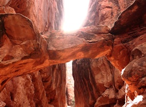
Fiery Furnace Loop
4.51.53 mi / 328 ft gainArches National Park is an incredible place with a variety of places to explore. One of the great places to explore is the Fiery Furnace. The Fiery Furnace requires a permit, which can be obtained at the Visitor Center after watching a short video. For the most part, they are making sure you are ...Read more -
Moab, Utah
Hike to the Klondike Bluff Dinosaur Track
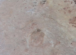
3.03 miI think these tracks are the best in Moab. Take route 191 north out of Moab for about 13 miles (mile post 142). Klondike Bluff road is on the right. If you pass the airport, you went too far. This road is easily accessed with two wheel drive cars. The parking area is at the end where you will see...Read more -
Grand County, Utah
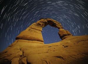
Delicate Arch
4.83.18 mi / 554 ft gainI headed out to the trailhead because I really wanted to shoot the super moon with the Delicate Arch. It was absolutely fantastic, especially during such a full moon. Everything was bathed in a soft glow, it was like I was on another planet actually. It was amazing to sit in silence and to try to...Read more -
Cisco, Utah
Off Road to the Top of The World
13.2 mi / 2000 ft gainThe off road trail called Top of the World is a dirt road meant for *OFF ROAD VEHICLES ONLY*. All wheel drives jeeps and trucks are most common on this route but it is frequented by ATV and Dirt Bike users as well. If you elect to hike this route be mindful of their presence and give off-road veh...Read more -
Moab, Utah
Balanced Rock Loop
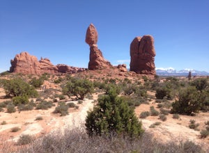
0.55 mi / 62 ft gainBalanced rock is a short loop and can be done in a short amount of time. You can spend a few minutes walking around the rock and snap a few pictures with your family. Make sure to stay on the well marked trail in order to preserve the environment.Read more -
Moab, Utah
Summit Elephant Butte
1.27 mi / 492 ft gainElephant Butte sits at 5653 ft. and is the highest point in Arches National Park. It requires two rappels using a 60m rope. In addition to this, it requires some short sections of low fifth class scrambling that can be difficult on wet rock. The approach starts at Garden of Eden trailhead. ...Read more -
Moab, Utah
Climb Owl Rock in Arches National Park
4.0Owl Rock is a fun, 100' single pitch spire right in the middle of Arches National Park. The approach is minimal, just a few minutes walk from the parking lot, and there's plenty of room at the base to set up for a nice day under the sun. It's a popular spot, so in case there's a short line, bring...Read more -
Grand County, Utah
Mountain Bike the Monitor-Merrimac Trail
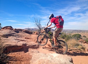
4.06 mi / 564 ft gainThe Monitor-Merrimac Trail is a scenic beginner level mountain bike trail in Moab, UT. It is located on BLM Land (Bureau of Land Management), so it is free to use year round. The trail is a 5.5 mile loop and has about 630’ of elevation gain. The Monitor-Merrimac Trail is slickrock for the majo...Read more -
Moab, Utah
Explore the Willow Springs Dinosaur Tracks
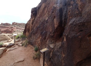
4.0I'm always find dinosaur tracks fascinating. Willow Springs has a few cool tracks not as defined as others but definitely noticeable. There is also an interpretive sign describing the tracks installed by the Bureau of Land Management. To find the tracks, drive north on 191. Over the Colorado Rive...Read more -
Moab, Utah
Hike the Mill Canyon Dinosaur Trail
5.01 mi / 50 ft gainThis short trail is located off Mill Canyon rd about 15 minutes north of Moab. A short walk from the parking area leads to an established interpretive trail with signage of where to look for the fossils and a description of what type of dinosaur they belong to. Several different types of dinosau...Read more -
Moab, Utah
Mountain Bike the Sovereign Trail
5.08 mi / 1000 ft gainStarting from the trailhead north of Moab on Dalton Wells Rd. Follow the Copper Ridge 4x4 road until you see the signs for the start of the Sovereign Trail. It starts with a steep uphill, but once you crest the top of the hill you are rewarded with a beautiful view of the La Sals and surrounding ...Read more -
Castle Valley, Utah
Double Arch
4.40.56 mi / 135 ft gainThe hike to Double Arch is a relatively flat and easy hike of 0.5 miles roundtrip. You can add this to the rest of the quick spots you may want to visit on your visit to Arches.This arch is created by two arches that shares the same stone as the foundation for their outer legs. This arch was form...Read more -
Moab, Utah
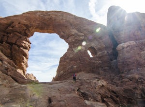
Window Arch Loop
5.01.14 mi / 62 ft gainTo get to the trailhead: After entering the park, keep driving along the main road until you see signs for The Windows Area (just past the Balanced Rock and a little over 9 miles from the Visitor Center). Follow this road until it ends in a parking lot and you see the arches to your right. The ...Read more -
Moab, Utah
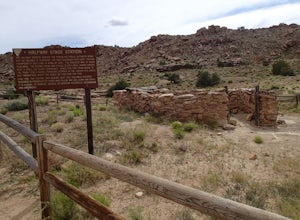
Explore the Halfway Stage Station
The Halfway Stage Station is a ruin site that is located off of Mill Canyon rd. This station served as the half way mark between Moab and Thompson which is where the train station was. It was 35 miles between Moab and Thomson so travelers would stop for lunch on there way to or from Thompson. The...Read more -
Moab, Utah
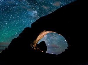
Photograph the Milky Way at North Window Arch
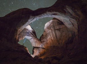
4.7Arches National Park is a must see for all photographers, but especially for astrophotography. Many of the most common places to shoot are balanced rock, and Delicate Arch and there's a good reason, these are beautiful places. North Window Arch is much less common, and even on a moonless night,...Read more -
Moab, Utah
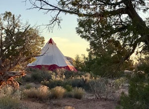
Camp at Willow Springs Trail
4.0Willow Springs Trail is state-owned land located 13 miles north of downtown Moab Utah. The state provides some vault toilets and port-o-lets throughout the area, but there are no designated campsites or fire rings. Along the main road, there are plenty of large flat spots that people with RV's or...Read more

