Glen Canyon National Recreation Area, Utah
Looking for the best photography in Glen Canyon National Recreation Area? We've got you covered with the top trails, trips, hiking, backpacking, camping and more around Glen Canyon National Recreation Area. The detailed guides, photos, and reviews are all submitted by the Outbound community.
Top Photography Spots in and near Glen Canyon National Recreation Area
-
Boulder, Utah
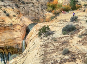
Upper Calf Creek Falls
5.01.76 mi / 571 ft gainFinding the trailhead for the Upper Calf Creek Falls can be a little difficult. Head east out of Escalante and follow highway 12 for about 20.6 miles. There will be a dirt turnout on the left hand side that leads to a dirt parking lot and a trail sign with registration for the Upper Calf Creek Fa...Read more -
Kane County, Utah
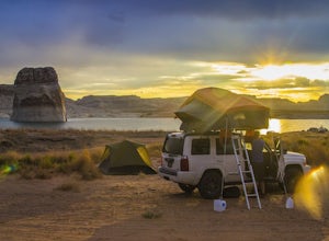
Beach Camp On Lake Powell's Lone Rock Beach
4.6Just twelve miles north of Page, Arizona on Highway 89 across the Utah border, Lone Rock Beach is a great open beach where you can drive right up and make camp anywhere you like. There is a $10 fee to get on the beach and it can get a little busy during the summer, but it seems like you can alway...Read more -
Page, Arizona
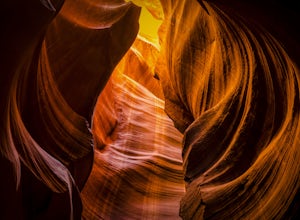
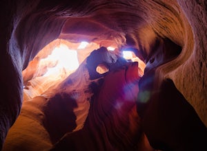
Antelope Canyon
4.7Antelope Canyon is the most-visited and most-photographed slot canyon in the American Southwest. It is located on Navajo land near Page, Arizona, and requires you to book a tour guide. But don’t let that dissuade you – this natural marvel is well worth it, and this is a must-do for amateur and p...Read more -
Lake Powell, Utah
Blarney Slot Canyons
Who doesn’t enjoy a little slot canyon fun?!…Not far from Hanksville, Utah is this 1-mile round trip hike to one of Utah’s less visited slot canyons. Although Blarney Canyon is generally known for its canyoneering route, you can follow either the West or East Fork wash to get to the slots. You’ll...Read more -
Page, Arizona
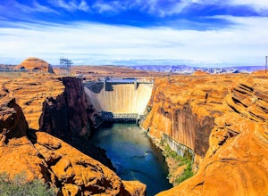
Hike the Glen Canyon Dam Overlook
5.00.11 mi / 124 ft gainThe Glen Canyon Dam separates the Colorado River from Lake Powell. The terrain on this hike is uneven and rocky. The overlook is located on Scenic View Drive off of highway 89. Glen Canyon Dam is located in Glen Canyon National Recreation Area.Read more -
Torrey, Utah
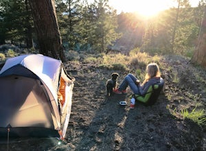
Camp at McMillan Springs In The Henry Mountains
McMillan Springs Campground is south of Hanksville, Utah and within the Henry Mountains, which run north and south between Canyonlands, and Capitol Reef National Parks. Situated at 8,400 feet, McMillan Springs Campground has moderate temperatures and is managed by the BLM, so fees are donation b...Read more -
Page, Arizona
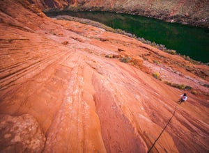
Hiking the Ropes Trail in Page Arizona
5.0The Ropes Trail is an old hiking trail below Glen Canyon Dam that has long since been abandoned by the park service. It is also one of the few trails that leads down the steep walls into the canyon. Let me say that again, it's steep. Getting there Take Highway 89 from Page going north and take th...Read more -
Boulder, Utah
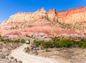
Drive the Burr Trail Scenic Backway
5.066.2 mi / 4124 ft gainThe Burr Trail is a 66 miles mostly-paved road connecting Boulder, Utah / Highway 12 with the Notom-Bullfrog road that passes through some of the most scenic (and largely untouched) painted-rock backcountry in three of our national parks/monuments including Grand Staircase-Escalante, Capitol Reef...Read more -
Mexican Hat, Utah
Camp at Muley Point
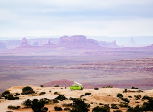
5.00.25 miMuley Point on the southern end of the Cedar Mesa is one of the finest camping (and car camping) sites in North America, towering some 2400' above the San Juan River Canyon (and The Goosenecks State Park) looking south directly into the northern mouth of Monument Valley. It is a breathtakingly be...Read more -
Mexican Hat, Utah
Explore Forrest Gump Hill
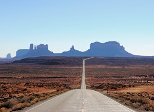
5.0If you are in or around Monument Valley, the drive and corresponding effort to get to Forrest Gump Hill is minimal. The location is known most notably as the spot where Forrest Gump ended his cross-country run in the movie. It's also simply an unbelievable view. From the most iconic site within M...Read more -
Escalante, Utah
Backpack the Escalante River
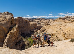
14 mi / 400 ft gainThe Escalante River trail is an easily accessible, moderately strenuous hike within Grand Staircase-Escalante National Monument. The national monument encompasses over 2 million acres of wilderness, choc-full of large canyons, narrow slot canyons, rivers, hoodoos, arches, natural bridges and more...Read more -
Boulder, Utah
Backpack Death Hollow in Grand Staircase-Escalante
22 mi / 1600 ft gainThe most popular route into Death Hollow is from the Boulder airstrip near the town of Boulder, Utah. The trailhead for the Boulder Mail Trail begins, or ends here depending on which way you are hiking. Leave a car at the Highway 12 bridge over the Escalante River for the thru hike, or get luck...Read more -
Garfield County, Utah
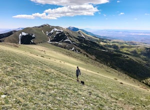
Hike Mount Ellen in Utah's Henry Mountains
4.04 mi / 1091 ft gainMount Ellen is considered an Ultra Prominent Peak. What's that you may ask? Well, Ultra Prominent Peaks are determined by how high the summit rises above its surroundings. Rising 5,812 feet above the desert floor with a summit elevation of 11,527 feet, Mount Ellen is the third most prominent peak...Read more -
Page, Arizona
Explore Canyon X
5.01 mi / 100 ft gainCanyon X is just a little further than Antelope if you are coming from page. If you want to avoid crowds and tour buses, check out the three incredible caves Canyon X has to offer. There is only one company that does Canyon X tours as it Native owned. You can make a reservation here. When you...Read more -
Page, Arizona
Hike the Page Mesa Trail
13.2 mi / 800 ft gainThe best way to loop is counter-clockwise, to avoid unnecessary uphill distance. The trail features wonderful wildflowers in the spring, and is open year round. The Page Mesa Trail typically takes between 1 and 3 hours to hike. The trail is also a fabulous location for mountain biking and is dog ...Read more -
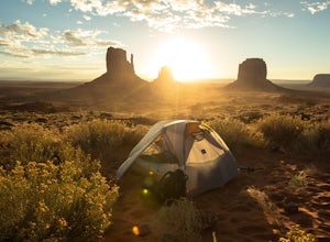
Oljato-Monument Valley, Arizona
Camp at The View Campground in Monument Valley
4.43.2 mi / 0 ft gainOther than the spectacular landscape, the park really doesn't possess any of the attributes one would associate with the "wild west." Rather, an introduction to the Navajo culture is what awaits visitors. Located on the Navajo Reservation, a vast parcel of land spanning portions of Western New Me...Read more

