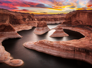
Escalante, Utah
Looking for the best hiking in Escalante? We've got you covered with the top trails, trips, hiking, backpacking, camping and more around Escalante. The detailed guides, photos, and reviews are all submitted by the Outbound community.
Top Hiking Spots in and near Escalante
-
Torrey, Utah
Sunset Point, Capitol Reef NP
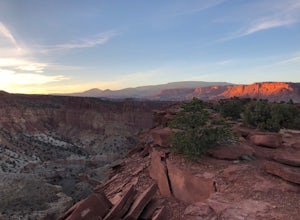
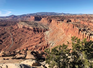
2.53 mi / 1047 ft gainSunset Point Trail is an quick and easy 0.4 mile hike near the entrance of the park that provides you with beautiful views of the Capital Reef rim from the opposite side of the park. As the evening descends the setting sun illuminates the red rim rock formations giving them the best photographic ...Read more -
Torrey, Utah
Capitol Reef's Sulphur Creek Route
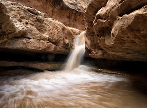
4.85.87 mi / 1191 ft gainThis is a point-to-point hike that either requires a shuttle or 3 mile walk along highway 24. The starting trailhead is the Chimney Rock Trailhead which has limited parking. The ending trailhead is the Capitol Reef National Park Visitors Center. We only had one car so I dropped everyone off at th...Read more -
Torrey, Utah
Hike the Chimney Rock Loop, Capitol Reef NP
5.03.46 mi / 909 ft gainFrom the trailhead, the trek starts off pretty step. You will reach a fork near the top of the plateau which starts the official loop. At the junction go left (counterclockwise). The trail offers wonderful views along the way. The loop will bring you on top of "chimney rock" for views over Hwy 24...Read more -
Kane County, Utah
Sunrise Arch
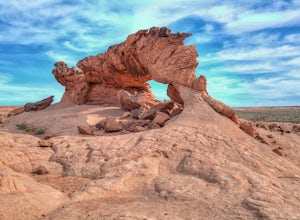
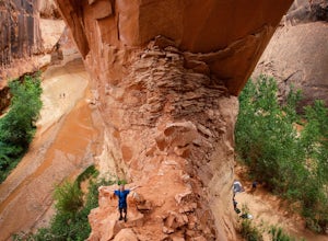
The trailhead starts at Coyote Gulch Trailhead in the Grand Staircase - Escalante National Monument. There is actually no trail to the arches but they are pretty easy to find and even easier with a GPS. The coordinates are Sunrise Arch = 37.382214,-111.04838 and Sunset Arch = 37.38191,-111.048397...Read more -
Kane County, Utah
Day Hike Crack-in-the-Wall to Jacob Hamblin Arch in Coyote Gulch
5.011 mi / 2000 ft gainDrive to Hole in the Rock Road outside of Escalante UT. Drive SE down the all-dirt Hole in the Rock Road for 36 miles to a signed turn off on your left. The road can be sandy and bumpy from here, so consider the car you're using. Travel NE for 7 miles to the 40 Mile Ridge TH. From Here, follow a ...Read more -
Wayne County, Utah
Navajo Knobs
9.11 mi / 2018 ft gainNavajo Knobs is one of Capital Reef’s most spectacular hikes. It brings you, moderately, to one of Capital Reef’s most spectacular viewpoints of the main park’s viewpoints. (Tip: Upon arriving at the park the Ranger recommended this as her favorite hike, and it lived up to the hype! If you’re lo...Read more -
Wayne County, Utah
Hickman Natural Bridge Trail
4.51.82 mi / 413 ft gainStarting at 5350' in elevation, the hike to Hickman natural bridge is one of the best hikes in Capitol Reef National Park for families with small children. The hike is just under two miles round trip and doesn't include any steep or exposed sections. You'll begin your hike next to the Fremont Ri...Read more -
Kanab, Utah
Explore Pahreah Ghost Town
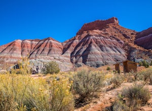
5.0Pahreah was a townsite established along the Escalante River in 1870's. The town grew to include a general store, church, and enough homes to house 47 families at its peak. Due to the close proximity to the Escalante River, the town was flooded every year from 1883 to 1888, washing away crops and...Read more -
Kane County, Utah
Hike to Broken Bow Arch
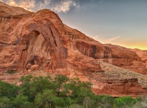
4.76.28 mi / 732 ft gainThe trailhead starts at the Willow Gulch Trailhead, located just off of Hole in the Rock Road in the Grand Staircase -Escalante National Monument. The coordinates for the trailhead are 37.324812,-111.023019. To get there head east on highway 12 out of Escalante, Utah until you get to Hole in the ...Read more -
Torrey, Utah
Camp at McMillan Springs In The Henry Mountains
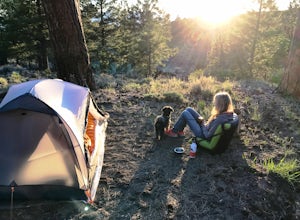
McMillan Springs Campground is south of Hanksville, Utah and within the Henry Mountains, which run north and south between Canyonlands, and Capitol Reef National Parks. Situated at 8,400 feet, McMillan Springs Campground has moderate temperatures and is managed by the BLM, so fees are donation b...Read more -
Kanab, Utah
Hike to the Toadstools Hoodoos
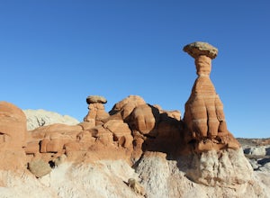
5.01.8 mi / 141 ft gainLocated just off of the side of the US-89 highway between Springdale and Page (about 40 miles east of Kanab) you'll probably drive right past this park and have to pull a u-turn (I did!), but it's worth the stop! Keep your eyes out on the North side of the highway for a little parking lot with a ...Read more -
Garfield County, Utah
Hike Mount Ellen in Utah's Henry Mountains
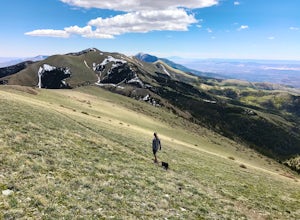
4.04 mi / 1091 ft gainMount Ellen is considered an Ultra Prominent Peak. What's that you may ask? Well, Ultra Prominent Peaks are determined by how high the summit rises above its surroundings. Rising 5,812 feet above the desert floor with a summit elevation of 11,527 feet, Mount Ellen is the third most prominent peak...Read more -
Kane County, Utah
Reflection Canyon
5.015.24 mi / 1368 ft gainBackpacking Reflection Canyon is not for the faint of heart. It's an intense, challenging hike that takes you through slot canyons, climbing up and down shifty sandstones and traversing rugged terrains and ravines. Although the elevation gain is almost nothing, the up and down climbs from one rav...Read more

