Top Spots in and near Donut Falls Trailhead
-
Kamas, Utah
5.0
4.6 mi
/ -600 ft gain
The hike to Notch Lake begins at the Bald Mountain trailhead. You'll need to display a recreation pass in your vehicle to park at the trailhead. You can purchase a pass for $6 at the fee station entering the forest boundary (east of Kamas) or at the Forest Service office right in Kamas. Take the ...
Read more
-
Kamas, Utah
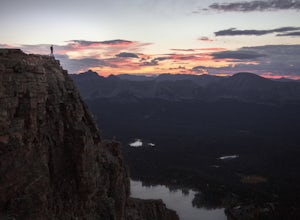
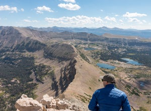
Bald Mountain is one of the most popular hikes in the Uintas, so get an early start if you want to beat the crowds. Those willing to hike in before dawn will be rewarded with an unforgettable sunrise at the summit. I HIGHLY recommend this as a sunrise hike.
The trail starts out with steep switchb...
Read more
-
Hanna, Utah
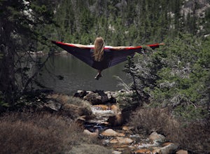
Grab a fishing pole, hammock, or book. Pyramid Lake is the perfect setting to kick back and relax in Murdock Basin of Utah's Uinta Mountains!
Pyramid Lake is at an elevation of 9,700 feet with a 1,000-foot tall mountain directly to the west of the lake. Due to this steep face butting up to the e...
Read more
-
Syracuse, Utah
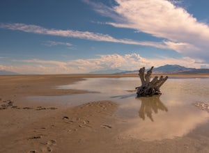
If you've ever visited Antelope Island State Park, there is no doubt you've seen the stump. This dead, bleached focal point with it's gnarled branches stands out in the middle of the vast landscape of the Great Salt Lake. It is located on the South side of the causeway, approximately two miles fr...
Read more
-
Hanna, Utah
The hike to Cuberant Lake is 3-miles with a couple of steeper sections, but for the most part, it is a flat hike. From the Pass Lake Trailhead, you will head west on the Lofty Lake Loop Trail. On this part of the trail, you pass through meadows with Bald and Reid Peaks in the background, which is...
Read more
-
Hanna, Utah
Lofty Lake Loop Trail is located in the High Uintas near Kamas, Utah. The trail can be found right off the Mirror Lake Scenic Byway about 32 miles east of Kamas and starts at the Pass Lake Trailhead.
This is a fairly mellow trail with some areas of good elevation gain, enough to get your heart w...
Read more
-
Huntsville, Utah
4.5
2.44 mi
/ 436 ft gain
About a mile before Snowbasin, is a parking lot with a map and trail marker. The first incline is steep and follows a single track trail that leads to the ponds. This trail is great year-round, but in the winter, you may have some stray backcountry snowboarders in the area. It's pretty quiet over...
Read more
-
Springville, Utah
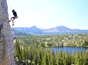
This is a sweet spot to go rappelling near Spanish Fork, UT. It's located at the Red Ledges in Diamond Fork Canyon. There is a picnic area, grill and restrooms near the base. The unique formations are beautiful to hike around and fun to rappel down. The hike is pretty short, but steep. We did...
Read more
-
Ogden, Utah
3.0
3.3 mi
/ 1699 ft gain
Waterfall Canyon Trail via Ogden Park is an out-and-back trail that takes you by a waterfall located near Ogden, Utah.
Read more
-
Utah County, Utah
4.4
4.63 mi
/ 663 ft gain
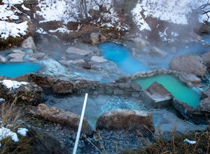
When you hike out to Diamond Fork aka Fifth Water hot springs, get ready for an amazing experience! The lower fall is visible from the main pool. If you want to continue to go further up the creek, you will run into the second fall, which is the most photogenic of them all. There are also two poo...
Read more
-
Utah County, Utah
5.0
4.98 mi
/ 787 ft gain
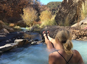
Fifth Water Hot Springs from Rays Valley Trailhead is an out-and-back trail that takes you to a hot springs located near Spanish Fork, Utah. Dogs are permitted on this trail on-leash. If heading to the hot springs with your pup, please be respectful of others visiting the hot springs. Along this ...
Read more
-
Oakley, Utah
There isn't a trail to Cutthroat Lake so for a portion of the hike will be cross-country. I highly recommend bringing a GPS but with intermediate route-finding skills you should be able to find your way. We used the Gaia GPS app and this made the hike much easier. The distance depends on the r...
Read more
-
Oakley, Utah
Getting There From Evanston, take the Mirror Lake Highway 150 about 42 miles to the Ruth Lake trailhead and follow the easy hike up from the highway; just look for the signs directing you to Ruth Lake. The Trail/The Climbs Once on the trail, keep an eye out to your left and soon you'll see the cl...
Read more
-
Oakley, Utah
The Uintas are a high elevation, pristine mountain wilderness located in Utah. This range receives over 400 inches of precipitation annually, and you can find water everywhere. There are 400+ miles of streams, waterfalls, and more than 2,000 lakes! One of the prettiest and most accessible of th...
Read more
-
Evanston, Utah
Naturist Basin is a beautiful area in the High Uintas Wilderness with an abundance of mountains, lakes, meadows, and wildlife. It is best hiked July-September.
To get to the trailhead, drive up the Mirror Lake Scenic Byway until you reach the Highline Trailhead Campground, about 3 miles past Mi...
Read more
-
Evanston, Utah
Hayden Peak is by all means the monarch mountain of the Mirror Lake Highway. By that, I mean that Hayden Peak is easily the most rugged and impressive peak that can be viewed from the road. Driving over Bald Mountain Pass towards Evanston, WY, this peak looks amazing. There are few mountains out ...
Read more

