Donut Falls Trailhead, Utah
Looking for the best photography in Donut Falls Trailhead? We've got you covered with the top trails, trips, hiking, backpacking, camping and more around Donut Falls Trailhead. The detailed guides, photos, and reviews are all submitted by the Outbound community.
Top Photography Spots in and near Donut Falls Trailhead
-
Saratoga Springs, Utah
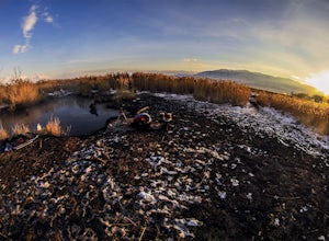
Saratoga Hot Springs
3.30.7 mi / 46 ft gainAwesome all year round, but one of the best places to chill out during winter. The water is just hot enough to feel amazing and escape from the cold. This place is public and not supervised. It does close from 10pm-6am and police have been known to pass by and enforce it. Pulling in to the parki...Read more -
Herriman, Utah
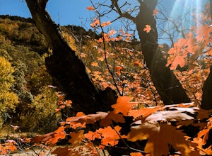
Drive Butterfield Canyon
4.5Butterfield Canyon is a little-known canyon on the west side of Utah Valley. Beautiful any time of the year, it is especially beautiful in the fall—all the leaves changing colors! When you reach the marked location, turn onto Butterfield Canyon Road. Drive until you reach the end of the road (it...Read more -
Coalville, Utah
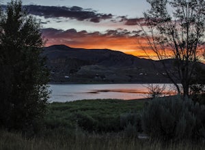
Camp at Echo Reservoir
5.0This scenic reservoir provides you with the opportunity to spend the day on the water. To get here, drive around 45 minutes from Park City toward Coalville. Get off for the exit and take a left once in town; drive along this road until you see the campground entrance on your left.Overnight passes...Read more -
Herriman, Utah
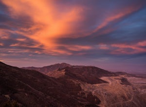
Hike to Kennecott Copper Mine
5.04 miFrom Salt Lake City go on UT-201W, then take Bacchus Highway all the way until the intersection with Butterfield Canyon Road. This is where you can park your car and follow the dirt road for roughly 2 miles until you come to a fork. One road from the fork leads to Middle Canyon and the other to t...Read more -
Provo, Utah
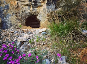
Hike to Buckley's Abandoned Mine
4.63 mi / 200 ft gainOnce you reach the mine it's gated but you can slide in. Follow the main tunnel a hundred or so feet back and climb the 75 foot ladder up to the second level. You can then make your way back out to the cliff face where there is another gate to the outside. That gate is a little trickier to squeez...Read more -
Salt Lake City, Utah
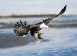
Birding at Farmington Bay
5.0Every winter as the ice thaws, eagles gather at Farmington Bay to feed on huge populations of carp. This can produce a pretty amazing set of circumstances where it's not uncommon to see birds feeding just 50 yards from shore.The prime viewing opportunity happens around "Bald Eagle Day," an event ...Read more -
Tooele, Utah
Catch a Sunset at the Great Salt Lake Marina
Head west on I-80 and get off on the Saltair exit. You will drive past the music venue and into the Great Salt Lake state park. Right before the marina you will veer left onto a dirt road and this will take you right up to the black rock. Prepare yourself for the wonderful smell of the Great Salt...Read more -
Kamas, Utah
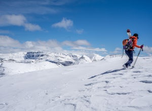
Backcountry Ski Mt. Watson in the Uinta Mountains
Mt. Watson is a beauty. It is one of the tallest peaks directly outside of the High Uintas Wilderness area and has a stunning East face that is very steep and littered with cliff bands. Many people hike around Mt. Watson in the summer, when the Mirror Lake Highway is open and the trailhead is eas...Read more -
Layton, Utah
Adams Canyon
4.83.55 mi / 1434 ft gainThe trailhead is at a dirt parking lot with a lot of parking, but on Saturday mornings it can get full and people are forced to park on the street. As you start off, there are a few steep and sandy switchbacks. They don't last too long but on a hot day it can seem like forever. After that, the t...Read more -
Saratoga Springs, Utah
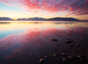
Photograph the Sunrise at Utah Lake
4.0Turn off Highway 68 onto a dirt road towards Utah Lake. You'll see a large sign on your left and a small hill with ATV trails in the distance on your right. Follow the dirt road straight down past the hill. After veering right you can park down fairly close to the water's edge. The dirt road is f...Read more -
Layton, Utah
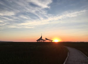
Stroll through the Great Salt Lake Shorelands Preserve
5.01 miThe wetlands of The Nature Conservancy's Great Salt Lake Shorelands Preserve are a unique system of salt and fresh water marshes, ponds, pools, sloughs and mudflats. It is a rich feeding ground for tens of thousands of migrating birds, making this destination a birder's paradise.Great for all ski...Read more -
Springville, Utah
Maple Mountain (aka Spanish Fork Peak)
10.56 mi / 4524 ft gainThe trail starts out very easy, but keep an eye out for the fork in the trail at the creek. It's easy to miss. It's right at the metal bench that will be on the left. Cross the creek and continue another quarter mile or so when you'll notice another branch to your left. Keep going straight here a...Read more -
Kamas, Utah
Hike to Island Lake
5.09 mi / 1000 ft gainThere are many lakes in this area, but Island Lake is the only one with epic cliff jumping. You can camp anywhere around the lake and campfires are permitted.The cliff is best to jump off mid summer when the water is the warmest, but it's always pretty cold. The cliffs are about 30-50 feet tall. ...Read more -
Kamas, Utah
Backpack to Island Lake
5.06 mi / 1000 ft gainYou begin at the Crystal Lake trailhead off of the Mirror Lake Highway. On the way to Island Lake you pass several other lakes including, Crystal Lake and Long Lake. The hike is not too hard but there are several switchbacks at the end to get you up above the ridge where the lake is located. It ...Read more -
Kamas, Utah
Hike to Round, Sand, and Fish Lake in the Uinta Mountains
9 mi / 2000 ft gainThe Dry Fork Trailhead at the end of Weber Canyon Rd is the starting point for the hike to Round, Sand, and Fish Lakes in the Uinta Mountains of Utah. In the early spring and summer, this trail can be wet due to snowmelt runoff, but by mid-summer, it dries out and is a fantastic hike. The trail i...Read more -
Kamas, Utah
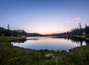
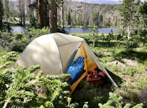
Camp at Shallow Lake Meadow
Located 1.5 hours from Salt Lake Cityand just 1 hour from Park City this mountain meadow is a great placeto take your next adventure! Getting there was a piece of cake, theroad is mainly paved then turns to lava...I mean gravel for the lastmile. Along the road are several already established camp...Read more

