Canyonlands National Park, Utah
Looking for the best photography in Canyonlands National Park? We've got you covered with the top trails, trips, hiking, backpacking, camping and more around Canyonlands National Park. The detailed guides, photos, and reviews are all submitted by the Outbound community.
Top Photography Spots in and near Canyonlands National Park
-
Moab, Utah
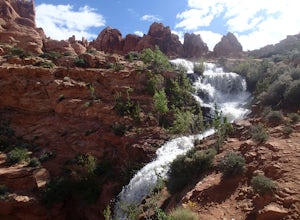
Explore Faux Falls
1 mi / 200 ft gainFaux Falls is located near the Ken's Lake campground off Route 191, 20 minutes south of Moab. When I was there it was during several days of thunderstorms. The waterfall was really gushing. Not sure how much water is running when there hasn't been rain in a while. The falls can be seen from the ...Read more -
Moab, Utah
Camping at Granstaff Campground
5.0Granstaff Campground has 17 campsites available, which are first come, first served. The sites are $15 a night per vehicle. The campground is a little limited and doesn't have running water, so bring your filter or head into town and pick up supplies.During the day, you can easily make your way t...Read more -
Monticello, Utah
Backpack Salt Creek
33 mi / 1000 ft gainThe Needles District of Canyonlands receives 6 times as many backpackers as its more popular neighbor across the Colorado River, Island in the Sky. The Needles has an excellent trail network that is incredibly diverse, featuring amazing rock features as well as grassy meadows and savannahs. Whil...Read more -
Moab, Utah
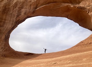
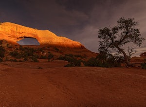
Climb Wilson Arch
Wilson Arch is a common stop for people visiting the local national parks and Moab, but with some general climbing knowledge and gear you can make this into a longer outing. If coming from Moab, the arch is obvious on your left about 25 miles south. There is ample parking on both sides of the r...Read more -
Moab, Utah
Hiking to Wilson Arch
4.3To get to Wilson Arch, drive south of Moab on US-191 S for about 25 miles. The arch is right off US-191S and there is parking on either side of the highway. Keep an eye out after you pass the LaSal Junction - the arch is visible from the road.From the parking lot there is a a very short (~0.5 mil...Read more -
Moab, Utah
Explore the Halfway Stage Station
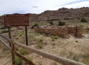
The Halfway Stage Station is a ruin site that is located off of Mill Canyon rd. This station served as the half way mark between Moab and Thompson which is where the train station was. It was 35 miles between Moab and Thomson so travelers would stop for lunch on there way to or from Thompson. The...Read more -
Moab, Utah
Hike the Mill Canyon Dinosaur Trail
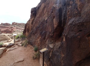
5.01 mi / 50 ft gainThis short trail is located off Mill Canyon rd about 15 minutes north of Moab. A short walk from the parking area leads to an established interpretive trail with signage of where to look for the fossils and a description of what type of dinosaur they belong to. Several different types of dinosau...Read more -
Moab, Utah
Explore the Willow Springs Dinosaur Tracks
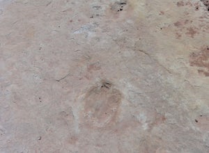
4.0I'm always find dinosaur tracks fascinating. Willow Springs has a few cool tracks not as defined as others but definitely noticeable. There is also an interpretive sign describing the tracks installed by the Bureau of Land Management. To find the tracks, drive north on 191. Over the Colorado Rive...Read more -
Monticello, Utah
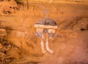
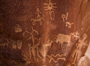
Explore the Newspaper Rock Ancient Petroglyphs
4.7After leaving Moab, turn off Highway 191 on to 211. The drive will wind over the mesa tops and down into red rock canyon country. Enjoy the changing seasons whether the red cliffs are covered in snow or spring desert flowers are blooming.Watch for cattle as this is open range country. Also watch ...Read more -
Moab, Utah
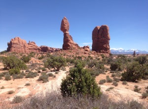
Balanced Rock Loop
0.55 mi / 62 ft gainBalanced rock is a short loop and can be done in a short amount of time. You can spend a few minutes walking around the rock and snap a few pictures with your family. Make sure to stay on the well marked trail in order to preserve the environment.Read more -
Moab, Utah
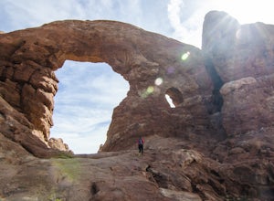
Window Arch Loop
5.01.14 mi / 62 ft gainTo get to the trailhead: After entering the park, keep driving along the main road until you see signs for The Windows Area (just past the Balanced Rock and a little over 9 miles from the Visitor Center). Follow this road until it ends in a parking lot and you see the arches to your right. The ...Read more -
Castle Valley, Utah
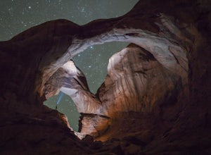
Double Arch
4.40.56 mi / 135 ft gainThe hike to Double Arch is a relatively flat and easy hike of 0.5 miles roundtrip. You can add this to the rest of the quick spots you may want to visit on your visit to Arches.This arch is created by two arches that shares the same stone as the foundation for their outer legs. This arch was form...Read more -
Moab, Utah
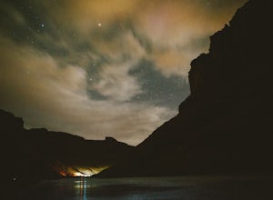
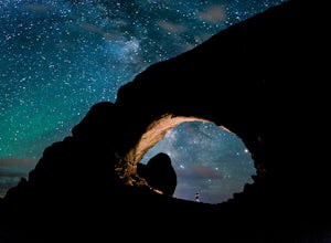
Photograph the Milky Way at North Window Arch
4.7Arches National Park is a must see for all photographers, but especially for astrophotography. Many of the most common places to shoot are balanced rock, and Delicate Arch and there's a good reason, these are beautiful places. North Window Arch is much less common, and even on a moonless night,...Read more -
Moab, Utah
Summit Elephant Butte
1.27 mi / 492 ft gainElephant Butte sits at 5653 ft. and is the highest point in Arches National Park. It requires two rappels using a 60m rope. In addition to this, it requires some short sections of low fifth class scrambling that can be difficult on wet rock. The approach starts at Garden of Eden trailhead. ...Read more -
Moab, Utah
Mountain Bike Moab's Porcupine Rim
5.015 mi / 1000 ft gainThis ride is one of the most popular in Moab, let alone the state of Utah. With that said, you probably won't have the trail to yourself so be sure to take time to hangout at the best vista points and chat with the other riders. Although the shuttles try to stagger the drop-offs, there will be ri...Read more -
Moab, Utah
Hike to the Klondike Bluff Dinosaur Track
3.03 miI think these tracks are the best in Moab. Take route 191 north out of Moab for about 13 miles (mile post 142). Klondike Bluff road is on the right. If you pass the airport, you went too far. This road is easily accessed with two wheel drive cars. The parking area is at the end where you will see...Read more

