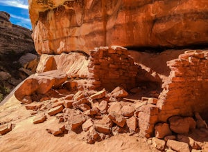
Canyonlands National Park, Utah
Looking for the best photography in Canyonlands National Park? We've got you covered with the top trails, trips, hiking, backpacking, camping and more around Canyonlands National Park. The detailed guides, photos, and reviews are all submitted by the Outbound community.
Top Photography Spots in and near Canyonlands National Park
-
Moab, Utah
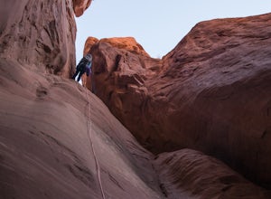
Descend Lost and Found Canyon
4 mi / 600 ft gainFor this descent you will need two 60 meter ropes, an Arches National Park canyoneering permit, be comfortable with 4th class slick rock, and have your usual canyoneering kit. This canyon does require some basic chimneying and canyoneering climbing techniques as well. The trailhead can be reache...Read more -
Lake Powell, Utah
Blarney Slot Canyons
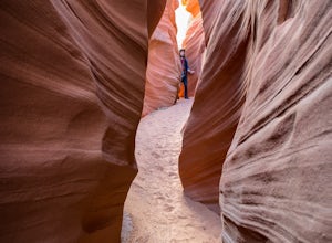
Who doesn’t enjoy a little slot canyon fun?!…Not far from Hanksville, Utah is this 1-mile round trip hike to one of Utah’s less visited slot canyons. Although Blarney Canyon is generally known for its canyoneering route, you can follow either the West or East Fork wash to get to the slots. You’ll...Read more -
Green River, Utah
Explore a Manmade Geyser in Utah
3.0Four and a half miles from the town of Green River, Utah, Crystal Geyser is one of the few manmade geysers as a result of the area's historical mining industry. This cold-water geyser usually erupts every eight to 20 hours. Getting There Getting to the geyser is easy and the site can be accessed ...Read more -
Cisco, Utah
Off Road to the Top of The World
13.2 mi / 2000 ft gainThe off road trail called Top of the World is a dirt road meant for *OFF ROAD VEHICLES ONLY*. All wheel drives jeeps and trucks are most common on this route but it is frequented by ATV and Dirt Bike users as well. If you elect to hike this route be mindful of their presence and give off-road veh...Read more -
Green River, Utah
Hike to Goblin's Lair and Carmel Canyon
4.53.18 mi / 433 ft gainThis beautiful, isolated hike also makes for a flexible route – very few places in Goblin Valley are off limits, allowing you to customize the adventure as much as you please. The hike begins on a rapidly descending trail, heading into the heart of Goblin Valley State Park. After a quarter mile ...Read more -
Green River, Utah
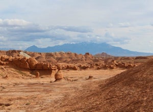
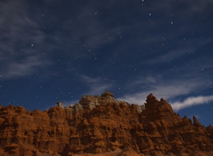
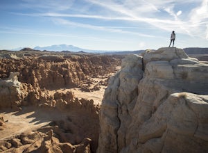
Exploring Goblin Valley
4.5Goblin Valley Can entertain you for 1 hour or 10. There are no established trails, so you are free to wander around the entire park. There are cliffs to climb, slot canyons to explore and hoodoos to discover. From the parking area, you descend about 100 feet into the valley. Once you are down the...Read more -
Green River, Utah
Camp at Goblin Valley
3.8Goblin Valley State Park is in a rural section of southern Utah, but if you type it into Google Maps you will go straight there. There are awesome campsites within the park but they require reservations. If you didn't take the time to reserve a campsite, don't worry, there is plenty of BLM land r...Read more -
Thompson, Utah
Photograph Sego Canyon Indian Rock Art
0.3 mi / 0 ft gainLocated north of Moab, off U.S. Route 70 is Sego Canyon. There is a dirt road that travels north up into the canyon to an interesting and unique area of Indian rock art. There are three different sections covering three different time periods and Indian groups. The petroglyph panel to the left ...Read more -
Lake Powell, Utah
Hike to Horse Collar Ruin at Natural Bridges National Monument
5.03.2 mi / 500 ft gainNatural Bridges National Monument is one of Utah's many geologic wonders. While this monument is primarily known for its bridges, it also has an impressive collection of cliff dwellings known as Horse Collar Ruin. The dwellings have passed the test of time after being abandoned by native people m...Read more

