Bryce Canyon City, Utah
Looking for the best photography in Bryce Canyon City? We've got you covered with the top trails, trips, hiking, backpacking, camping and more around Bryce Canyon City. The detailed guides, photos, and reviews are all submitted by the Outbound community.
Top Photography Spots in and near Bryce Canyon City
-
Boulder, Utah
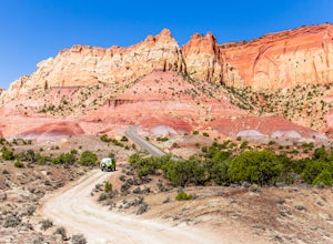
Drive the Burr Trail Scenic Backway
5.066.2 mi / 4124 ft gainThe Burr Trail is a 66 miles mostly-paved road connecting Boulder, Utah / Highway 12 with the Notom-Bullfrog road that passes through some of the most scenic (and largely untouched) painted-rock backcountry in three of our national parks/monuments including Grand Staircase-Escalante, Capitol Reef...Read more -
Escalante, Utah
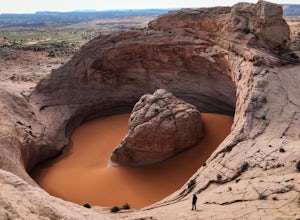
Hike to the Cosmic Ashtray
4.08 mi / 800 ft gain...As a frequent traveler, what's always motivated my travels were locations that have either been on my bucket list, or are places that are photogenic and a little off the beaten path. During my recent 3 week road trip through Northern Arizona and Southern Utah, I had the opportunity to visit a ...Read more -
Boulder, Utah
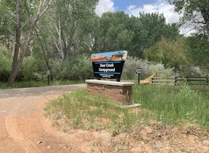
Camp at Deer Creek Campground
5.0Deer Creek campground is off of the Burr Scenic drive and right outside of the lower part of Capitol Reef National Park. This campground is perfect if you are driving from Bryce Canyon to Capitol Reef. There are a total of 7 tent sites in the campground. There are no spots for RVs and no turn aro...Read more -
Orderville, Utah
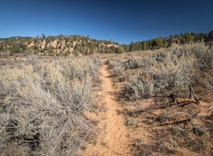
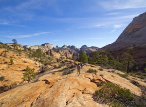
East Rim Trail, Zion NP
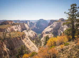
5.010.19 mi / 3000 ft gainThe East Rim Trail is approximately 10-miles (one-way) and can either be started from the Eastern Entrance of Zion National Park, or more commonly from the Hidden Canyon or Observation Point Trailheads. Many people start from within Zion Canyon and do the arduous Observation Point Trail, forgoing...Read more -
Marble Canyon, Arizona
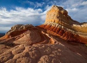
Hike to the White Pocket
5.04 miWhite Pocket is extremely difficult to access due to the road leading to it. There are sections with very deep, soft sand going uphill! You must have a high clearance 4WD vehicle and air down your tires to have any hope of making it here. Do not take this lightly, a tow bill will cost you a minim...Read more -
Marble Canyon, Arizona
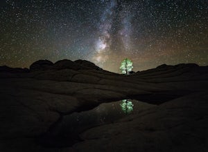
Night Photography at White Pocket
White Pocket is a remote outcropping of sandstone formations in Vermillion Cliffs National Monument similar to the famous "Wave". Unlike The Wave, a permit isn't needed to visit, but you will need a high-clearance 4WD vehicle with good tires; alternatively, you can hire a 4WD tour service in near...Read more -
Springdale, Utah
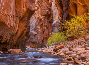
The Narrows, Zion NP
4.99.73 miHiking the narrows in Zion National Park is one of my favorite hikes and something I return for almost every year, I can still remember my first visit as a kid. There's no other place like it in the National Park system and the stunning beauty of its towering walls and vibrant river make it a top...Read more -
Springdale, Utah
Hike Observation Point
5.06.8 mi / 2100 ft gainThis is the best trail in Zion Canyon to beat the crowds while experiencing the awe and wonder it has to offer. We take this trail every time we visit Zion and never tire of it. It is an 8 mile out and back hike that takes you up, up, up then down, down, down. Be prepared to get your heart going!...Read more -
Springdale, Utah
Hidden Canyon Trail
4.63.22 mi / 2185 ft gainNOTE: This trail is currently closed due to a large rockfall. Please visit the NPS.Gov website for updates. This trail starts at Weeping Rock Trailhead, it's the same trailhead for Observation Point and the East Rim Trail. You will start this hike up a paved section with several switchbacks up ...Read more -
Springdale, Utah
Canyoneering Echo Canyon, Zion
3 mi / 1100 ft gainDisclaimer: Canyoneering is a dangerous and technical activity. Don’t enter any canyon without the skills to match it, or the knowledge to navigate it. Echo Canyon requires a canyoneering permit that can be reserved online and picked up at the Zion Visitor Center. Be sure to reserve your permit 3...Read more -
Springdale, Utah
Canyoneering Keyhole Canyon
4.0Keyhole Canyon is an experience for the adventurous, thrill seeking explorer. Hidden between the jagged mountains of Zion National Park, this canyon sits roadside, just two miles from the east entrance. Before we continue, please note that Canyoneering is a dangerous sport. This canyon is not for...Read more -
Washington County, Utah
Zion National Park Bus stop 8
2.7According to the park, there is nothing at this spot, so not many people stop. If you do not like large crowds, this is the perfect place to stop. There is a small trail that leads to the river and a beautiful vista with the massive canyon walls on all sides. There are several areas in this part ...Read more -
Hurricane, Utah
Aid Climbing Moonlight Buttress
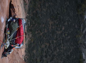
Moonlight Buttress follows an amazing system of cracks up some really solid sandstone. The route is 5.8 C1 and is very straightforward. Hauling on the first few pitches is an absolute nightmare, but spending the night on the wall is spectacular. To get more info on the route check out the followi...Read more -
Springdale, Utah
Hike Many Pools
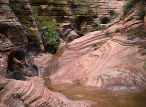
4.62 miTo get there, drive about .8 miles east of the smaller tunnel on the Zion-Mt. Carmel highway. There will be a place to pull out and park on a large turn. Continue walking down the road about 150 yards east and cross the street before the next turn. There is no marked trail, but there should be a ...Read more -
Hurricane, Utah
West Rim Trail, Zion NP
5.014.41 mi / 3000 ft gainThis 14.5 mile (one-way) trek is a multi-functional trail. The trail can serve as standalone trail allowing hikers to get in either a solid in-and-out day hike or as a leg to a much bigger and epic Trans-Zion Trek. For those interested in the later, the West Rim Trail is the leg of the journey th...Read more -
Hurricane, Utah
Canyoneering Boundary Canyon, Zion
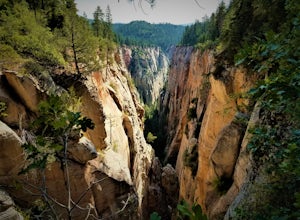
8 mi / 2000 ft gainDisclaimer: Canyoneering is a dangerous and technical activity. Don’t enter any canyon without the skills to match it, or the knowledge to navigate it. Your Boundary Canyon adventure starts at the West Rim Trailhead with a pleasant stroll down an old logging road. Dodge fallen trees and enjoy a l...Read more

