Antimony, Utah
Looking for the best hiking in Antimony? We've got you covered with the top trails, trips, hiking, backpacking, camping and more around Antimony. The detailed guides, photos, and reviews are all submitted by the Outbound community.
Top Hiking Spots in and near Antimony
-
37.475264,-112.239586
Hike the Bristlecone Loop Trail
3.00.98 mi / 180 ft gainThe trail begins from the South side of the parking lot and is well marked with signs and information placards. Walk for approximately 5 minutes before reaching the intersection where the two ends of the loop come together. This loop can be done in either direction so you can take your pick. T...Read more -
37.475289,-112.240302
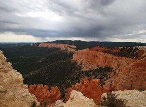
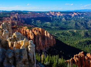
Hike Bryce Canyon's Riggs Spring Loop
5.08.71 mi / 2044 ft gainBryce Canyon National Park in Utah is a spectacular place. It really has to be seen to be believed. Some of the most scenic parts of Bryce are easily accessible by the average visitor via car-accessible overlooks. However, if you're not into crowds or want to hike/backpack in Bryce...there are so...Read more -
Kane County, Utah
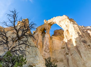
Hike to Grosvenor Arch
5.01.16 mi / 285 ft gainGrosvenor Arch is a sandstone double arch located in Grand Staircase-Escalante National Monument. The arch is named after Gilbert Hovey Grosvenor, a president of the National Geographic Society. To reach the arch, park in the trailhead parking lot off Last Chance Creek Road. The arches are vis...Read more -
Wayne County, Utah
Hike Lower Cathedral Valley Overlook
2 mi / 150 ft gainNow most of the pictures you see from Capitol Reef are from cathedral valley. But not many take the time to get above the most photographed area of the park. Off of Hartnet Road, at mile 17.6 you will find a small dirt parking lot for the trailhead (were talking middle of nowhere, so no pit toile...Read more -
Cedar City, Utah
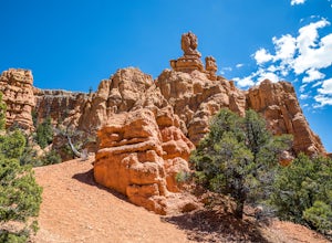
Hike the Hoodoo Loop Trail in Dixie National Forest
5.00.3 miHoodoo's are unique rock formations formed over many years by erosion. In this region, the hoodoos are formed through a process called frost wedging. This is the process of repeated freeze thaw cycles. As snow melts the water seeps between the cracks in the rocks then freezes at night when the...Read more -
Escalante, Utah
Explore Devils Garden
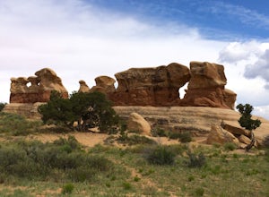
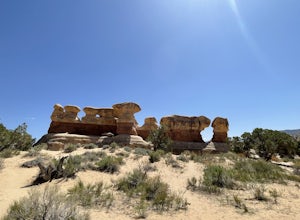
4.4This is a great area that the whole family can enjoy. It is located about 15 miles down the hole-in-the-rock road south of Escalante, Utah. There is a sign marking the turn-off. In the parking lot there is a restroom and a picnic area.You're free to walk among the hoodoos and even on them in some...Read more -
Escalante, Utah
Devils Garden
4.01.01 mi / 131 ft gainDevils Garden is a loop trail that takes you past scenic surroundings located near Escalante, Utah.Read more -
Duck Creek Village, Utah
Explore the Mammoth Cave Lava Tubes
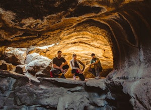
3.00.4 mi / 100 ft gainFrom the USFS website: "Mammoth Cave, at 8050 feet in elevation opens to one of the largest lava tubes in Utah with over 2200 feet of passages. Formed by cooling lava and flowing water, Mammoth Cave is part of the Markagunt Plateau. Geologists believe that some of this lava is only several thous...Read more -
Wayne County, Utah
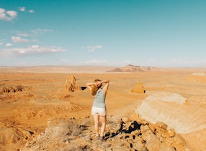
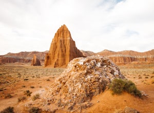
Explore the Temple of the Sun & Moon and Glass Mountain
The temple of the sun and moon are accessed from Cathedral Rd. in Capitol Reef National Park, the road is a 4x4 high clearance vehical road. Upon arriving at the Temples which are called “monoliths”, the giant rocks protrude from the earth, and are something like a fine piece of art. This is a po...Read more

