American Fork, Utah
Top Spots in and near American Fork
-
Sandy, Utah
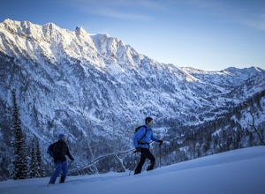
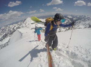
Ski or Snowboard Pink Pine Ridge
Arrive at the White Pine Trailhead early and start up from the main trailhead. Stay on that trail until you hit the river (Most of the time the river is buried, so look for a sign sticking up out of the snow) and the fork to go up to White Pine or Red Pine. Cross the river heading west and contin...Read more -
Sandy, Utah
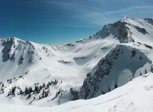
Backcountry Ski White Pine Fork
7 miThe White Pine Trailhead is up Little Cottonwood Canyon on the south side of the road just before you get to Snowbird Ski Resort. The parking lot fills up very quickly so an early start is recommended. The skin track starts in the southwest corner of the parking lot near the bathrooms. You will f...Read more -
Provo, Utah
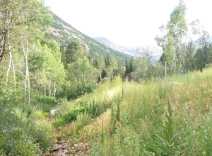
Hike Big Springs Hollow Loop
4.05 mi / 600 ft gainArriving to Big Springs Hollow is relatively easy. Drive up Provo Canyon and turn right onto South Fork Rd at Vivian Park. As you pass Vivian Park, you'll continue for 3 miles on South Fork Rd until you reach Big Springs Park. Continue up to the Upper level parking and the trailhead will be in...Read more -
Sandy, Utah
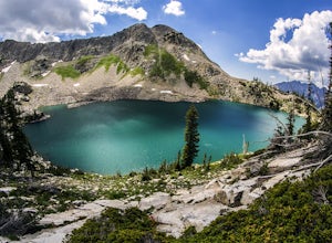
White Pine Lake
4.59.97 mi / 2917 ft gainJust about 5 miles (2-2.5 hrs) from the trailhead, you will find the beautiful White Pine Lake where the water is an intense blue color. It's an amazing place for photos and just hanging out on a summer or fall afternoon. Along the way you will have great views of mountains of all colors, beautif...Read more -
Sandy, Utah
Red Pine Lake Trail
5.06.94 mi / 1995 ft gainRed Pine Lake, located in Red Pine Fork of the Wasatch Mountains, is one of the premier hiking and backpacking destinations in Little Cottonwood Canyon. Red Pine Fork is sandwiched in between White Pine Fork and Maybird Gulch to the east and west, respectively. All three are accessed via the Whit...Read more -
Salt Lake City, Utah
Ski Baldy's Main Chute at Alta Ski Area
5.0Do you like hiking? In ski boots? Good.You start the hike from the gate to Snowbird at the EBT near the top of the Sugarloaf lift. The start of the bootpack is at 10,500 ft of elevation. From there, follow the likely well established boot pack to the top of Baldy. There is one rather steep sectio...Read more -
Sandy, Utah
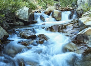
Photograph Little Cottonwood Creek at Snowbird
2.0Little Cottonwood Creek flows right through Snowbird Ski Resort and there are a few beautiful locations to go shoot the river at. The best place to start hiking down the river is right by where the tram takes off. That is just below the Cliff Lodge and right by the Peruvian Lift. There's a res...Read more -
Sandy, Utah
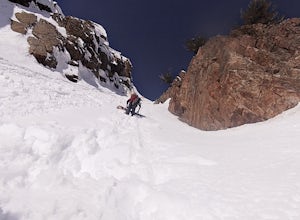
Backcountry Ski Suicide Chute on Mt. Superior
5.00.6 mi / 1245 ft gainFirst of all it's not as scary as it sounds, or as scary as it looks. That being said it's a steep chute in dangerous avalanche terrain so only experienced skiers with backcountry skiing knowledge/equipment should attempt this route.Suicide Chute is located on the South face of Mt. Superior in L...Read more -
Sandy, Utah
Hike and Climb the S. Ridge of Mt. Superior
4.54.5 mi / 1800 ft gainApproach: Start by parking on the side of the road just above the Snowbird Cliff Lodge. Then there will be some bushwhacking as you work your way up the southern slopes of Mount Superior following the path of least resistance until reaching the winter avalanche path under the south face and to th...Read more -
Alta, Utah
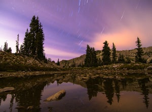
Stargazing and Night Photography at Hellgate Spring
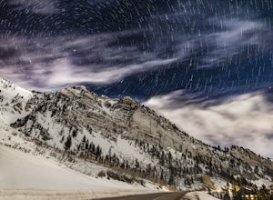
From the base of Little Cottonwood Canyon, follow the road approximately 7 miles until you reach the area between the Snowbird and Alta ski resorts. Looking north, several mountain peaks are visible, including both Mount Superior and Hellgate Spring. The mountain face of Hellgate Spring (GPS coor...Read more -
Cottonwood Heights, Utah
Rock Climbing at Dogwood
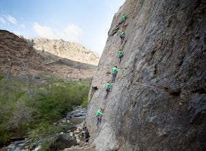
4.4If you can avoid the crowds, Dogwood is an easy crag to get to with a lot of 5.fun climbs and a legendary 5.13a sport climb. From the mouth of Big Cottonwood Canyon, the Dogwood picnic area is 1.1 miles up the canyon. Park on the street to avoid having to pay $8 and walk into the picnic area. Fol...Read more -
Cottonwood Heights, Utah
Fishing Big Cottonwood Creek
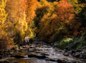
4.0Big Cottonwood Creek is a fun little creek that is often overlooked by the more popular fly-fishing waters of the Provo, Weber, and the Green Rivers of Utah. The fish aren't as big, but make up for it by being less selective with flies and a willingness to go after dry flies any time of the year....Read more -
Cottonwood Heights, Utah
Cycle Big Cottonwood Canyon
5.0Big Cottonwood Canyon (BCC) is one of the longest rideable canyons in the Salt Lake City area, taking you from the base of the canyon to Brighton Ski Resort. Riders have the option to ride any length of the canyon, all of which will be visually rewarding.There are 3 relatively steep sections in B...Read more -
Alta, Utah
Cecret Lake
4.41.78 mi / 509 ft gainCecret Lake is reached by driving up Little Cottonwood Canyon to Albion Basin above Alta Ski Resort. The hike is just under 1 mile to the lake and should take about 30 minutes. The hike goes through fields full of wildflowers and wildlife is abundant. Moose, deer, and various wildlife can be s...Read more -
10230 East Little Cottonwood Lane, Utah
Cross Country Ski Alta Ski Area's Nordic Track
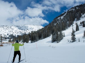
Drive up Little Cottonwood Canyon until the first entrance into Alta. Park in the Collins lift parking lot, throw your boots on, and head over to the nordic track. Its just next to the tow rope that runs through Albion Basin. Now thats left to do is to step into your skis and ski. The track has a...Read more -
Alta, Utah
Hike Mt. Superior and Monte Cristo
5.06.25 mi / 2500 ft gainMt. Superior, and its close neighbor, Monte Cristo, are two of the most iconic peaks in Little Cottonwood Canyon. Looming over Alta and Snowbird Ski resorts from the north side of the canyon, these two peaks dominate the Little Cottonwood skyline. Mt. Superior tops out at 11,132 feet, and Monte C...Read more

