Granger, Texas
Looking for the best hiking in Granger? We've got you covered with the top trails, trips, hiking, backpacking, camping and more around Granger. The detailed guides, photos, and reviews are all submitted by the Outbound community.
Top Hiking Spots in and near Granger
-
Austin, Texas
Hike Main Trail to Meadow Loop to Taylor Creek Loop
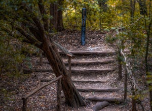
0.6 mi / 55 ft gainThe Main Trail to Meadow Loop to Taylor Creek Loop is a 0.6 loop hike found within Mayfield Park just west of downtown Austin. The trail is completely shaded and is a relatively easy hike. The trail does descend down stairs in some spots, but nothing too significant. This is a great family trail ...Read more -
Austin, Texas
Hike Laguna Gloria Trail
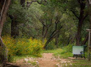
0.4 mi / 9 ft gainThe Laguna Gloria Trail is a 0.4 mile out-and-back hike beginning in Mayfield Park, a popular park located in west Austin. The trail is very short and relatively easy. The trail is made of dirt and is completely shaded. It's a very calming walk and beautiful walk, full of lush greens and dependin...Read more -
Austin, Texas
Hike the Shoal Creek Trail
5.05.47 mi / 173 ft gainThe Shoal Creek trail is located along the Shoal Creek Greenbelt which stretches the length of central/downtown Austin. It is a 5.4 mile out-and-back trail following along Shoal Creek. Much of the trail runs through residential area. And though it runs parallel to a creek, itis a city trail and n...Read more -
Leander, Texas
Hike the Cactus Rocks Trail
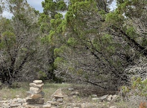
2.01.01 mi / 177 ft gainThe Cactus Rocks Trail is located in Balcones Canyonlands National Wildlife Refuge near Leander, Texas. The trail is a 1 mile loop perfect for kids, hikers, trail runners, and birding expeditions (watch for the golden-cheeked warbler, an endangered species). You will see a variety of naturally oc...Read more -
Austin, United States
Riverplace Nature Trail
4.45.41 mi / 768 ft gainThis is a great trail to get some exercise close to downtown Austin, Texas. The trail at Natural Preserve at River Place is well maintained and has stairs and plenty of elevation gain to make your legs a little wobbly by the time you get back to your car. The trail is a 5.5-mile out-and-back hike...Read more -
Austin, Texas
Walk Through Austin State Capitol
4.03.4 mi / 101 ft gainThe loop is primarily used for hiking and walking and is accessible year-round. Dogs are also able to use this trail but must be kept on leash. This walking tour provides the visitor with many views of Texas History: the beautiful state capitol building, the capitol grounds filled with historic m...Read more -
Leander, Texas
Hike the Vista Knoll Loop
2.00.89 mi / 223 ft gainThe Vista Knoll Loop is a .9 mile hike, accessible year round. Dogs are not allowed on this trail. The trail offers great views of Lake Travis, with good wildlife viewing opportunities.Read more -
Austin, Texas
Turkey Creek Trail
2.72 mi / 259 ft gainTurkey Creek trail is a 2.7 mile out-and-back hike located within Emma Long Metropolitan Park in Northwest Austin, Texas. This trail is perfect for cycling, running, walking, and general exercise. The trail is made of dirt with few inclines. Please note, however, at the beginning of the trail the...Read more -
Austin, Texas
Wild Basin Wilderness Preserve Loop
4.01.8 mi / 262 ft gainWild Basin Wilderness Preserve is managed as part of the Balcones Canyonlands Preserve and consists of 227 acres of beautiful Hill Country woodlands owned jointly by Travis County (164.4 acres) and St. Edwards University (62.6 acres). Wild Basin is open to visitors who can hike the 2.5 miles of t...Read more -
Austin, Texas
Hike along Lady Bird Hike & Bike Trail
10 miThe Hike and Bike Trail around Lady Bird Lake provides great views of the city skyline from several different perspectives. It's perfect for exercising or just taking a stroll on. It's about a 10 mile looping trail however there are several points in which you can cross the river and make the loo...Read more -
Austin, Texas
Catch a Sunrise at the Look Out Point
0.1 miThis look out point is less than a quarter mile hike and is located within the Rollingwood neighborhood, just west of Loop 1 (Mopac Expressway). It faces east and is a great location for catching sunrise. The trail to the overlook is crushed gravel, but is very flat. This overlook is kid- and dog...Read more -
Garfield, Texas
Hike the Southeast Metropolitan Park Primitive Trail
4.02.17 mi / 223 ft gainThe Southeast Metropolitan Park Primitive Trail is a quick 2.3 mile hike, perfect for families, hikers, and trail runners. This trail is dog friendly, and is open for use year round. This hike is lightly trafficked, so this is a great place to go if you are looking for some solitude.Read more -
Barton Creek Greenbelt: Trail 11, Texas
Barton Creek Greenbelt Trail via Spyglass Trailhead
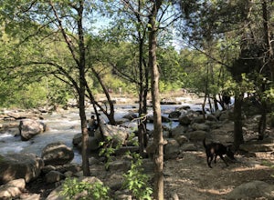
5.03.03 mi / 128 ft gainOutside of the fantastic job market, one of the most magical things about Austin is how quickly you can go from city life to being immersed in nature. Nearly every day, I take a quick jaunt down to the Barton Creek Greenbelt with my trusty companion, Sage the Chocolate Lab. We live within walking...Read more -
Austin, Texas
Sculpture Falls
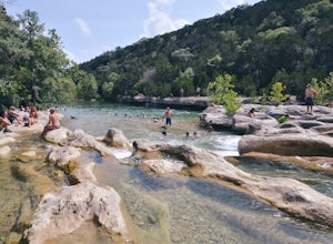
4.12.23 mi / 577 ft gainSculpture Falls is a hidden gem that is part of the 7.9 mile long Barton Creek Greenbelt in Austin. It's considered an urban oasis and is part of the Edwards Aquifer making the water temperatures in the summer about 70 degrees, and is a perfect way to cool off in the Texas heat! To find the trai...Read more -
Austin, Texas
Hike Hill of Life Hiking Trail
4.53.1 mi / 328 ft gainThe Hill of Life hiking trail is an out-and-back hiking trail around 3 miles long total. Parking is parallel parking on the street and can be found in the neighborhood where the trailhead is located. The trail begins with a half mile descent down a very rocky and gravel-ridden trail. The descent ...Read more -
Austin, Texas
Swim at Gus Fruh
4.00.26 mi / 79 ft gainThe trailheads are located in neighborhoods and parking isn't really too much of an issue. The shortest entrance is located off Barton Hills Dr. A quick google search and you will find it and the labeled trail. You walk down into the Barton Creek Green Belt and your spirits are uplifted. That cra...Read more

