Comfort, Texas
Looking for the best camping in Comfort? We've got you covered with the top trails, trips, hiking, backpacking, camping and more around Comfort. The detailed guides, photos, and reviews are all submitted by the Outbound community.
Top Camping Spots in and near Comfort
-
Comfort, Texas
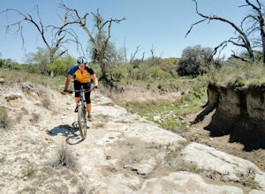
Camp & Mountain Bike at Flat Rock Ranch
5.0About 45 miles northwest of San Antonio is Flat Rock Ranch. The ranch has 1300 rugged acres that have been in the same family for over 100 years. They raise Black Angus cattle and Angora goats, in addition to building a 27 mile, single track trail system with a few double track trails as well. Th...Read more -
Boerne, Texas
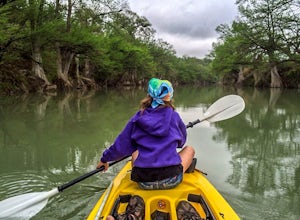
Paddle the Guadalupe River at Sisterdale
5.0Take the short drive up to the friendly little town of Sisterdale to find the General Store. Here you can safely leave your vehicle, rent kayaks and arrange shuttles for your trip of choice. There are plenty of different stretches of river to fit any adventure from short day floats to multi-day k...Read more -
Boerne, Texas
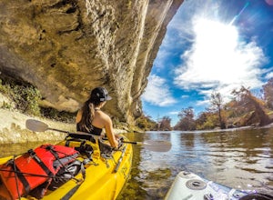
Paddle Guadalupe River at Berghiem
5.0Drive up to Bergheim Campgrounds located at 103 White Water Rd Boerne, TX 78006 for a safe place to park your vehicles. From Here you can rent kayaks, canoes or bring your own and can even arrange a drop-off or pick-up shuttle.A short 3-mile paddle to Edge Falls road is a great afternoon adventu...Read more -
Bandera, Texas
Hike the Medina Loop
5 mi / 1800 ft gainThe Photos as seen above are from the Medina Loop hike. I'll preface by saying that this isn't the hike I went to the park for, yet I'm incredibly satisfied with the experience. The Medina loop had everything you'd want in a hike. Mixed terrains, wildlife to watch, and glimpses of expansive v...Read more -
Llano, Texas
Primitive Camp at Moss Lake
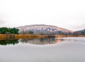
3.3 mi / 300 ft gainEnchanted Rock is one of the most popular destinations in Texas, but if you want to enhance your experience at this treasured site, I suggested primitive camping at Moss Lake. The majority of the campsites are drive-up or walk-in and become overcrowded, especially on the weekends. Moss Lake is th...Read more -
Vanderpool, Texas
Hike the East Trail at Lost Maples
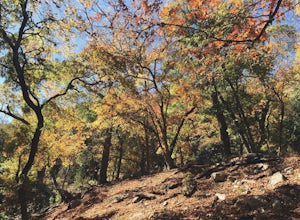
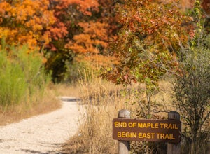
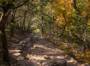
5.04.52 mi / 561 ft gainLost Maples State Natural Area is the go to place if you want to escape to New England-like Fall scenery in Texas, which is hard to believe for some. Tucked away deep in Hill Country near Vanderpool, TX, Lost Maples has a unique supply of Maple trees thanks to the deepness of the canyons found in...Read more -
Vanderpool, Texas
Hike Lost Maples East And West Canyon
5.011.3 mi / 1 ft gainThe Lost Maples East and West Canyon trail is an 11.30 mile out-and-back hike located in Lost Maples State Park, right outside of Vanderpool, Texas. The trail provides scenic overlooks, beautiful maple trees, and an abundance of nature. The trail, along with the park, is most known for its beauti...Read more -
Vanderpool, Texas
Hike the Lost Maples Extra Loop Trail
7.1 mi / 930 ft gainThe Lost Maples Extra Loop Trail is 7.1 loop hike that loops around the majority of the park. It is highly trafficked and offers stunning views of the Texas Hill Country landscape. Please be advised that there are several challenging inclines and steep portions of the trail, so hiking shoes and p...Read more -
Vanderpool, Texas
Hike the Lost Maples West Trail Loop
4.07 mi / 849 ft gainThe Lost Maples West Trail Loop is a 7 mile loop hike that loops around the west portion of Lost Maples State Park. This trail is mostly shaded and offers gorgeous views and scenic overlooks. There are areas for swimming, if desired. Please be advised that there are steep areas and challenging in...Read more -
Vanderpool, Texas
Primitive Camp at Lost Maples State Natural Area
4.02.5 mi / 849 ft gainStart at the day use overflow parking lot, there is a picnic area and a paved road will lead you to the trailhead for the East and West Trail Loops. Continue along, following the signs to the West Trail Loop. You'll come across little river crossings, but much of the trail is rocky with a nice g...Read more -
Johnson City, Texas
Hike Juniper Spring Via Wolf Mountain And Juniper Ridge
8.4 mi / 462 ft gainJuniper Spring via Wolf Mountain and Juniper Ridge is a 8.4 mile loop hike within Pedernales Falls State Park, right outside of Johnson City, Texas. This trail is moderately trafficked. The trail is pretty wide and great for all sorts of exercising and social distancing. The trail is relatively ...Read more -
Johnson City, Texas
Hike the Wolf Mountain Trail
7.4 mi / 416 ft gainThe Wolf Mountain Trail is a 7.2 mile loop hike within Pedernales Falls State Park, right outside of Johnson City, Texas. The trail is pretty wide and great for all sorts of exercising and social distancing. The trail is relatively moderate and well maintained. There is little shade but it is st...Read more -
Utopia, Texas
Camp out at Four Sisters Ranch Cabin
4.0If you're looking for a beautiful secluded cabin to camp in the Texas Hill Country make sure to check out Four Sisters Ranch Cabin. Located near Vanderpool and Utopia, this cabin is the perfect place for a weekend getaway. The landowners are gracious hosts that bake banana nut bread for you and d...Read more

