Cleburne, Texas
Looking for the best hiking in Cleburne? We've got you covered with the top trails, trips, hiking, backpacking, camping and more around Cleburne. The detailed guides, photos, and reviews are all submitted by the Outbound community.
Top Hiking Spots in and near Cleburne
-
Cleburne, Texas
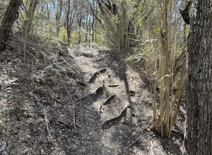
White Tail Hollow Trail
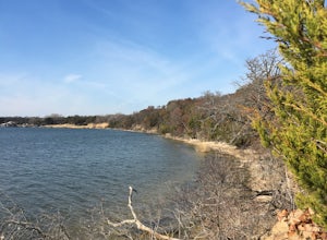
4.01.65 mi / 230 ft gainWhite-tail Hollow Trail is a 1.6 mile loop hike that takes you by a lake located near Cleburne, TX.Read more -
Glen Rose, Texas
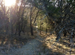
Camp at Dinosaur Valley State Park
4.03 miStarting at the Cedar Brake Outer Loop trailhead, leave your car and toss your pack on your back. You'll walk along some pretty single track-style paths and depending on what season you've chosen, you might be treated to some lovely Texas wildflowers. You'll come to a river crossing and get to co...Read more -
Glen Rose, Texas
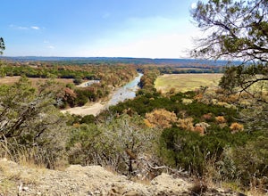
Equestrian Blue Hole And Limestone Ledge Loop
5.03.03 mi / 302 ft gainEquestrian, Blue Hole and Limestone Ledge Loop is a 3 mile loop hike that takes you by a river located near Glen Rose, TX. This is a 111 foot elevation, loop style hike that is great for all skill and experience level hikers. Some parts of the hike are paved while other parts are dirt- at times t...Read more -
Glen Rose, Texas
Blue Hole Trail
5.01.15 mi / 223 ft gainDinosaur Valley is located in the small town of Glen Rose about an hour and a half Southwest of Dallas. While the main purpose of the park is the continual preservation of dinosaur tracks that were fossilized at the edge of an ancient ocean millions of years ago, there are also tons of activities...Read more -
Glen Rose, Texas
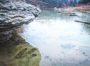
Paluxy River Trail
5.03.89 mi / 502 ft gainPaluxy River Trail is an out-and-back hike that follows along the Paluxy River in Dinosaur Valley State Park located near Glen Rose, TX. This trail is relatively flat, making for a good hike for the family especially since it's an out-and-back and you can turnaround early if needed. This trail ...Read more -
Fort Worth, Texas
Hike the Dam Drop Loop
4.02.5 mi / 223 ft gainStarting at the parking lot at the top of the hill there are great views of the lake. As you descend on the criss-crossing trails, be careful of crumbling rocks. At the bottom of the park which borders the river just below the dam, you will find waterfalls and a pool.Trails are not well marked, s...Read more -
Dallas, Texas
Cattail Pond Loop
5.02.52 mi / 325 ft gainCattail Pond Loop is a 2.5 mile loop trail with its turning point at Cattail Pond. The trail can also be done starting on the Escarpment Trail (starting from the same parking lot) if you're looking to add some variety. Cattail Pond Loop is located near Cedar Hill, TX. Cedar Ridge Preserve may ha...Read more -
Dallas, Texas
Kiest Park Trail
5.02.05 mi / 115 ft gainKiest Park Trail is a 2 mile loop that's great for stretching your legs and is dog-friendly. Kiest Park is located near Dallas, TX with parking off of Kiest Circle.Read more -
Euless, Texas
Little Bear Creek Trail
4.55 mi / 85 ft gainLittle Bear Creek Trail is an approximately 5 mile loop located near Euless, TX. This hike includes views of Little Bear Creek as well as the ponds in McCormick Park once you cross over Fuller-Wiser Rd. This trail is both kid and dog friendly.Read more -
Fort Worth, Texas
Hike Eagle Mountain Park
4.310 mi / 285 ft gainLocated just north of Fort Worth, Eagle Mountain Park offers about ten miles of trails (roundtrip, two different loops) with great views of the beautiful Eagle Mountain Lake, and serene walks through cross timber forest. There are two main loops. The northern loop is about 3.5 miles round trip. T...Read more -
Dallas, Texas
Katy Trail
3.77.16 mi / 138 ft gainThe Katy Trail cuts through the busy downtown Dallas area and offers the perfect way to get away for a lunch break or afternoon walk. The trail runs from Mockingbird to Houston St and can be traveled in both directions. The best place for parking is at the North end off of Travis and Knox St wher...Read more -
Mineral Wells, Texas
Penitentiary Hollow via Red Waterfront Trail
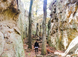
4.91.44 mi / 249 ft gainLake Mineral Wells is one of the closest state parks in the area located less than an hour and a half from Dallas and only 45 minutes from Fort Worth. It sits in the heart of cattle country and offers several outdoor adventures. The trail starts from the Eastern parking lot and heads straight to...Read more -
Mineral Wells, Texas
Rock Climb at Lake Mineral Wells State Park
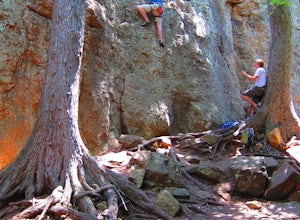
Lake Mineral Wells State Park is located about an hour West of the Dallas/Ft. Worth Metroplex. Highway driving gets you all the way to the park's entrance just minutes before entering the town of Mineral Wells. Entrance Fee and Climber Registration is required at the guard shack. Climbing topo...Read more

