Burnet, Texas
Top Spots in and near Burnet
-
Burnet, Texas
Camp at Inks Lake's Pecan Flats
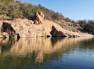
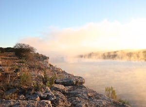
5.02 miInks Lake is located northwest of Austin and is home to about 200 campsites. For a more unique experience and to be set away from the parks many visitors, choose the Pecan Flats Trail Primitive Camp which is about a mile hike from the Pecan Flats trailhead.Once you enter the park, the Pecan Flats...Read more -
Burnet, Texas
Hike the Inks Lake State Park Trail
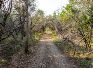
4.04.7 mi / 347 ft gainThe Inks Lake State Park Trail is a 4.7 mile loop trail located within Inks Lake State Park, just outside of Burnet, Texas. Only a small portion of the trail follows the lake, then it veers off through the rocky and hilly terrain of the Texas Hill Country. The trail is only partially shaded at ti...Read more -
Burnet, Texas
Tour the Longhorn Caverns
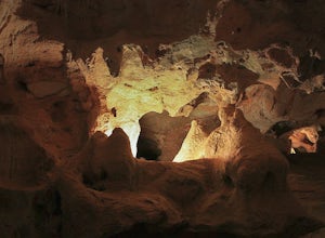
5.01.1 miThe Longhorn Cavern State Park is a hidden gem in the Hill Country. The caverns are breathtaking and some of the walls are completely covered in Quartz. During prohibition, bootleggers used the caverns as a speakeasy and there are remnants left from that era. In order to view the Caverns you must...Read more -
Marble Falls, Texas
Camp at Shaffer Bend Recreation Area
6 mi / 80 ft gainAfter turning off Highway 1431 you'll drive through a little quiet and narrow one road neighborhood to arrive at the entrance to Shaffer Bend Recreation Area. From there you will drive down a dirt road which will take you almost all the way through Shaffer Bend's 523 acre lot, and lead you direct...Read more -
Spicewood, Texas
Explore Krause Springs
4.0Spend the day swimming and exploring or stay the night and see everything this privately owned park has to offer! From the spring fed concrete pool, to natural spring fed swimming hole, waterfall, butterfly gardens and more! Bring your tent or even your RV! They take reservations for RV hookups o...Read more -
Spicewood, Texas
Hike through Muleshoe Bend Recreation Area
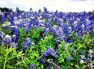
5.05.4 mi / 365 ft gainSpend all day wandering the endless fields of bluebonnets above the banks of the Colorado River in this hill country oasis. MuleshoeBend Recreation Area is just 50 minutes outside of Austin in Spicewood, TX. It has 540 acres of trails, camping, and picnic tables. The highlight of this park is the...Read more -
Marble Falls, Texas
Balcones Canyonlands Sunset Deck
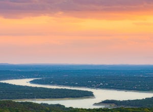
The Sunset deck at Balcones Canyonlands is an amazing family- and pet-friendly spot. Parking is only about 100 feet from the overlook and is easily accessible for any and everyone. The overlook is absolutely serene and great for a picnic. There is also a small beginner trail ("Ridgeline Trail") n...Read more -
Bend, Texas
Hike to Spicewood Springs via Spicewood Canyon Trail
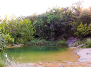
5.03.81 mi / 367 ft gainSpicewood Spring is a spring-fed swimming hole in Colorado Bend State Park and can be reached in one of two ways. There is an out and back trail that will take about 3.6 miles round trip if you just want to swim, but I prefer turning it into a scenic hike that takes you through Spicewood Canyon a...Read more -
Leander, Texas
Hike the Vista Knoll Loop
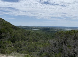
2.00.89 mi / 223 ft gainThe Vista Knoll Loop is a .9 mile hike, accessible year round. Dogs are not allowed on this trail. The trail offers great views of Lake Travis, with good wildlife viewing opportunities.Read more -
Leander, Texas
Hike the Cactus Rocks Trail
2.01.01 mi / 177 ft gainThe Cactus Rocks Trail is located in Balcones Canyonlands National Wildlife Refuge near Leander, Texas. The trail is a 1 mile loop perfect for kids, hikers, trail runners, and birding expeditions (watch for the golden-cheeked warbler, an endangered species). You will see a variety of naturally oc...Read more -
Leander, Texas
Explore Dinosaur Tracks in Leander
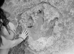
4.11 miAbout a half mile west from the Hwy 183 bridge that crosses the South Fork of the San Gabriel River lies approximately 12 dinosaur footprints embedded in the river bed. Not many people know about the dinosaur tracks just northwest of Austin in Leander, Texas. This is not a marked trail, there ar...Read more -
Liberty Hill, Texas
Hike the Good Water Trail
5.012.6 mi / 1270 ft gainThe Good Water Trail which is part of the larger Good Water Loop, is a 12.6 mile point-to-point hike. This trail is heavily trafficked by both hikers and mountain bikers alike. It's a great trail for scenic views, nature, and wildlife. Please be advised that the trail is severely rocky and uneven...Read more -
Spicewood, Texas
Camp at Pace Bend Park
4.4Pace Bend is a favorite camping and day use destination near Austin, Texas. The park is approximately 45 minutes West of Austin located off of Hwy 71 and offers visitors a wide range of recreational activities. There is an entrance fee of $10 per vehicle for Day Use only and $15 per vehicle for p...Read more -
Spicewood, Texas
Climb at Pace Bend Park
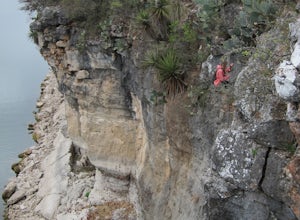
The "must have" campsite is along Marshall Cove in Pace Bend Park. From the park's entrance head straight along the road and take the 3rd left onto the Marshall Cove turnout. The sites are not numbered, but locating the site is pretty easy--it's on the left-hand side of the the road along the edg...Read more -
Lometa, Texas
Gorman Falls
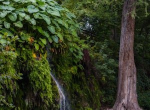
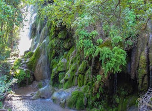
4.03.23 mi / 427 ft gainGorman Falls is truly a gem of the Texas Hill Country. This waterfall is situated in Colorado Bend State Park, one of the most diverse state parks in the area, and is what is considered a "living" waterfall. While most waterfalls will get smaller over time, Gorman Falls gets bigger. This is due t...Read more -
Llano, Texas
Catch a Sunset at Badu Park
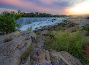
Located in the small but fun town of Llano, Texas, Badu Park is a great location for catching a sunset, fishing, picnicking, or just plain chilling. This location is located about an hour and a half west of Austin, Texas (75 miles) but is well worth the drive for a day trip! The dam is a popular...Read more
Top Activities
Camping and Lodging in Burnet
Liberty Hill, Texas
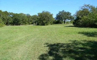
Tejas Park
Overview
Tejas Park sits on the south side of Georgetown Lake in the Hill Country of Texas, about 25 miles north of Austin. Tejas park ...
Leander, Texas
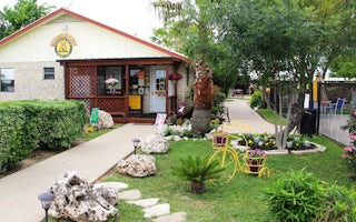
Leander / NW Austin KOA Holiday
This award-winning campground is located just north of Austin on the edge of Texas Hill Country, near trails, beautiful lakes and wildlif...
Georgetown, Texas
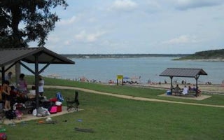
Russell Park
Overview
Russell Park is located on the west side of Georgetown Lake, in the Texas Hill Country approximately 25 miles north of Austin. V...
Georgetown, Texas
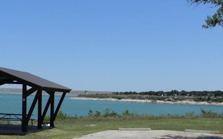
Jim Hogg Park
Overview
Jim Hogg Park sits on the north side of Georgetown Lake in the Hill Country of Texas, about 25 miles north of Austin. Recreation...
Georgetown, Texas
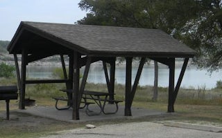
Cedar Breaks Park
Overview
Cedar Breaks Park sits on the south side of Georgetown Lake in the Hill Country of Texas, about 25 miles north of Austin. Recrea...
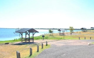
Salado, Texas
Union Grove
Overview
Union Grove Park is located on the southwestern shore of Stillhouse Hollow Lake in central Texas. The lake offers a wide variety...

