Maryville, Tennessee
Looking for the best photography in Maryville? We've got you covered with the top trails, trips, hiking, backpacking, camping and more around Maryville. The detailed guides, photos, and reviews are all submitted by the Outbound community.
Top Photography Spots in and near Maryville
-
Newport, North Carolina
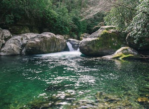
Hike to Mouse Creek Falls
5.04.2 mi / 605 ft gainFollow Big Creek Trail on a moderate climb to this 45-foot waterfall. Around 1.3 miles in, you will begin to hike alongside Big Creek, and shortly afterwards you will pass Midnight Hole, a particularly deep pool. There are a number of other small falls en route. In spring you should see a number ...Read more -
Lancing, Tennessee
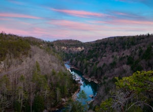
Camp at OBED Wild and Scenic River Area via the Point Trail
4 miYou will want to park at the Lilly Bluff parking lot. Your GPS won't know where this is, so here are the GPS coordinates N36° 06.162', W84° 43.280'.The trailhead is located on the North side of the parking lot. All you need to do is follow the sign for Point Trail. The trail culminates at an e...Read more -
Lancing, Tennessee
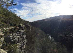
Take in the View at Lilly Bluff Overlook
5.00.6 mi / 0 ft gainHonestly this is hard to even call a trail, but that doesn't mean it lacks beauty. Once you take the right or left of off ridge Ridge Road make sure to go past the first parking lot and into the second larger parking lot. The trail starts near the front of the parking lot on the right side of the...Read more -
Murphy, North Carolina
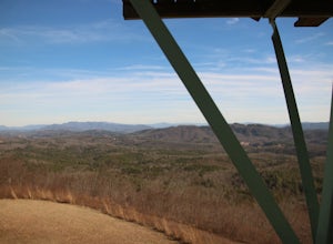
Hike to Panther Top Fire Tower
1.5 mi / 450 ft gainThe Panther Top fire tower is located in the Nantahala National Forest outside of Murphy, NC. To get there you get off of US 74 then turn onto panther top rd and continue till you see the signs for the tower. Once you get there the hike is about .75 there mostly up on the way to the top of the to...Read more -
Maggie Valley, North Carolina
Soco Falls
5.00.09 mi / 0 ft gainThis double waterfall is located a mile and half off of the Blue Ridge Parkway in the Cherokee Indian Reservation. From the parking area, it's a short walk down a well-established trail to the viewing area of the falls. For an even closer view of the falls, you can follow a roped, steep path dow...Read more -
Grandview, Tennessee
Hike to Piney Falls
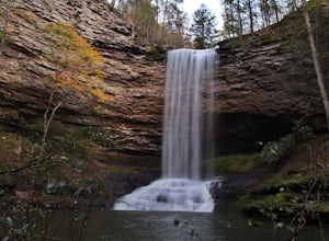
5.01.5 mi / 500 ft gainThe gravel road heading to the trailhead is on the rougher side to take it slow. When you get to the trailhead it’s a small gravel pull off right off the road. There are no maps at the trailhead but there are only a few trails to take and they are marked with a blue marker. To get to the upper fa...Read more

