Maryville, Tennessee
Looking for the best photography in Maryville? We've got you covered with the top trails, trips, hiking, backpacking, camping and more around Maryville. The detailed guides, photos, and reviews are all submitted by the Outbound community.
Top Photography Spots in and near Maryville
-
Wartburg, Tennessee
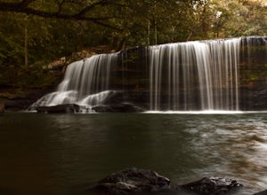
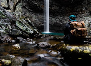
Potter's Falls
0.1 mi / 50 ft gainPotter's Falls is a semi locally known area that is used for lots of different activities. To get there the roads are pretty simple and easy to follow the directions. The parking can be a bit tricky especially if its during the summer or extreme cold in the winter. There are only about 15 spots o...Read more -
Cherokee, North Carolina
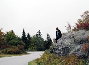
Drive the Blue Ridge Parkway from the Southern Terminus
5.0The pinpoint for this particular entrance starts just outside of Cherokee, North Carolina, following the Parkway North. They say the Blue Ridge Parkway is more than just a road, it's a beautiful journey. Start this journey and you will quickly find this to be true. This 469 mile gateway connects...Read more -
Caryville, Tennessee
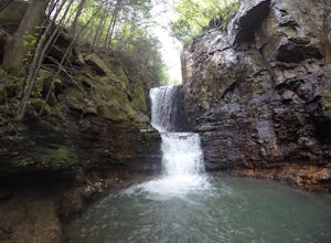
Triple Falls AKA Little Egypt
4.01.95 mi / 682 ft gainTriple falls trail otherwise known as little egypt is known for its cooling waterfalls in the summer and fall and the beautiful views from the top of the mountain year round. Getting to it is pretty easy all you have to do is follow your GPS until you see a small dirt parking lot off the side of ...Read more -
Cherokee, North Carolina
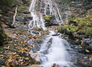
Mingo Falls
4.20.22 mi / 148 ft gainAlthough it is not much of a hike at just 0.3 miles, it is accessible to people of all fitness levels. A climb up a series of stairs leads you to a trail overlooking Mingo creek. You will then find a 20 foot wide bridge which serves as the viewing platform of the falls. If you care to advent...Read more -
Cosby, Tennessee
Hike to the Mount Cammerer Lookout Tower
4.510.99 mi / 3040 ft gainMost visitors have a vision of how they'd like to see Great Smoky Mountains National Park, and it typically involves climbing to the top of a mountain like 4,928-foot Mount Cammerer. This is a very strenuous hike involving a breathtaking amount of elevation gain along the rugged Low Gap and Appal...Read more -
Bryson City, North Carolina
Hike to Alarka Falls
5.01 mi / 100 ft gainTo visit the falls, take US-74 west from Bryson City to exit 64 . Take a left at the exit and drive on Alarka Road for about 10 miles. Follow the road all the way to the end where you will find a turnaround. Don't make the mistake of following the forest service road (it is gated), as it is not ...Read more -
Bureau of Indian Affairs Highway 506, North Carolina
Barrett Knob Fire Tower
5.01.21 mi / 400 ft gainYour hike will start at the base of the Blue Ridge Parkway just a few miles from the start in Cherokee. The trail starts right off of the parkway in a very small easy to miss dirt road. There is a small area to park that then you start your hike up the dirt road right after the gate. The hike to ...Read more -
Franklin, North Carolina
Photograph Wayah Bald Lookout Tower
0.1 mi / 0 ft gainThe Wayah Bald Lookout Tower is located in Nantahala National Forest in one of the oldest part of the protected land. It was first built in the 1920s then it was rebuilt throughout the years until it was finally made out of stone and concrete. The current tower that stands offers great views of t...Read more -
Sylva, North Carolina
Hike to Cowee Bald Fire Tower
4.4 mi / 400 ft gainThe Cowee Bald Fire Tower is located in the Nantahala National Forest near Bryson City North Carolina. To get there you can either drive almost all the way to the top about .2 miles from the top but to get there you will need to have a 4WD or a higher clearance vehicle to cross a small stream. Ho...Read more -
Hartford, Tennessee
Whitewater Rafting the Pigeon River
5.0The Pigeon River is a dam controlled river that winds its way through North Carolina and Eastern Tennessee just outside Great Smoky Mountains National Park. The river provides beautiful views as one paddles along via raft or kayak. Cutting through portions of the Pisgah and Cherokee National For...Read more -
Newport, Tennessee
Explore Halls Top Fire Tower
4.01 mi / 200 ft gainHalls Top Fire Tower is a special untouched spot in the Cherokee National Forest. The road that leads you into the CNF is known as Halls Top Road just a few miles off of Interstate I-40. This road will take you 4.4 miles to the next turn onto Stone Mountain Road this road is 2.1 miles to the gat...Read more -
Franklin, North Carolina
Siler Bald from Wayah Gap
5.03.66 mi / 1060 ft gainThe Appalachian Trail does not need a lot of hype beyond its existing legendary status. However, there are certain parts of it that do stand out as being a little extra special. Siler Bald is one of those spots. A large clearing starting from Snowbird Gap and going all the way up to Siler Bald...Read more -
Maggie Valley, United States
Hemphill Bald
Hemphill Bald is a quintessential Smoky Mountains vantage point and this moderate loop trail leading to it takes you through beautiful forest and rolling hills. This area is incredible in all seasons - wildflowers in the spring, colorful leaves in the fall, and with bare trees in the winter, the ...Read more -
Rockwood, Tennessee
Ozone Falls
4.20.35 mi / 43 ft gainThis beautiful, 110-foot waterfall is an easy 15-minute walk from the parking area. Note that the walk down to the falls, although short, is steep and there isn’t a well-marked trail down. It’s more about choosing the path of least resistance. Also, it can get quite busy in the summer time espec...Read more -
Unnamed Road, Tennessee
Hike to Hatfield Knob Elk Viewing Tower
1 mi / 200 ft gainHIGHLY RECOMMENDED TO HAVE A 4WD VEHICLE OR ALL WHEEL DRIVE. The road to the trail-head can be very dangerous at times because of mud and debris, because of this an all wheel drive at least is very useful if you only have a 2WD car or truck I suggest only going in dry conditions. When you get t...Read more -
Lancing, Tennessee
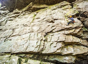
Climb The Lilly Bluff Wall
The Obed Wild and Scenic River is typically not found in the same conversations as Zion or Yosemite, but be assured this hidden gem of Tennessee is one of the East Coast's must climb destinations.There are a number of climbing areas within the Obed worth exploring, ranging from bouldering to mul...Read more

