Maryville, Tennessee
Looking for the best photography in Maryville? We've got you covered with the top trails, trips, hiking, backpacking, camping and more around Maryville. The detailed guides, photos, and reviews are all submitted by the Outbound community.
Top Photography Spots in and near Maryville
-
Knoxville, Tennessee
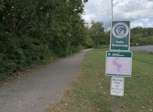
Bike or Run the Halls Greenway
2 miThis place is located right in the middle of Halls Crossroads. There are multiple access points along the Greenway. There is the Halls Community Center which is where the GPS of this adventure will lead you or there is a small parking area next to the Halls Food City. There are other entrances fr...Read more -
Sevier County, Tennessee
Little River Trail to Backcountry Campsite #30
5.012.34 mi / 412 ft gainThe trailhead parking area is large but if no spaces are available additional parking can be had at the Jake's Creek trailhead at the top of the hill and to the right of the Little River trail parking lot. After parking, the trailhead itself will be to the left of the parking area. Parking Lot Co...Read more -
Gatlinburg, Tennessee
Hike the Cucumber Gap and Little River Loop
4.05.5 mi / 800 ft gainThis loop offers a scenic 2.5 mile hike next to the river before looping back around via the Cucumber Gap Trail. At the tail end, you'll connect with the Jakes Creek Trail for about 0.7 miles to return you back to the parking lot. Many people hike this trial clockwise, but if it's a hot day, it...Read more -
Fontana Dam, North Carolina
Shuckstack Fire Tower
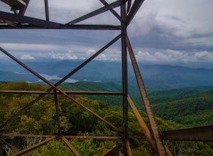
5.08.84 mi / 2605 ft gainYour Shuckstack adventure starts at the Fontana Dam outside of Bryson City, NC. As the highest dam East of the Rocky Mountains, it's a sight on its own. This will be your last chance to fill up water bottles and use the restroom so take advantage. You can leave on foot from the dam and continue ...Read more -
Robbinsville, North Carolina
Hike the Big Fat Gap Trail
12 mi / 3000 ft gainThere are many trailheads leading into the wilderness on either the Tennessee or North Carolina side. My favorite is the Big Fat Gap trail on the North Carolina side at an elevation of 3,060'. To see the best of what this area has to offer take the Hangover Lead South Trail to the 5,180' Hangover...Read more -
Vonore, Tennessee
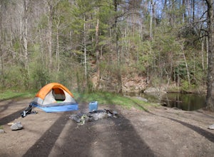
Camp at Citico Creek
5.0There are a few options for getting to Citico Creek, you can either go up the windy gravel road from US 411 or get off of the Cherohala Skyway and go down the mountain past the Indian Boundary campground. The Citico Creek campground has about 5 or 6 spots but is rarely full because it is very sec...Read more -
Oak Ridge, Tennessee
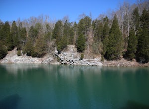
Hike to North Boundary Quarry
5.01 mi / 100 ft gainThe parking at the trailhead is right off of the Oak Ridge turnpike so its very easy to park and there are plenty of spots to park. The trail is very wide and is a great place for taking kids and riding your bike. There are more than one trail that you can take to get to the quarry from the trail...Read more -
Robbinsville, North Carolina
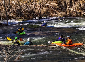
Paddle The Cheoah River
5.0The Cheoah River is a dam controlled section of whitewater that has become one of the "bucket runs" for Western, North Carolina. Located near Robbinsville, NC, the Cheoah is a non-stop class IV+ classic of constant gradient that delivers a Southeastern whitewater experience like no other. There ...Read more -
Joyce Kilmer-Slickrock Wilderness, North Carolina
Backpack Slickrock Creek Trail #42
30 mi / 3700 ft gain8:30 a.m. and we’re winding our way down Highway 129 near Robbinsville, NC. The fog is still thick over the Little Tennessee River as we slow down crossing the bridge into Graham County. “I think we missed it,” I say as we continue onward. Within minutes the Tapoco Lodge comes into view. My pre-h...Read more -
Robbinsville, North Carolina
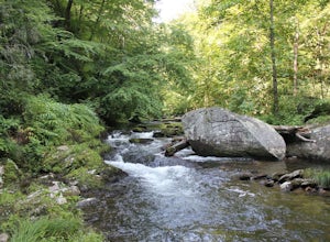
Hike Joyce Kilmer Memorial Forest Loop
5.02 miThe beauty of this trail starts at the parking lot. Before you start the trail, you will find a picnic table near the parking lot and go down to the edge of the rolling stream. Its a great spot to hear the stream and take some pictures. If you are feeling adventurous you can try to hop from rock ...Read more -
35.675929,-83.485764
Roaring Fork Motor Nature Trail
5.05.83 miThis 6 mile drive is a great way to spend a scenic day in the Smokies. The road is open to cars only (no trucks or RVs) and runs one-way. There are no visitors centers after you head out, so be sure to bring everything you need along. The drive begins at the historic Ogle farmstead, which is als...Read more -
Gatlinburg, Tennessee
Mount LeConte-Cliff Tops via Rainbow Falls Trail
4.513.37 mi / 3993 ft gainBegin at the Rainbow Falls trail parking lot. This is very popular area especially in the summer. If the parking area at the trail head is full there is additional parking located just past the main lot. From here the Rainbow Falls trail is just under 14 miles to the summit of Mount Leconte. Elev...Read more -
Tellico Plains, Tennessee
Hike to Falls Branch Falls
5.02.6 mi / 540 ft gainTo get to the trailhead, drive 22.5 miles on the Cherohala Skyway from Tellico Plains, Tennessee. If you are coming from the North Carolina side, drive 20.5 miles to the trailhead. The trailhead parking area is marked by a large green sign saying West Rattlesnake and is surrounded by a low stone ...Read more -
Gatlinburg, Tennessee
Grotto Falls Trail
5.01.83 mi / 585 ft gainThis is an intermediate hike along Trillium Gap Trail. There are four stream crossings on your way to the falls as you hike through an idyll, often wildflower-sprinkled landscape. Late spring is best for catching blooms. Once at the waterfall, you can walk behind the cascade of water. This is a ...Read more -
Gatlinburg, Tennessee
Hike the Chimney Tops
4.94.03 mi / 1487 ft gainThe Chimney Tops Trail is one of the most visited trails in the Smokies, which is why I recommend going up just before sunset to beat the crowd! During the summer and fall months, it's common to see a hundred people taking in the views on the same trail, but if you scramble on out after hours, y...Read more -
Bryson City, North Carolina
Clingmans Dome
4.41.23 miThe drive to Clingmans Dome is miles of scenic overlooks that provide endless views of ridges and valleys. Clingmans Dome Road comes to a parking lot from which you follow a .5 mile paved trail to the summit. There are also several trails that start on Clingmans Dome Road. Most notably The Appal...Read more

