Caryville, Tennessee
Looking for the best photography in Caryville? We've got you covered with the top trails, trips, hiking, backpacking, camping and more around Caryville. The detailed guides, photos, and reviews are all submitted by the Outbound community.
Top Photography Spots in and near Caryville
-
Caryville, Tennessee
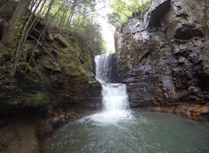
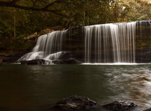
Triple Falls AKA Little Egypt
4.01.95 mi / 682 ft gainTriple falls trail otherwise known as little egypt is known for its cooling waterfalls in the summer and fall and the beautiful views from the top of the mountain year round. Getting to it is pretty easy all you have to do is follow your GPS until you see a small dirt parking lot off the side of ...Read more -
Unnamed Road, Tennessee
Hike to Hatfield Knob Elk Viewing Tower
1 mi / 200 ft gainHIGHLY RECOMMENDED TO HAVE A 4WD VEHICLE OR ALL WHEEL DRIVE. The road to the trail-head can be very dangerous at times because of mud and debris, because of this an all wheel drive at least is very useful if you only have a 2WD car or truck I suggest only going in dry conditions. When you get t...Read more -
Knoxville, Tennessee
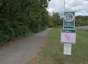
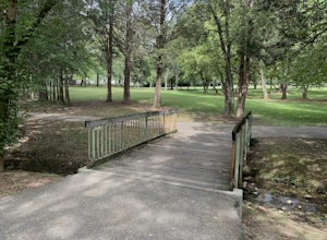
Bike or Run the Halls Greenway
2 miThis place is located right in the middle of Halls Crossroads. There are multiple access points along the Greenway. There is the Halls Community Center which is where the GPS of this adventure will lead you or there is a small parking area next to the Halls Food City. There are other entrances fr...Read more -
Oak Ridge, Tennessee
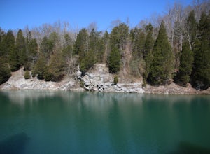
Hike to North Boundary Quarry
5.01 mi / 100 ft gainThe parking at the trailhead is right off of the Oak Ridge turnpike so its very easy to park and there are plenty of spots to park. The trail is very wide and is a great place for taking kids and riding your bike. There are more than one trail that you can take to get to the quarry from the trail...Read more -
Maynardville, Tennessee
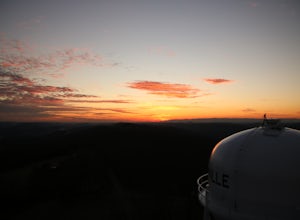
Photograph the Maynardville Fire Tower
3.5The maynardville fire tower is one that anyone can go too since you can drive straight to the base of it. From the base however there are about 100 steep stairs to the top. On the way up you will need to be extra careful because it is very old and was never built for safety. When you get to the t...Read more -
Wartburg, Tennessee
Potter's Falls
0.1 mi / 50 ft gainPotter's Falls is a semi locally known area that is used for lots of different activities. To get there the roads are pretty simple and easy to follow the directions. The parking can be a bit tricky especially if its during the summer or extreme cold in the winter. There are only about 15 spots o...Read more -
Knoxville, Tennessee
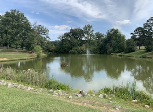
Adair Park
1.5 miThis Urban park is located in North Knoxville. The park is only a few minutes from downtown Knoxville. This park is small but offers a nice wilderness in the city. There is a lot of wildlife at this park. The park has many hiking/biking trails through the park. In total there is 1.5 miles of gree...Read more -
Knoxville, Tennessee
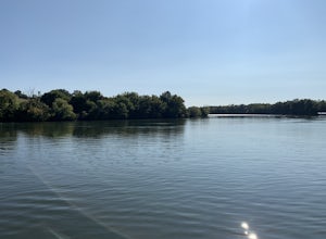
Victor Ashe Park
2.5 miThis park is located just 10 minutes from downtown Knoxville. The parking here is massive and has near 100 parking spots spread out over the park. The park offers many activities and amazing views. The main attraction of the park is the greenway and the disc golf course. The greenway runs all the...Read more -
Oneida, Tennessee
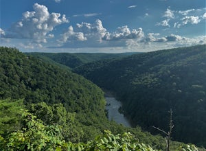
Short hike to East Rim Overlook
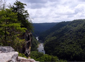
0.2 mi / 50 ft gainThis trail is located in Big South Fork National Recreation Area. This is more of a walk than a hike. The entire trail is paved except for the wooden boardwalk overlook at the end. The overlook shows the gorgeous views of the river valley and some of the rock formations in the area. The trail is ...Read more -
Oneida, Tennessee
Backpack to Angel Falls Overlook in the Big South Fork
4.06.4 mi / 800 ft gainStarting at a very small parking space, you head onto a fairly overgrown trail for half a mile. The trail then begins to thin out and is not as overgrown. Keeping a steady incline, you almost instantly feel the burn in your calves. At around 2 miles in, there is a single grave from a baby that l...Read more -
Knoxville, Tennessee
Fort Dickerson Quarry Park
This is an amazing gem in south Knoxville only 7 minutes away from Gay Street. This is one of the newest parks in Knoxville but it has been a part of Knoxville for centuries. The quarry is a gorgeous place for swimming and kayaking. This park offers numerous outdoor activities all in a great plac...Read more -
Knoxville, Tennessee
Will Skelton Greenway
7 mi / 300 ft gainThis greenway starts at the Island Home Park and goes through Ijams Nature Center and the Forks of the River Wildlife Management Area. The trail is almost 4 miles one way so it makes for a great half day trip. From start to finish it is 8 miles long. The trail is mostly paved with only a small bi...Read more -
Lancing, Tennessee
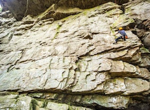
Climb The Lilly Bluff Wall
The Obed Wild and Scenic River is typically not found in the same conversations as Zion or Yosemite, but be assured this hidden gem of Tennessee is one of the East Coast's must climb destinations.There are a number of climbing areas within the Obed worth exploring, ranging from bouldering to mul...Read more -
Knoxville, Tennessee
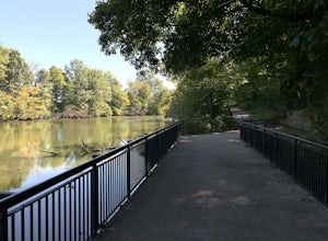
River Boardwalk Trail
1.5 mi / 200 ft gainThis trail is located at the Ijams Nature Center. Ijams Nature Center is only 10 minutes from downtown Knoxville and is a great place to escape city life and enjoy the outdoors. The parking lot here is quite large and in the busy season it has an overflow lot too. Ijams Nature Center has many hik...Read more -
Lancing, Tennessee
Camp at OBED Wild and Scenic River Area via the Point Trail
4 miYou will want to park at the Lilly Bluff parking lot. Your GPS won't know where this is, so here are the GPS coordinates N36° 06.162', W84° 43.280'.The trailhead is located on the North side of the parking lot. All you need to do is follow the sign for Point Trail. The trail culminates at an e...Read more -
Lancing, Tennessee
Take in the View at Lilly Bluff Overlook
5.00.6 mi / 0 ft gainHonestly this is hard to even call a trail, but that doesn't mean it lacks beauty. Once you take the right or left of off ridge Ridge Road make sure to go past the first parking lot and into the second larger parking lot. The trail starts near the front of the parking lot on the right side of the...Read more

