Caryville, Tennessee
Looking for the best hiking in Caryville? We've got you covered with the top trails, trips, hiking, backpacking, camping and more around Caryville. The detailed guides, photos, and reviews are all submitted by the Outbound community.
Top Hiking Spots in and near Caryville
-
Caryville, Tennessee
Triple Falls AKA Little Egypt
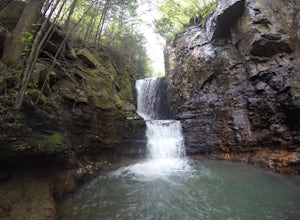
4.01.95 mi / 682 ft gainTriple falls trail otherwise known as little egypt is known for its cooling waterfalls in the summer and fall and the beautiful views from the top of the mountain year round. Getting to it is pretty easy all you have to do is follow your GPS until you see a small dirt parking lot off the side of ...Read more -
Andersonville, Tennessee
Norris Dam State Park Campground Trail
14.6 mi / 2310 ft gainNorris Dam State Park Campground Trail is a loop trail that takes you by a lake located near Rocky Top, Tennessee.Read more -
Unnamed Road, Tennessee
Hike to Hatfield Knob Elk Viewing Tower
1 mi / 200 ft gainHIGHLY RECOMMENDED TO HAVE A 4WD VEHICLE OR ALL WHEEL DRIVE. The road to the trail-head can be very dangerous at times because of mud and debris, because of this an all wheel drive at least is very useful if you only have a 2WD car or truck I suggest only going in dry conditions. When you get t...Read more -
Wartburg, Tennessee
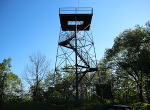
Hike to Frozen Head State Park Fire Tower
4.54.5 mi / 1300 ft gainTo get to this hike the easiest way is to go up Petros hwy near the closed Brushy Mountain State prison. The trailhead is a large gravel lot on the side of the road. The trail is an old road so it is wide and well taken care of. However, the trail is very steep all the way up. The trail has only ...Read more -
Wartburg, Tennessee
Hike to Debord and Emory Gap Falls in Frozen Head SP
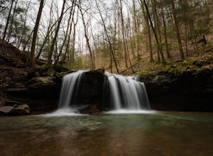
4.33.2 mi / 465 ft gainThe trail head begins just over the bridge and is labeled as the Panther Branch trail head. To began you will continue straight and within .6 miles of hiking you will come to the first waterfall on a branch off on the right side of the trail. This first waterfall is Debord Falls and it can be eas...Read more -
Wartburg, Tennessee
Old Mac Mountain and Frozen Head Firetower
6.42 mi / 1906 ft gainOld Mac Mountain and Frozen Head Firetower is an out-and-back trail that takes you past scenic surroundings located near Wartburg, Tennessee.Read more -
Oak Ridge, Tennessee
Hike to North Boundary Quarry
5.01 mi / 100 ft gainThe parking at the trailhead is right off of the Oak Ridge turnpike so its very easy to park and there are plenty of spots to park. The trail is very wide and is a great place for taking kids and riding your bike. There are more than one trail that you can take to get to the quarry from the trail...Read more -
Wartburg, Tennessee
Potter's Falls
0.1 mi / 50 ft gainPotter's Falls is a semi locally known area that is used for lots of different activities. To get there the roads are pretty simple and easy to follow the directions. The parking can be a bit tricky especially if its during the summer or extreme cold in the winter. There are only about 15 spots o...Read more -
Knoxville, Tennessee
Adair Park
1.5 miThis Urban park is located in North Knoxville. The park is only a few minutes from downtown Knoxville. This park is small but offers a nice wilderness in the city. There is a lot of wildlife at this park. The park has many hiking/biking trails through the park. In total there is 1.5 miles of gree...Read more -
Knoxville, Tennessee
Victor Ashe Park
2.5 miThis park is located just 10 minutes from downtown Knoxville. The parking here is massive and has near 100 parking spots spread out over the park. The park offers many activities and amazing views. The main attraction of the park is the greenway and the disc golf course. The greenway runs all the...Read more -
Oneida, Tennessee
Hike Honey Creek Loop
5.6 miThe trailhead of the 5.6-mile Honey Creek outer loop can be found at the Big South Fork National River - Honey Creek Trailhead Overlook in Robbins, TN 37852. This trail is marked by dark green blazes and is one of the park's most challenging to hike. While the trail is rugged, it is easy to get...Read more -
Oneida, Tennessee
Short hike to East Rim Overlook
0.2 mi / 50 ft gainThis trail is located in Big South Fork National Recreation Area. This is more of a walk than a hike. The entire trail is paved except for the wooden boardwalk overlook at the end. The overlook shows the gorgeous views of the river valley and some of the rock formations in the area. The trail is ...Read more -
Corryton, Tennessee
Hike House Mountain, TN
5.03 miHouse Mountain is a short, at times strenuous hike that is doable in all weather conditions. Going at different times of year can be a treat due to the unique beauty of each season adding some spice to this quick trip. There are 5-7 switchbacks to push through, but the view atop House Mountain am...Read more -
Oneida, Tennessee
Backpack to Angel Falls Overlook in the Big South Fork
4.06.4 mi / 800 ft gainStarting at a very small parking space, you head onto a fairly overgrown trail for half a mile. The trail then begins to thin out and is not as overgrown. Keeping a steady incline, you almost instantly feel the burn in your calves. At around 2 miles in, there is a single grave from a baby that l...Read more -
Knoxville, Tennessee
Fort Dickerson Quarry Park
This is an amazing gem in south Knoxville only 7 minutes away from Gay Street. This is one of the newest parks in Knoxville but it has been a part of Knoxville for centuries. The quarry is a gorgeous place for swimming and kayaking. This park offers numerous outdoor activities all in a great plac...Read more -
Knoxville, Tennessee
High Ground Park (Fort Higley)
0.66 mi / 89 ft gainHigh Ground Park (Fort Higley) is an out-and-back trail that takes you through a nice forest and park located near Knoxville, Tennessee.Read more

