Wayne, Pennsylvania
Looking for the best hiking in Wayne? We've got you covered with the top trails, trips, hiking, backpacking, camping and more around Wayne. The detailed guides, photos, and reviews are all submitted by the Outbound community.
Top Hiking Spots in and near Wayne
-
Tinicum Township, Pennsylvania
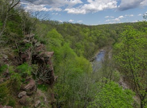
Hike the High Rocks State Park Loop
4.61.5 miHigh Rocks State Park, a section of Ralph Stover State Park, offers visitors some of the best views in Eastern Pennsylvania. Across from the parking lot on Tory Road, you will find the main trailhead. This will lead you to several different trail options, all varying in length, and all bringing y...Read more -
Stockton, New Jersey
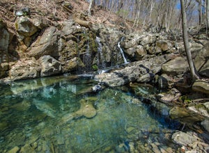
Explore Kugler Woods Waterfall
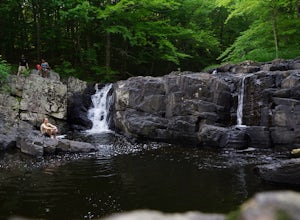
4.00.5 miDrive 5.2 miles north on Route 29 from the center of Stockton, NJ and you will come across a very small parking lot on the left side of the road. If you park your car there, walk back south on Route 29 about 50 feet, and cross over to the woods-side of the road. There you will find the trailhea...Read more -
Lambertville, New Jersey
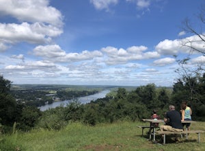
Hike the Goat Hill Overlook
1 miHike a short and easy path up a hill to the Goat Hill Overlook where you'll have a wonderful view of the Delaware River and New Hope, PA. Put 'Goat Hill Overlook' into your maps and you will be led right to the trailhead where you can easily park in the gravel parking lot or on the side of the pa...Read more -
Frenchtown, New Jersey
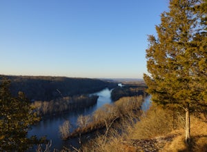
Hike to the Devil's Tea Table
3.00.5 mi / 20 ft gainApart from the rock, there's more trail to follow for a stunning overview and a great spot to hang out and relax. The view is a must-see, it is so much better in person. The hike is not challenging at all, it is basically a straight trail. Climbing some medium sized rocks might be required, but i...Read more -
Delaware City, Delaware
Hike Michael Castle Trail
5.012.4 mi / 288 ft gainThis trail welcomes people of all skill levels. It’s mostly flat with just a few inclines and is nicely paved. It’s a relatively wide trail, leaving enough room for multiple walkers, hikers, skaters, or bikers. It’s the perfect trail for those looking to train long distances, whether running or...Read more -
Hopewell Township, New Jersey
Hike the Baldpate Mountain Loop
5.01.25 miThe parking lot on Pleasant Valley Road provides access to the trailhead for this 1.25 mile loop hike.Starting at the trailhead, take the Ridge Trail (white) going West. The ridge trail is wide and flat, and branches off to many other smaller trails throughout the preserve.After about 0.25 miles...Read more -
Stockton, New Jersey
Hike to the Hidden Lockatong Waterfall
3.72 miIf you're on Kingwood Stockton Road, there will be a dirt road with a Lockatong Nature Preserve sign before it (going north on Kingwood Stockton Road, the sign will be on your left. If you're driving south, the sign will be on your right). Just drive all the way until the end of the dirt road and...Read more -
New Castle, Delaware
Hike or Bike Michael N. Castle Trail
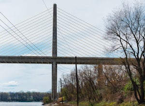
19.7 miThe Michael N. Castle Trail (known locally as the Mike Castle Trail) is a 19.7-mile trail in northern Delaware along the Chesapeake and Delaware Canal. You'll get great views of the canal and the bridges. The trail is flat and paved, making it a great pick for biking. The trail is one way, but ...Read more -
Bear, Delaware
Hike the Swamp Forest Trail
6.75 mi / 144 ft gainEspecially scenic in the fall, this well maintained trail loops around a small pond. It is an easy walk (or bike ride) that has a good chance of numerous wildlife sightings.Read more -
Bear, Delaware
Camp at Lums Pond State Park
5.0Lums Pond State Park offers endless adventures while you camp in the newly renovated campground. Explore the pond via kayak, hike through more than 12 miles of trails, fish from the water’s edge, take your dog to enjoy the off-leash dog park, or try the Go Ape Treetop Adventure Course. The camp...Read more -
Shamong, New Jersey
Camp at Wharton State Forest
3.0There is plenty of potential for activity in New Jersey's largest state park. Wharton offers Mullica River for boating, as well as three other rivers for canoeing. Hikers can follow the 50-mile Batona Trail, which connects Wharton to the Brendan T. Byrne and Bass River State Forests. Other trails...Read more -
Shamong, New Jersey
Hike to Quaker Bridge via Atsion
7 miLooking at a map of New Jersey, you'll notice that the biggest green patch of forest on the map is Wharton State Forest, in the southern half of the state. There are many great hikes to do in the state forest, described here is a relatively easy 7 mile hike that serves a nice introduction to hiki...Read more -
Hopewell, New Jersey
Hike through the Sourland Mountain Preserve
5.02.91 miThe Sourland Mountain Preserve stretches from Hunterdon County all the way into Somerset County. The trails referenced here are on the southwest side of the preserve in Hunterdon County. They are accessible from an on site parking lot at 233 Rileyville Road in Ringoes NJ.There are several trails ...Read more -
Bloomsbury, New Jersey
Hiking in Musconetcong Gorge Preserve
3.3Start out on Ridge Trail (yellow blazes), found at the rear of the parking lot. Shortly, you will come to a stream crossing, followed by a set of wooden steps. Just before the next stream, turn left following the white blazes. This section of the trail makes a moderately rocky descent, as it foll...Read more -
North East, Maryland
Hike the Elk Neck State Forest Trails
3.56.6 mi / 450 ft gainPark in the lot (see map) and follow signage for the loop trail. This is not a highly trafficked trail so there may be sections that need some maintenance, but that won't get in the way of completing the hike.Read more -
Princeton, New Jersey
Mountain Lakes Nature Preserve Loop
4.52.3 mi / 157 ft gainAn 8-mile network of maintained trails traversing this Preserve, Mountain Lakes North, John Witherspoon Woods,parts of Tusculum (private) and Community Park North makes a variety of loop hikes possible. Pathways include a boardwalk (over wetlands) and paved bicycle roads. Click here for a trail...Read more

