Slatington, Pennsylvania
Looking for the best hiking in Slatington? We've got you covered with the top trails, trips, hiking, backpacking, camping and more around Slatington. The detailed guides, photos, and reviews are all submitted by the Outbound community.
Top Hiking Spots in and near Slatington
-
Bushkill, Pennsylvania
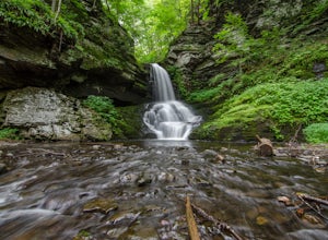
Bushkill Falls Loop
3.81.89 mi / 331 ft gainBushkill Falls offers visitors a choice of 4 different trails to explore. All trails are very well maintained, making this trip safe for the whole family. The most rewarding trail is the Red Trail. This route brings you to all 8 of Bushkill's waterfalls. Taking the trail counter-clockwise, you w...Read more -
Califon, New Jersey
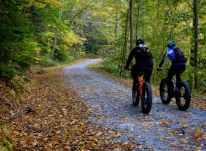
Bike the Columbia Trail: Califon to High Bridge
There are multiple places to pick up the Columbia Trail (High Bridge, Califon, Long Valley, Flanders) but this post is for biking or running from Califon to High Bridge and back. The best place to park is at the old town railroad station on, of course, Railroad Ave. You will be able to see the en...Read more -
Greentown, Pennsylvania
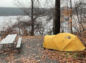
Camp at Pickerel Point Campground
Pickerel Point Campground rests on a peninsula of the Promised Land Lake, where miles and miles of forest are punctuated by this beautiful body of water. Open sky, fresh mountain air, and the wind whispering through the maples and oaks makes for a truly enchanting place. Campers can engage all ki...Read more -
Greentown, Pennsylvania
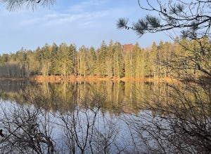
Conservation Island Nature Trail
1.08 mi / 36 ft gainConservation Island Nature Trail is a loop trail that is good for all skill levels located near Greentown, Pennsylvania.Read more -
Greentown, Pennsylvania
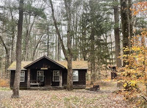
Camp at Rustic Bear Wallow Cabins
Rustic Bear Wallow Cabins are the ideal compromise between going camping and staying home. Enjoy an intimate connection with the natural landscape of Pennsylvania, including two lakes and the Pocono Plateau of Promised Land State Park. Explore the rich landscape, enjoy the water, and come home to...Read more -
Lambertville, New Jersey
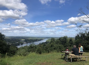
Hike the Goat Hill Overlook
1 miHike a short and easy path up a hill to the Goat Hill Overlook where you'll have a wonderful view of the Delaware River and New Hope, PA. Put 'Goat Hill Overlook' into your maps and you will be led right to the trailhead where you can easily park in the gravel parking lot or on the side of the pa...Read more -
Lehman township, Pennsylvania
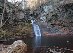
Hike to Hornbeck's Creek Waterfall
4.31.2 miGPS Coordinates: 41.187148,-74.885454Driving Directions: From 209, enter into the Delaware Water Gap and in between the 10 and 11 mile markers you will see a sign for Hornbecks Creek with a gravel road adjacent to it. Follow the road back until you reach the parking lot and the trail will be to t...Read more -
Washington Township, New Jersey
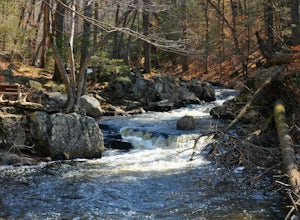
Hike Hacklebarney State Park's Trout Brook Riverbanks
5.0This is a relatively easy hike through Hacklebarney State Park that is great for families with younger children, rock scrambling, photography, and just hanging out in nature. There are two different ways to explore Hacklebarney, either by staying on the packed gravel path or by following the bank...Read more -
Malvern, Pennsylvania
Hike Valley Forge
3.92.5 miThere are many trails to choose from on Mt. Misery and a good place to start is at the parking lot located at the intersection of Yellow Springs Road and Library Lane (off of the main Valley Creek Road).The Mt. Misery Trail starts there, heads up through the trees about 0.75 miles and meets up wi...Read more -
Dingmans Ferry, Pennsylvania
Hike to Indian Ladder Falls Along Hornbecks Creek
3.52 mi / 400 ft gainFor some time, the trail was eroded above the first falls on Hornbecks Creek, not allowing hikers to access the creek's upper falls if they were coming upstream from Route 209. I am writing this in June 2017 and that is no longer the case! You can hike from Rt. 209 all the way up the creek to Eme...Read more -
Hopewell Township, New Jersey
Hike the Baldpate Mountain Loop
5.01.25 miThe parking lot on Pleasant Valley Road provides access to the trailhead for this 1.25 mile loop hike.Starting at the trailhead, take the Ridge Trail (white) going West. The ridge trail is wide and flat, and branches off to many other smaller trails throughout the preserve.After about 0.25 miles...Read more -
Hopewell, New Jersey
Hike through the Sourland Mountain Preserve
5.02.91 miThe Sourland Mountain Preserve stretches from Hunterdon County all the way into Somerset County. The trails referenced here are on the southwest side of the preserve in Hunterdon County. They are accessible from an on site parking lot at 233 Rileyville Road in Ringoes NJ.There are several trails ...Read more -
Newtown, Pennsylvania
Canoe Neshaminy Creek at Tyler State Park
1 miEnjoy a peaceful paddle on Neshaminy Creek by canoe in Tyler State Park. The park is in a beautiful part of Bucks County and also offers paved and unpaved trails for running and bike riding, an extensive disc golf course, swimming in the creek, and picnic areas. It is likely that you will see a h...Read more -
Dingmans Ferry, Pennsylvania
Explore George W Child's Park
4.01.4 mi / 144 ft gainOnce parked, enter the trailhead and follow the trail down Dingmans Creek to the first set of falls. Try taking pictures from off the trail to the right of these falls. Continue on to the second waterfall and again step off the trail to take pictures from the right side of the waterfall, if you d...Read more

