Pennsylvania
Looking for the best photography in Pennsylvania? We've got you covered with the top trails, trips, hiking, backpacking, camping and more around Pennsylvania. The detailed guides, photos, and reviews are all submitted by the Outbound community.
Top Photography Spots in and near Pennsylvania
-
McIntyre Township, Pennsylvania
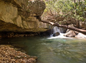
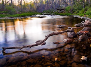
Explore Rock Run
5.0Rock Run is a place that I would not turn down a chance to explore again and again. It is easy to get lost in your own thoughts reflecting on the beauty of the surroundings, swim in the always chilled waters, or get out your fishing pole and catch some trout during the season.After making your w...Read more -
Wellsboro, Pennsylvania
Barbour Rock Loop
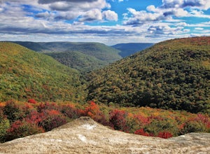
2.64 mi / 331 ft gainThe parking can be found along Colton Road heading toward Colton Point State Park. There is a large sign opposite the parking and the trail is a wide gravel path through the woods. It is 0.7 miles walk on the path to the vista suitable for anyone. You then have the option to head back or create ...Read more -
Carnegie, Pennsylvania
Hike the Rainbow Loop in Settlers Cabin
3.35.5 miThere are three main trails in the park. The Green Loop (2 miles), Blue Loop (2 miles), and Purple Loop (1.5 miles). These all connect at some point so if you are looking for a little longer walk you can do all three at once. This totals a 5.5 mile loop. You can park at the tennis courts and do a...Read more -
Dingmans Ferry, Pennsylvania
Hike to Indian Ladder Falls Along Hornbecks Creek
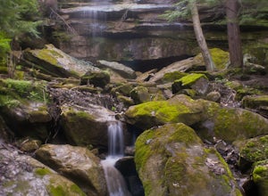
3.52 mi / 400 ft gainFor some time, the trail was eroded above the first falls on Hornbecks Creek, not allowing hikers to access the creek's upper falls if they were coming upstream from Route 209. I am writing this in June 2017 and that is no longer the case! You can hike from Rt. 209 all the way up the creek to Eme...Read more -
Dunbar, Pennsylvania
Hike the Sugar Run Trail
1.6 miThis trail connects Old Mitchell Trail to Johnathan Run Trail. It is a short but fun hike down to the falls. We parked by the helicopter landing field and the trail head was right by the entrance to the parking lot.The hike down to the falls was nice and easy, but coming back up was tough. The tr...Read more -
Nazareth, Pennsylvania
Hike the Henry's Woods Loop in Jacobsburg State Park
5.01.9 mi / 200 ft gainOnly a short drive from the major Pennsylvania cities of Allentown, Bethlehem, and Easton lies Jacobsburg State Park and environmental center. The main feature of the park is most certainly the Henry's Woods loop. Although just under two miles, this trail encompasses a variety of terrain and ol...Read more -
Wellsboro, Pennsylvania
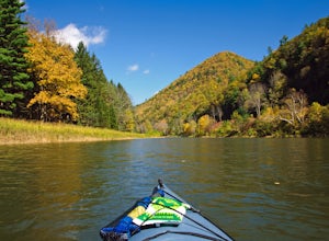
Kayak Camp the Pennsylvania Grand Canyon
5.0Start at the Big Meadows parking area in Ansonia. The water access is at Marsh Creek but almost immediately meets up with Pine Creek. Arrange a shuttle service with Pine Creek Outfitters to either pick you up or shuttle your vehicle to the take out at Blackwell and also pick up one of their wate...Read more -
Glen Mills, Pennsylvania
Hike the White Trail in Ridley Creek State Park
2.55 mi / 450 ft gainThe white trail is the only true loop hike in the park. Strangely enough, it has no official trailhead. You can gain access to the trail from either Pavilion/picnic are #9 or Pavilion/picnic area #16. I chose picnic area #9 and hiked in a clockwise direction. This section starts very close to and...Read more -
Collegeville, Pennsylvania
Skippack Creek Loop
4.07.25 mi / 377 ft gainThe Skippack Creek Trail in Evansburg State Park was one of my favorites on this most recent trip. Any chance I can hike a trail alongside a river, I take advantage of it. The trail starts on the south side of Skippack Creek at a parking area on Kratz Road. It was early in the morning and the wea...Read more -
Muncy Valley, Pennsylvania
Photograph The Loyalsock Canyon Vista
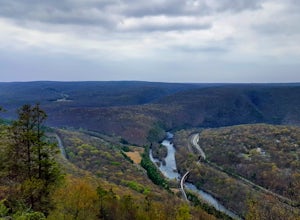
4.0Take a drive to World's End State Park through the Loyalsock Valley and enjoy a great view. Once you enter the state park via 154, drive past the main parking area and take a right onto Mineral Spring Road and follow it until you take a left onto Cold Run Road. The road up is about two miles - wh...Read more -
Dingmans Ferry, Pennsylvania
Explore George W Child's Park
4.01.4 mi / 144 ft gainOnce parked, enter the trailhead and follow the trail down Dingmans Creek to the first set of falls. Try taking pictures from off the trail to the right of these falls. Continue on to the second waterfall and again step off the trail to take pictures from the right side of the waterfall, if you d...Read more -
Jim Thorpe, Pennsylvania
Bike the Lehigh Gorge Trail: Lock #2
4 miIt was a rainy day, which brings along mud (but I think mountain biking is better in the rain and mud anyways).Enter the trail by going through the county parking lot and to the left end under the bridge. The trail starts along the tracks and you can admire the restored old rail cars. Cross ove...Read more -
Jim Thorpe, Pennsylvania
Bike the Switchback Trail around Mauch Chunk Lake Park
5.011 miThe trail entrance can be found by going up Broadway and taking Hill Road to the right at the Opera House. At the top of Hill Road will be the entrance to the trail; there is a nice little wooden sign so you don't miss it. This trail can be hiked or biked; we chose to do some mountain biking.Th...Read more -
Trout Run, Pennsylvania
Hike the Frozen Run Gorge
5.05 miOne of the most remote hikes in the beautiful Loyalsock State Forest, this loop through the Frozen Run Gorge is a fantastic hike for an experienced hiker looking to see a place that few other hikers do.There are no official trails through the gorge and this hike is a bushwhack. There are a couple...Read more -
Portersville, Pennsylvania
Hike the Alpha Pass Trail
0.2 miPark in the lot at McConnell's Mill Rd but instead of going down the steps from the lot, walk up to the intersection of Johnson Rd and McConnell's Mill Rd. Walk toward the house that is a little down the road on McConnell's Mill Rd. You will see a trail head to your left and thats where you want ...Read more -
North Bend, Pennsylvania
Hyner View State Park Overlook
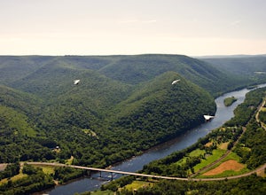
5.0Hyner View State Park is located in North Central Pennsylvania Between Lock Haven and Renovo on Route 120 along the West Branch of the Susquehanna River. The park has plenty of parking, picnic areas and spectacular views. What makes this State Park unique is the foot launch for hang gliders and...Read more

