Glen Mills, Pennsylvania
Top Spots in and near Glen Mills
-
Morrisville, Pennsylvania
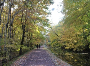
Run or Bike the Delaware Canal Towpath: Yardley to New Hope
4.010 miThe Delaware Canal is a 60-mile path along a historic canal that runs parallel to the Delaware River. The canal runs from Bristol (closer to Philly) all the way to Easton, near Bethlehem, PA. One of the most scenic parts of the canal starts in the Lower Bucks County town of Yardley with an access...Read more -
Tinicum Township, Pennsylvania
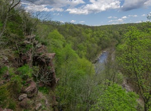
Hike the High Rocks State Park Loop
4.61.5 miHigh Rocks State Park, a section of Ralph Stover State Park, offers visitors some of the best views in Eastern Pennsylvania. Across from the parking lot on Tory Road, you will find the main trailhead. This will lead you to several different trail options, all varying in length, and all bringing y...Read more -
Stockton, New Jersey
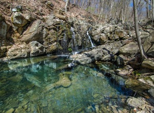
Explore Kugler Woods Waterfall
4.00.5 miDrive 5.2 miles north on Route 29 from the center of Stockton, NJ and you will come across a very small parking lot on the left side of the road. If you park your car there, walk back south on Route 29 about 50 feet, and cross over to the woods-side of the road. There you will find the trailhea...Read more -
Shamong, New Jersey
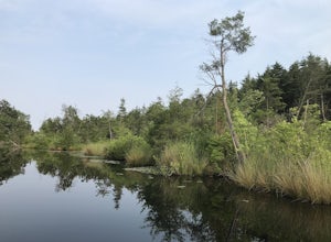
Camp at Wharton State Forest
3.0There is plenty of potential for activity in New Jersey's largest state park. Wharton offers Mullica River for boating, as well as three other rivers for canoeing. Hikers can follow the 50-mile Batona Trail, which connects Wharton to the Brendan T. Byrne and Bass River State Forests. Other trails...Read more -
Shamong, New Jersey
Hike to Quaker Bridge via Atsion
7 miLooking at a map of New Jersey, you'll notice that the biggest green patch of forest on the map is Wharton State Forest, in the southern half of the state. There are many great hikes to do in the state forest, described here is a relatively easy 7 mile hike that serves a nice introduction to hiki...Read more -
Lambertville, New Jersey
Hike the Goat Hill Overlook
1 miHike a short and easy path up a hill to the Goat Hill Overlook where you'll have a wonderful view of the Delaware River and New Hope, PA. Put 'Goat Hill Overlook' into your maps and you will be led right to the trailhead where you can easily park in the gravel parking lot or on the side of the pa...Read more -
Lambertville, New Jersey
Mountain Bike Dry Run Creek Trail
1 miThis short trail runs alongside a small creek, and is a perfect spot for mountain biking and running. There is a small parking lot right at the trailhead, making this spot very convenient to access. It is not a very challenging ride, although there are a few ruts that can be messy if it has recen...Read more -
Frenchtown, New Jersey
Hike to the Devil's Tea Table
3.00.5 mi / 20 ft gainApart from the rock, there's more trail to follow for a stunning overview and a great spot to hang out and relax. The view is a must-see, it is so much better in person. The hike is not challenging at all, it is basically a straight trail. Climbing some medium sized rocks might be required, but i...Read more -
Hopewell Township, New Jersey
Hike the Baldpate Mountain Loop
5.01.25 miThe parking lot on Pleasant Valley Road provides access to the trailhead for this 1.25 mile loop hike.Starting at the trailhead, take the Ridge Trail (white) going West. The ridge trail is wide and flat, and branches off to many other smaller trails throughout the preserve.After about 0.25 miles...Read more -
Airville, Pennsylvania
Hike the Mason-Dixon Trail to Peavine Island
2 miThe Mason-Dixon Trail is a 200-mile trail that begins and ends in Pennsylvania, passing through Maryland and Delaware along the way. The trail connects the AT to the Brandywine Trail and spends considerable time adjacent to the wide and wondrous Susquehanna River. One of the Mason-Dixon trail's m...Read more -
Airville, Pennsylvania
Explore Mill Creek Falls
It's not too hard to find the Mill Creek Falls; you can see it from the parking lot. This is an ideal spot if you just need a quick fix of something beautiful. From the road, follow the blue blazes of the Mason-Dixon Trail up the hill. After you admire and photograph the falls, consider hiking t...Read more -
Smyrna, Delaware
Explore Bombay Hook National Wildlife Refuge
5.012 miBombay Hook National Wildlife Refuge is one of the largest expanses of tidal salt marsh in the mid-Atlantic, and is nestled on the Eastern shores of Kent County, Delaware. Upon arriving at the refuge, there is a small visitor center with maps, a video presentation, restrooms, and educational exhi...Read more -
Stockton, New Jersey
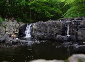
Hike to the Hidden Lockatong Waterfall
3.72 miIf you're on Kingwood Stockton Road, there will be a dirt road with a Lockatong Nature Preserve sign before it (going north on Kingwood Stockton Road, the sign will be on your left. If you're driving south, the sign will be on your right). Just drive all the way until the end of the dirt road and...Read more -
Conestoga, Pennsylvania
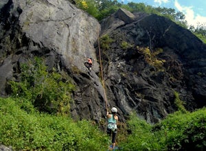
Climb at Safe Harbor
3.3Directions: Drive to Safe Harbor. From Safe Harbor, take River Road south to Green Hill Road--this road is very windy. Drive towards Shenk's Ferry Wildflower Preserve. When you reach the tunnel, park on either side of the tunnel. There isn't too much parking here so I'd suggest carpooling.The tra...Read more -
Pennington, New Jersey
Bike the Sourlands
10 miCycle through one of the most beautiful areas of New Jersey, the Sourland Mountain Preserve area with acres of forest, wetlands, and farmland. For a shorter ride you can park at Hopewell Valley Central High School and depart from there on Pennington-Harbourton Road to Scotch Road and Bear Tavern ...Read more -
Bel Air, Maryland
Hike the Deer Creek Trail
5.02 miBecause Palmer State Park is still under development (with no timeline given for its completion), there are only a few trails that meander through this 555-acre reserve. Palmer's official website offers a not-so-helpful topographical map, but the easiest way into the park that I could find was ne...Read more

