Terrebonne, Oregon
Top Spots in and near Terrebonne
-
Camp Sherman, Oregon
Black Butte
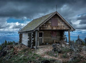
4.53.94 mi / 1493 ft gainJust outside of Sisters Oregon is the stunning and popular day hike to the summit Black Butte (Elevation 6,436 feet). At the top, spectacular views of the surrounding Cascades await the intrepid hiker. To get to the trailhead, turn off of Highway 22 onto National Forest Road (NFR) 11, also known...Read more -
Bend, Oregon
MTB on Phil's Trail Single Track
5.0The Phil's Area Trail System is the go-to trail system for mountain biking in Bend. Even the other trails in the region that aren't actually part of the Phil's Trail System feed into or connect to trails that feed into Phil's.According to the locals, the boundaries of the Phil's Area Trail System...Read more -
Camp Sherman, Oregon
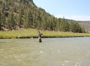
Fly Fishing the Metolius
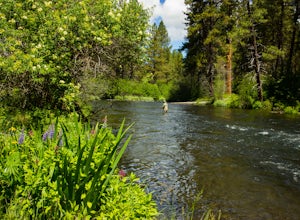
5.0If there were a river in heaven it would be the Metolius. This gem located near Sisters Oregon offers year-round fly-fishing (only) to anyone who wishes to do so. The area offers multiple types of accommodations from tent camping to staying in resort-like cabins on the river. The best time to go...Read more -
Camp Sherman, Oregon
Hike the West Metolius River Trail
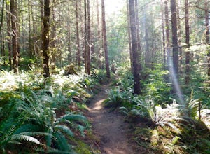
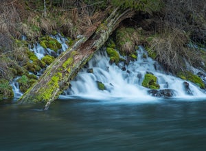
8 mi / 280 ft gainThe West Metolius River trail is one of the finest river trails in Central Oregon due to its easy terrain, beautiful blue water, volcanic spring fed waterfalls, and forest views. The hike starts just downstream from the Lower Canyon Creek Campground, where there is a bathroom and some picnic tab...Read more -
Deschutes County, Oregon
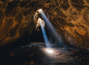
Skylight Cave
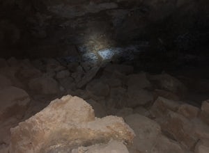
4.40.2 mi / -25 ft gainThe hardest part about getting to Skylight Cave is the drive. Start by coming from Sisters, Oregon, and use the driving directions below to find it. The Google Maps pin is accurate, and if you like coordinates, you can use 44°20'55.3"N 121°42'55.9"W as well. It's recommended you download an offl...Read more -
Bend, Oregon
Deschutes River Trail: Meadow Day Use Area
5.06.6 mi / 279 ft gainDeschutes River Trail: Meadow Day Use Area is an out-and-back trail that takes you by a river located near Bend, Oregon.Read more -
Prineville, Oregon
Fly Fish Crooked River
5.0Head East out of Bend, Oregon towards Prineville Reservoir State Park and Highway 27, which runs along the Crooked River. It is about an hour outside of Bend. Once you reach Highway 27 (Crooked River Highway), there are several campgrounds and pull-outs along the side of the road where you can st...Read more -
Deschutes County, Oregon
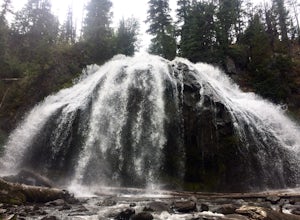
Chush Falls
3.35.75 mi / 823 ft gainJust outside of Sisters, Oregon, near Bend, is a beautiful hike to a picturesque waterfall. It is rarely crowded thanks (and no thanks) to the Pole Creek Fire, which ravaged the area several years ago. Because of the fire, the hike and landscape have been drastically altered. What used to be a 2-...Read more -
Bend, Oregon
Deschutes River Trail: Lava Island Trailhead to Benham Falls
13.13 mi / 673 ft gainDeschutes River Trail: Lava Island Trailhead to Benham Falls is an out-and-back trail that takes you by a river located near La Pine, Oregon.Read more -
Sisters, Oregon
Suttle Lake Loop
5.03.66 mi / 128 ft gainBeginning at the Suttle Lake Lodge just off Highway 20, the Suttle Lake Loop follows a wide dirt path that circumnavigates the entire lake. Hug the lake whenever the trail opens up to camping areas or pavement - it's nearly impossible to become lost on this track. Pass campsites, kayakers, and r...Read more -
Bend, Oregon
Tam McArthur Rim, Green Lakes, Park Meadow Tie Loop
3.322.58 mi / 3675 ft gainThis loop trip around Broken Top is one of the premier backpacking loops in Oregon. The trail winds past numerous alpine lakes, including the popular Green Lakes area, and offers near-constant views of Broken Top, the Three Sisters, and Mount Bachelor. To top it all off, the clear skies typical o...Read more -
Bend, Oregon
Hike Tam McArthur Rim Trail
5.05.2 mi / 1500 ft gainThe Tam McArthur Rim Trail is a day hike in the Three Sisters Wilderness that will have you gaining about 1,500' of elevation for beautiful views of Three Creek Lake and the surrounding Three Sisters Mountains. On a clear day you can also catch a peak of Mt. Bachelor Ski Area. The trail is less ...Read more -
Bend, Oregon
Hike Bessie Butte
4.41.5 mi / 500 ft gainJust a mere 15 minutes outside of Bend, Oregon the Bessie Butte Trail is a wonderfully scenic hike to overlook Bend on one side and the Deschutes National Forest on the other. The butte provides an excellent view of the surrounding mountains of which there are many: Mount Bachelor, The South Sist...Read more -
Madras, Oregon
White Water Raft Down the Deschutes River
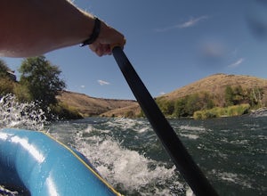
4.5For first time rafters and those just looking to get back into some fun white water, the Deschutes is a great run and an easily accessible one at that. Guiding companies operate trips spring through late summer starting out of the quiet town of Maupin, Oregon with both half day (just river raftin...Read more -
Bend, Oregon
Boyd Cave
5.00.69 mi / 66 ft gainLocated 20 miles southeast of Bend, Boyd Cave is a well preserved lava tube stretching close to a mile. To get there, take Highway 97 South through Bend and turn left on China Hat Road. Go straight for exactly 9 miles. Turn left at mile 9 onto the trail at FS242. You will know it has been 9 miles...Read more -
Bend, Oregon
Tumalo Falls
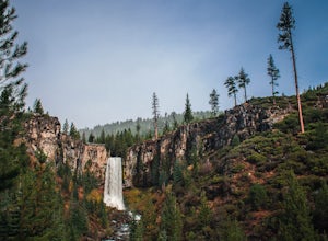
4.40.42 mi / 62 ft gainThe viewpoint is only footsteps from the parking area, and gives the best view of the 89-foot falls. A half mile trail leads visitors up to the upper viewpoint, right next to the falls. From there, Middle Tumalo Falls is around one and a quarter miles up the trail and Happy Valley is around three...Read more

