Terrebonne, Oregon
Top Spots in and near Terrebonne
-
Bend, Oregon
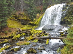
Tumalo Creek Loop
5.09.79 mi / 1437 ft gainThis Loop begins at the Tumalo Falls View Point; however, the trail continues for another 3 miles. Although the first waterfall is certainly spectacular, this creek has cascading falls about every half mile. These water falls are indicative of the famous geology in the Three Sisters Wilderness....Read more -
Bend, Oregon
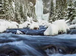
Snowshoe or XC Ski to Tumalo Falls
3.55 mi / 500 ft gainIf you are looking to Hike to Tumalo Falls in any season other than winter, click here!In the summer, Tumalo Falls can be a great destination to drive up and hang out due to the fact that you can park near the base of the falls. Because of this, it can get quite crowded! However, in the winter, t...Read more -
Bend, Oregon
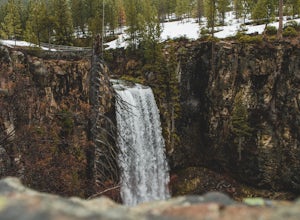
Tumalo Falls Loop
6.87 mi / 1237 ft gainTumalo Falls Loop is a loop trail with stunning scenery including the adventure titled, Tumalo Falls. This trail is located near Bend, Oregon.Read more -
Bend, Oregon
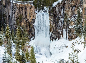
Tumalo Falls and Double Falls
5.02.01 mi / 318 ft gainTumalo Falls and Double Falls is an out-and-back trail that takes you by two stunning waterfalls located near Bend, Oregon. This trail is dog friendly on-leash.Read more -
Deschutes County, Oregon
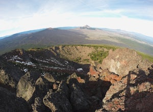
Summit Black Crater
5.08 mi / 2211 ft gainThe Black Crater Trailhead parking lot is accessed off the McKenzie Pass (Hwy 242). The trailhead starting elevation is 5,040ft. (using the iPhone app "Topo Maps". Great app) with a 3.8 Mile hike one way to the Black Crater Summit at 7,251ft of elevation. Some parts of the trail are steep and g...Read more -
Sisters, Oregon
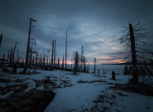
Winter Camp on Cache Mountain
5.02 miCache Mountain offers amazing views of Mt Jefferson, 3 Fingered Jack, Mt Washington and the North and Middle Sisters. In the summer months, it is also known as one of the best single track mountain biking spots in Central Oregon. This is a great spot for a multi-day camping trip; set up camp and ...Read more -
Deschutes County, Oregon
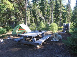
Camp at Lava Lake
4.5Beautiful spot to set your tent up for a night or longer.About 12 spots scatter the immediate campground area, but while hiking we spotted several more dispersed throughout the towering Ponderosa Pine trees. Most of the spots circle a small lake. The ground in this site is a VERY soft dirt, perfe...Read more -
Deschutes County, Oregon
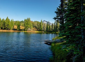
Matthieu Lakes via Lava Camp Lake Trail
2.06 mi / 922 ft gainBegin your hike at the Lava Camp Lake Trailhead. The trail winds through a forest flush with hemlock and fir while opening up into black lava flows. Continue for a little over two miles until you reach North Matthieu Lake. This is your first stop. Go for a swim out to the little island and have a...Read more -
Bend, Oregon
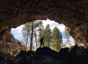
Explore Arnold Ice Caves
4.00.95 mi / 26 ft gain...Deep in the central Oregon Forest is a cave that is surrounded by Juniper Trees, Ponderosa Pines and the landscape of a secret volcanic underground world! This short hike is located roughly 12 miles East of Bend, and makes for an epic adventure for all to enjoy. A little history on the cave.....Read more -
Bend, Oregon
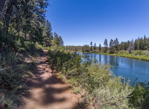
Deschutes River Trail: Benham Falls to Slough Meadow
5.04.51 mi / 364 ft gainDeschutes River Trail: Benham Falls to Slough Meadow is an out-and-back trail that takes you by a river located near Bend, Oregon.Read more -
Bend, Oregon
Bike or Hike The Deschutes River Trail
22 mi / 1280 ft gainThe Deschutes River Trail is a must do mountain bike ride or hike in between Sunriver and Bend, Oregon. The river varies from calm water to waterfalls. The trail follows along the river and goes through pine forests, meadows, and lava flows. Most of the single track is smooth with a few more tech...Read more -
Deschutes County, Oregon
Dee Wright Observatory
4.70.93 mi / 20 ft gainOn your way to Proxy Falls from Bend? Stop by the Dee Wright Observatory to take some photos of the gorgeous mountains. The Observatory is at the summit of McKenzie Pass in Oregon's Cascade Mountains. Built right in the middle of a large lava flow, the open structure itself is actually construct...Read more -
Jefferson County, Oregon
Hike Canyon Creek Meadow and 3 Fingered Jack
5.0This hike is truly spectacular from the moment you step foot out of your car. Jack Lake lies at the beginning of the trail, and provides a beautiful sample of what's to come. Stop and take pictures if you feel so inclined, but don't stop here to camp, because it gets a LOT better!Follow the trail...Read more -
Bend, Oregon
Mountain Bike Lava Lands Blackrock Trail to Benham Falls
Blackrock Trail starts at the Lava Lands Visitor Center, which is about a 5-mile drive south of Bend on Highway 97. You can park at the Lava Lands Visitor Center and then take the trail marked Sun-Lava Trail. This will take you to Blackrock Trail, which you will see as a turn-off to the right abo...Read more -
Deschutes County, Oregon
Broken Top Trail to No Name Lake
4.74.84 mi / 1198 ft gainThe hike takes you along a glacial lake and to unbeatable mountain views at the end. It’s a hidden gem! The trail isn’t marked and the best way to get there is know someone that’s been before. The lake is unbelievably beautiful with deep blue glacial water and the view of the mountains at the end...Read more -
Bend, Oregon
Explore the Lava River Cave
5.0Located just 12 miles South of Bend and 5 miles Northeast of Sunriver in the Deschutes National Forest, the Lava River Cave is a unique experience the whole family can enjoy. To get there from Bend, drive South on Highway 97 for about 10 miles until you see a large sign for the Lava Lands Visitor...Read more

