Linn County, Oregon
Looking for the best chillin in Linn County? We've got you covered with the top trails, trips, hiking, backpacking, camping and more around Linn County. The detailed guides, photos, and reviews are all submitted by the Outbound community.
Top Chillin Spots in and near Linn County
-
Idanha, Oregon
Hike up the South Slopes of Mount Jefferson
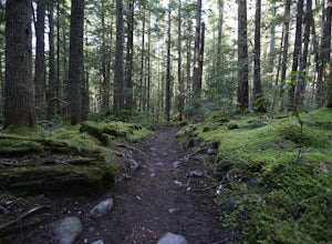
15 mi / 7400 ft gainSet out from Pamelia Lake Trailhead through dense old growth forest. You'll see giant cedars, mixed firs and stunning mountain streams carving their way thru very green forest. After a couple miles, you'll reach Pamelia Lake. This is a great place to grab a snack, water, take photos and camp if y...Read more -
Deschutes County, Oregon
Dee Wright Observatory
4.70.93 mi / 20 ft gainOn your way to Proxy Falls from Bend? Stop by the Dee Wright Observatory to take some photos of the gorgeous mountains. The Observatory is at the summit of McKenzie Pass in Oregon's Cascade Mountains. Built right in the middle of a large lava flow, the open structure itself is actually construct...Read more -
Deschutes County, Oregon
Camp at Lava Lake
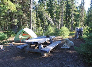
4.5Beautiful spot to set your tent up for a night or longer.About 12 spots scatter the immediate campground area, but while hiking we spotted several more dispersed throughout the towering Ponderosa Pine trees. Most of the spots circle a small lake. The ground in this site is a VERY soft dirt, perfe...Read more -
Deschutes County, Oregon
Summit Black Crater
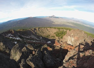
5.08 mi / 2211 ft gainThe Black Crater Trailhead parking lot is accessed off the McKenzie Pass (Hwy 242). The trailhead starting elevation is 5,040ft. (using the iPhone app "Topo Maps". Great app) with a 3.8 Mile hike one way to the Black Crater Summit at 7,251ft of elevation. Some parts of the trail are steep and g...Read more -
Corvallis, Oregon
Explore the Finley Wildlife Refuge
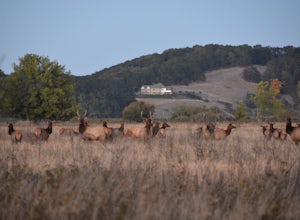
4.3Starting at the visitor center, the trail begins west heading into the forest where you’ll only gain around a couple hundred feet of elevation. While you are hiking on this trail you are surrounded by conifer trees, little open areas of sitting water, and look outs that are hidden within the trai...Read more -
Deschutes County, Oregon
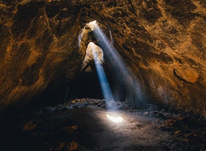
Skylight Cave
4.40.2 mi / -25 ft gainThe hardest part about getting to Skylight Cave is the drive. Start by coming from Sisters, Oregon, and use the driving directions below to find it. The Google Maps pin is accurate, and if you like coordinates, you can use 44°20'55.3"N 121°42'55.9"W as well. It's recommended you download an offl...Read more -
Clackamas County, Oregon
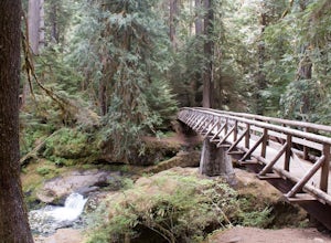
Bagby Hot Springs
4.32.91 mi / 397 ft gainBagby Hot Springs is actually a set of amazing bathhouses nestled in the forest outside of Estacada. They are one of Oregon’s most poplar hot springs, and for good reason. The hike into the hot springs is easy and quite scenic. You’ll cross a bridge over Nohorn Creek and follow the Hot Springs Fo...Read more -
Camp Sherman, Oregon
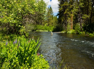
Fly Fishing the Metolius
5.0If there were a river in heaven it would be the Metolius. This gem located near Sisters Oregon offers year-round fly-fishing (only) to anyone who wishes to do so. The area offers multiple types of accommodations from tent camping to staying in resort-like cabins on the river. The best time to go...Read more -
Marion County, Oregon
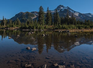
Hike Mt. Jefferson's Park Ridge
5.07.4 mi / 1500 ft gainFrom the Breightenbush Lake PCT trailhead (5,600ft Elevation) you hike through a thick forest until you reach an old burn area. This area was burned from a forest fire and has rebirthed lush green plants and bushes to help feed all the animals in the area. After a mile of climbing through the bur...Read more -
Camp Sherman, Oregon
Hike the West Metolius River Trail
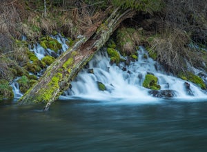
8 mi / 280 ft gainThe West Metolius River trail is one of the finest river trails in Central Oregon due to its easy terrain, beautiful blue water, volcanic spring fed waterfalls, and forest views. The hike starts just downstream from the Lower Canyon Creek Campground, where there is a bathroom and some picnic tab...Read more -
Deschutes County, Oregon
Hike to Moraine Lake Beneath South Sister
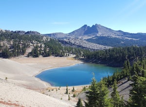
5.05 mi / 1476 ft gainThe lake is less than 3 miles from Devils Lake. Starting from the Trail head along Cascade Lakes Highway you gain 1,476 feet of elevation. You will follow the South Sisters Climbers trail, it is well traveled, and well marked. The majority of the elevation gain occurs in the first two miles, as y...Read more -
Dorena, Oregon
Hike to Spirit, Moon, and Pinard Falls
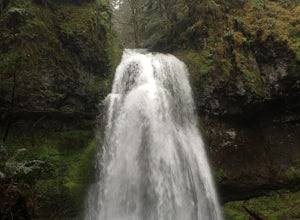
4.22.8 mi / 630 ft gainSpirit Falls is the first stop on this adventure. From the parking pull-out walk a short distance of 0.4 miles to the 40 foot fan falls. Don't let the small size deter you, this is a pretty little falls, with a lovely stroll through an old growth forest and beautiful little trilliums. There is a ...Read more -
Bend, Oregon
Camp at Todd Lake
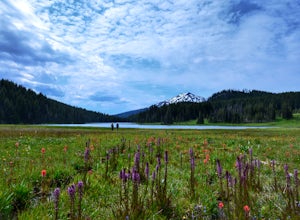
4.0Todd Lake is a beautiful yet small lake just 24 miles West of Bend. Its location is perfect for accessing Broken Top Mountain, and even better for the view of Mount Bachelor.Spend a day at Todd Lake and enjoy fishing (mostly rainbow trout), swimming, and free access to three different locations o...Read more -
Bend, Oregon
Hike Tam McArthur Rim Trail
5.05.2 mi / 1500 ft gainThe Tam McArthur Rim Trail is a day hike in the Three Sisters Wilderness that will have you gaining about 1,500' of elevation for beautiful views of Three Creek Lake and the surrounding Three Sisters Mountains. On a clear day you can also catch a peak of Mt. Bachelor Ski Area. The trail is less ...Read more

