Jefferson County, Oregon
Top Spots in and near Jefferson County
-
Government Camp, Oregon
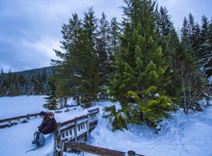
Snowshoe or Cross-Country Ski to Trillium Lake
5.03.6 miStarting at the parking lot for Trillium Lake located right off of Highway 26, go past the locked gate and begin walking downhill. After about a mile, you will see a fork in the road. Either way will eventually take you to the lake, but going left will be much quicker and take you to the best spo...Read more -
Clackamas County, Oregon
Salmon River Trail
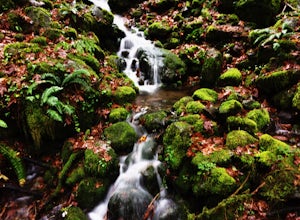
4.54.4 mi / 50 ft gainLargely Flat Trail4.4 Miles roundtripOld Growth ForestRiver Scouting Opportunities There are seven trailheads all off to the right of E. Salmon River Road. All are easily accessible under normal conditions. The hike meanders alongside the river, providing ample opportunities to scout the river's...Read more -
Rhododendron, Oregon
Frustration Falls
3.08.26 mi / 1854 ft gainThe hike and possible rappel to Frustration Falls begins at the Salmon River trailhead right outside of Welches, Oregon. From the trailhead you follow the trail for about 4 miles at which point you reach Canyon View (Shown in pictures 5-6 above). From the main trail this is the only view of Frust...Read more -
Government Camp, Oregon
Snowshoe Tom, Dick, and Harry
5.08 mi / 1710 ft gainYour day of adventure will start at the Skibowl West parking lot. Unfortunately, due to snowplowing, the roadside parking to the Mirror Lake trailhead is covered in snow. If you are doing this hike in the summer, be sure to check out this adventure: Climb Tock, Dick, and Harry Mountain!After you ...Read more -
Linn County, Oregon
Koosah Falls Trail
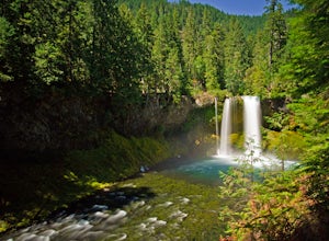
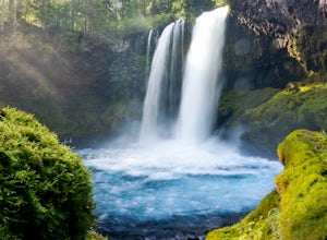
5.00.86 mi / 180 ft gainKoosah Falls Trail is an out-and-back trail that takes you by a waterfall located near Sisters, Oregon.Read more -
Sisters, Oregon
Sahalie and Koosah Falls Loop
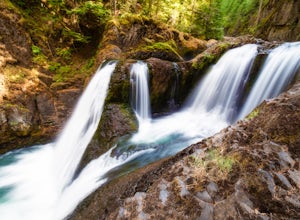
4.82.42 mi / 545 ft gainThis loop might be on the shorter side, but the hike is more than worth it for the scenery. Start at Sahalie Falls, a 100-foot tall waterfall pouring into the river below and covering the moss-covered valley with cool mist. Continue down the trail, walking past the 70-foot Koosah Falls, and finis...Read more -
Government Camp, Oregon
Tom Dick and Harry Mountain
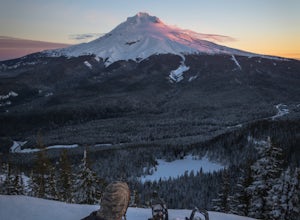
5.08.28 mi / 1726 ft gainLooking to score those iconic photos of Mt. Hood? Climb the well-graded trail to Tom Dick and Harry Mountain, one of the most accessible summit hikes to Portlanders, and see where they were all taken. Starting from the busy Mirror Lake Trailhead, climb roughly 900 feet and 1.5 miles to Mirror La...Read more -
Government Camp, Oregon
Mirror Lake Trail
4.54.09 mi / 810 ft gainI was out doing the Ramona Falls hike, and I decided that I needed to find a lake that provided me with a great view of Mt Hood. My first stop was Trillium Lake, but with that being a “drive up” lake, there were tons of people. Tons of people only means one thing…turbulent waters! As I was dr...Read more -
Foster, Oregon
Iron Mountain
4.71.79 mi / 610 ft gainGetting There There are a couple of different routes to the summit of Iron Mountain. This adventure article focuses on the shorter but more strenuous hike to the summit of Iron Mountain. To get there, drive to the upper trailhead (Trail # 3389) via Highway 20. Take Forest Service Road (FSR) 035 ...Read more -
Mount Hood, Oregon
Snowshoe Mt. Hood's White River
5.04 mi / 800 ft gainThe White River West Sno-Park is a hub of winter activities at Mt. Hood. At 4200', this area is easily accessed directly off of Route 35. The large parking lot fills up quickly on snowy weekends so arrive early to get a spot and make sure that you have an Oregon Sno-Park Permit*.The White River r...Read more -
White River West Sno-Park, Oregon
Snowshoe Pacific Crest Trail at White River West
3.4 mi / 800 ft gainPark at White River West Sno-Park. Walk to the north end of the parking lot. Start a very brief way up the White River Trail. After 100-200 feet, step off the main trail, to your left, and head into the woods for some solitude. To get to the Pacific Crest Trail, look for the blue diamond trail ma...Read more -
Rhododendron, Oregon
Little Zig Zag Falls
5.00.66 mi / 131 ft gainThe hike along Little Zig Zag River is definitely one of Oregon's hidden gems. Although the waterfall isn't as highly rated in comparison to other impressive falls like Multnomah Falls, Abiqua Falls, or Bridal Viel Falls, it is still quite the sight to see, and most definitely worth the visit. T...Read more -
National Forest Development Road 3550, Oregon
Snowshoe/Ski Bennett Pass Sno Park
5.1 mi / 900 ft gainWith easy parking right off Hwy 35 on the east side of Mt Hood, Bennett Pass is a perfect destination for a straightforward lap on cross country skis, snowshoes or accessing easy backcountry terrain for skiers and boarders. Bennett Pass Road is a well-graded 5.1 mile out-and-back with several tr...Read more -
Government Camp, Oregon
Climb the Mt. Hood Summit
4.87 mi / 5239 ft gainStarting at 6,000 ft of elevation at Timberline Lodge, start your climb up the south side of Mt. Hood. If you head out at noon, in 6 hours you can make it about an hour past the last ski lift, called Palmer, where you can set up camp for the night. You may need to dig out a flat spot for your ten...Read more -
Government Camp, Oregon
Hike Paradise Park
5.012 mi / 2300 ft gainThe hike begins at Timberline Lodge, which sits on Mount Hood at 6,000 feet of elevation. Find the Timberline trail behind the lodge by following any of the maze of trails heading east and you will be on your way! After 1.2 miles, you reach Little Zigzag Canyon where you will descend approximatel...Read more -
Government Camp, Oregon
Climb to Mt. Hood's Illumination Rock
5.06 mi / 3600 ft gainThe Pacific Northwest has an abundance of beautiful, technical and fun Alpine ascents. For those looking to feel the rush of mountaineering but not wanting to push for a summit attempt, Illumination Rock on the southwest ridge of Mt Hood, offers a beautiful way to spend an afternoon or potential...Read more

