Jefferson County, Oregon
Top Spots in and near Jefferson County
-
Lane County, United States
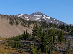
Backpack the Obsidian Area
4.46 mi / 1800 ft gainThe Obsidian area is at least six miles from the closest trail head and 1800 feet of elevation gain. The best way to see the area is to plan a multi-day backpacking adventure. It is limited entry which is strictly enforced by the Forest Service. Only 30 day hikers and 40 overnight hikers are al...Read more -
Mount Hood, Oregon
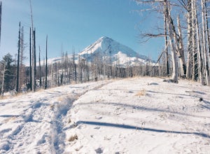
Snowshoe to the Tilly Jane A-Frame
5.02.7 mi / 1900 ft gainBuilt in the 1930's, the Tilly Jane A-Frame sits on the North side of Mount Hood at around 6,000ft. The cabin is very popular during winter months as it is located only 1,000ft below the tree line and offers beautiful snowshoeing, hiking, skiing and snowboarding opportunities, yet is also a popul...Read more -
Silverton, Oregon
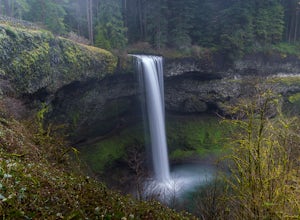
Camp in Silver Falls State Park
4.68.7 mi / 1300 ft gainIf you're thinking of hiking the Trail of Ten Falls Loop and staying overnight, there are 42 tent campsites (available from April – Oct) as well as 14 rustic cabins. With multiple beds, heat, electricity, a covered porch, and a small fridge, they provide the perfect respite after a long day of ex...Read more -
Drake Crossing, Oregon
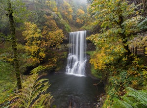
Trail of Ten Falls Loop
4.77.16 mi / 1178 ft gainThe unique feature of South Falls, Lower South Falls, and Middle North Falls are the paths that pass behind the falls providing an amazing visual and auditory experience; however, be sure to have a good bag for your equipment to avoid water damage and a decent jacket (preferably water-resistant)....Read more -
Mount Hood, Oregon
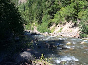
Dry Fly Fishing the East Fork of Hood River
4.0This river may be a bit under the radar at the moment but not for long. This section doesn't have the big fish, that the main fork of the Hood River does but it will keep you busy with modest active trout perfect for a 3 or 5 weight rod in the summer time and a dry fly. It's a great beginner &...Read more -
Deschutes County, Oregon
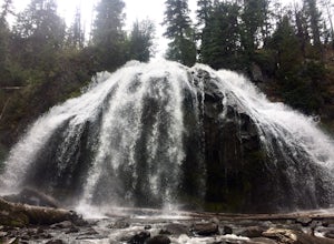
Chush Falls
3.35.75 mi / 823 ft gainJust outside of Sisters, Oregon, near Bend, is a beautiful hike to a picturesque waterfall. It is rarely crowded thanks (and no thanks) to the Pole Creek Fire, which ravaged the area several years ago. Because of the fire, the hike and landscape have been drastically altered. What used to be a 2-...Read more -
Cascadia, Oregon
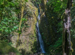
Hike to Soda Creek Falls
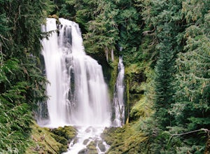
5.01.5 mi / 370 ft gainSoda Creek Falls flows 150 feet down a curvy basalt rock groove at Cascadia State Park. The trail follows Soda Creek through a lush Oregon rain forest. The site was a former hotel and health spa with the mineral water from the creek as the main attraction. The park has a small campground, and pic...Read more -
Terrebonne, Oregon
North Point Loop
5.00.43 mi / 13 ft gainNorth Point Loop is a loop trail that takes you by a river located near Terrebonne, Oregon.Read more -
Lane County, Oregon
Linton Falls
4.54 mi / 900 ft gainNOTE: There is no development of viewing areas or trails, which makes for more of a wilderness experience than other waterfalls in the region. There may also be fallen trees blocking the trail, making this adventure more challenging. Hiking to Linton Falls accounts for the two larger waterfalls...Read more -
Terrebonne, Oregon
Misery Ridge Trail
5.02.58 mi / 919 ft gainMisery Ridge Trail is an out-and-back trail that takes you past scenic surroundings located near Terrebonne, Oregon.Read more -
Terrebonne, Oregon
Canyon Trail and Homestead Trail
2.38 mi / 466 ft gainCanyon Trail and Homestead Trail is an out-and-back trail that takes you by a river located near Terrebonne, Oregon.Read more -
Terrebonne, Oregon
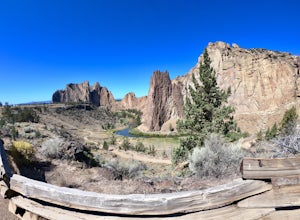
Misery Ridge Loop
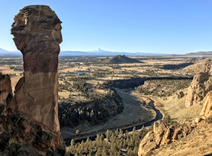
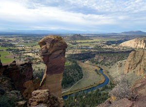
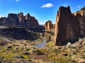
5.02.57 mi / 774 ft gainThis hike takes you on a tour of the park, starting out with a steep climb up to the top of the formations and then back down past Monkey Face and to the canyon floor. It's a very popular place so if you're hoping for solitude start early -- the light on the rock walls will be worth rising earl...Read more -
Terrebonne, Oregon
Summit Trail Loop at Smith Rock
4.66.87 mi / 1506 ft gainSmith Rock State Park is an iconic PNW canyon that's become one of the rock climbing capitals of the country, and known worldwide for its sport climbing routes. And while climbing draws crowds year-round, adventurers also visit for its trail system boasting sweeping Central Oregon volcano views. ...Read more -
Terrebonne, Oregon
Snow Camp at Smith Rock
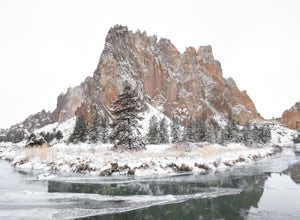
5.03 mi / 350 ft gainJust 140 miles southeast of Portland, and 27 miles north of Bend, lies a clustering of rocks more prominently referred to as Smith Rock.This intricate rock formation is a mecca for climbers during the warm summer months, however the landmark unveils a new face during the snowy season that few eve...Read more -
Terrebonne, Oregon
Smith Rock State Park Canyon Trail
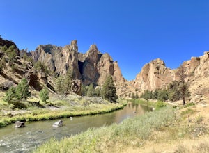
5.03.27 mi / 587 ft gainSmith Rock State Park Canyon Trail is an out-and-back trail that takes you past scenic surroundings located near Terrebonne, Oregon.Read more -
Terrebonne, Oregon
Smith Rock State Park Loop
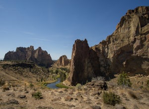
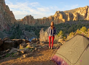
4.95.55 mi / 1325 ft gainPark your vehicle in the bivouac parking area and hike 200 yards west to the tent campsites. Set up your home away from home at one of the undesignated cliff side campsites overlooking the park. Although it is famous for rock climbing, Smith Rock also boasts an extensive trail system. The best h...Read more

