Falls City, Oregon
Top Spots in and near Falls City
-
Newport, Oregon
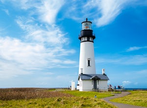
Explore the Yaquina Head Lighthouse
4.6The Yaquina Head Natural Area is home to the historic 93 ft tall Yaquina Head lighthouse, built in 1872. The construction of the lighthouse from approximately 370,000 bricks took nearly a year, and the lighthouse has been active ever since.The park is open daily, from 7am until sunset; however, i...Read more -
Cloverdale, Oregon
Cape Kiwanda State Natural Area
4.01.04 mi / 171 ft gainCape Kiwanda State Natural Area is a loop trail that takes you past scenic surroundings located near Cloverdale, Oregon.Read more -
Cloverdale, Oregon
Surf Pacific City
4.5From Pacific City, drive into the Pelican Brew Pub parking lot and right out on the beach to park (4x4 recommended, but not required). Suit up, and head out into the water. Sandy, cold water will greet you with occasional perfect swells to catch back to shore! Perfect for surfing, boogie boarding...Read more -
Cloverdale, Oregon
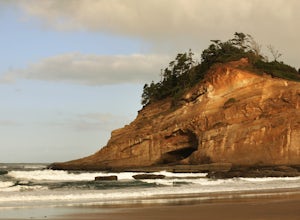
Explore Cape Kiwanda
4.8Cape Kiwanda is part of the Three Capes Scenic Route. It offers sea stack rock formations, beautiful beaches, sand stone cliffs, and if you are lucky enough, amazing wildlife. It is the home of the Pacific Dory Fleet.If you are early enough, you can catch the fisherman coming and going in the mys...Read more -
Saint Paul, Oregon
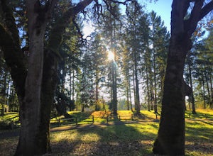
Hike the Champoeg SP Loop
5.03.4 mi / 120 ft gainChampoeg was the first town to be settled in the Willamette Valley and the site of the formation of the first government in the northwest. The park offers historical sites as well as plentiful camping and some short day hikes. I decided to do the Townsite loop with my family on black friday #opto...Read more -
Woodburn, Oregon
Explore the Woodburn Shoe Tulip Farm
4.0The Wooden Shoe Tulip Farm is open 9am-6pm and offers the public a chance to see their 40 acres of Tulips for a limited time during the year. Their tulip fest goes from late March to early May so double check to make sure they're open before you go.For $5 a person or $20 for a car this place off...Read more -
Monroe, Oregon
Alsea Falls and Green Peak Falls
4.32.4 mi / 269 ft gainThis is a great and easy day hike that features two waterfalls - Alsea Falls and Green Peak Falls - amid beautiful Oregon Coast Range scenery. This hike is perfect for a family trip as the trail is dog-friendly, the Alsea River serves as a swimming hole on hot days, and there is a picnic area jus...Read more -
Drake Crossing, Oregon
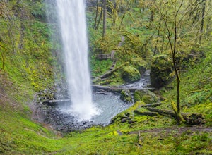
Trail of Ten Falls Loop
4.77.16 mi / 1178 ft gainThe unique feature of South Falls, Lower South Falls, and Middle North Falls are the paths that pass behind the falls providing an amazing visual and auditory experience; however, be sure to have a good bag for your equipment to avoid water damage and a decent jacket (preferably water-resistant)....Read more -
Silverton, Oregon
Camp in Silver Falls State Park
4.68.7 mi / 1300 ft gainIf you're thinking of hiking the Trail of Ten Falls Loop and staying overnight, there are 42 tent campsites (available from April – Oct) as well as 14 rustic cabins. With multiple beds, heat, electricity, a covered porch, and a small fridge, they provide the perfect respite after a long day of ex...Read more -
Silverton, Oregon
South Silver Falls
5.02.14 mi / 361 ft gainSouth Silver Falls is a loop trail that takes you by a river located near Silverton, Oregon.Read more -
Tillamook, Oregon
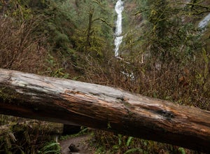
Short Hike to Munson Creek Falls
4.00.4 miLocated just outside of Tillamook, Oregon, Munson Creek Falls is a must do if you're in the area. Standing at almost 320 feet tall, Munson Creek Falls is one of few waterfalls in Oregon that is over 300ft tall.Because of heavy storms in the area there has been a build up of fallen trees around th...Read more -
Stayton, Oregon
Shellburg Falls
3.23.7 mi / 520 ft gainThis hike is currently closed due to fire damage. Please check the Oregon.gov website or the call the Oregon Department of Forestry (503-859-4344) for updates. The hike, including the initial 1.25 mile gravel road to the trailhead, is easy to complete within 1-2 hours and only requires a modera...Read more -
Scotts Mills, Oregon
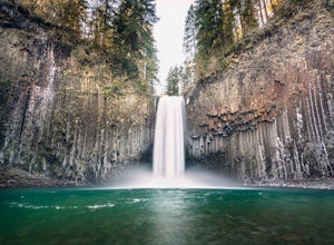
Abiqua Falls
4.90.69 mi / 115 ft gainThis trail is unmarked and a little rough and rugged. The land is privately owned by Mount Angel Abbey, but they don't appear to have problems with courteous hikers. Walking out of the parking area back up the road in the direction you came from, you’ll pass one dirt trail right at the ending of ...Read more -
Cloverdale, Oregon
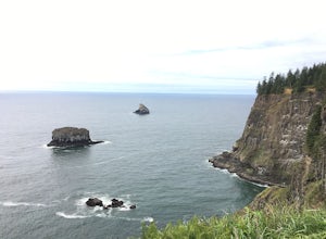
Cape Lookout
4.54.74 mi / 1135 ft gainCape Lookout is a two-mile long peninsula that juts into the Pacific Ocean from Oregon's rugged coastline. The park features more than 170 campsites, yurts, rustic cabins, and a day-use area, all located a short walk from the beach. There are roughly 10 miles of trails ranging from easy to mode...Read more -
Cloverdale, Oregon
North Trail
3.04.22 mi / 1053 ft gainThe North Trail at Cape Lookout State Park in Oregon is a challenging (hilly) route with beautiful views of the Pacific Ocean. Start at trailhead along Cape Lookout Road. There are 3 trails available, North, Cape Lookout, and South trails. Follow signs for the North trail. The trail drops stee...Read more -
Scotts Mills, Oregon
Upper Butte Creek Falls
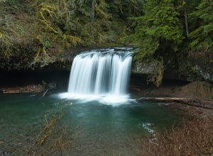
4.00.73 mi / 308 ft gainFrom Scott Mills Follow Crooked Finger RD NE for 13.3 Miles to the Upper Butte Creek Trailhead. The last 2-3 miles or so is gravel road with some potholes but most cars shouldn't have a problem. The path down to the falls starts near the bathrooms. A short .3 mile walk on a few switchbacks and...Read more

