Culver, Oregon
Looking for the best photography in Culver? We've got you covered with the top trails, trips, hiking, backpacking, camping and more around Culver. The detailed guides, photos, and reviews are all submitted by the Outbound community.
Top Photography Spots in and near Culver
-
Bend, Oregon
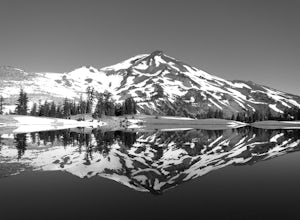
Green Lakes Trail
4.79.19 mi / 1240 ft gainThis 8.5 mile roundtrip hike to Green Lakes basecamp gains elevation gradually as it meanders along beautiful Fall Creek with numerous small cascades. Depending on the season (expect significant snow on the trail through early-to-mid June) the stark contrast of the snow with creek is beautiful, t...Read more -
Bend, Oregon
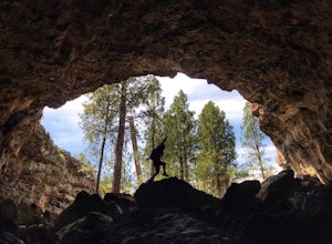
Explore Arnold Ice Caves
4.00.95 mi / 26 ft gain...Deep in the central Oregon Forest is a cave that is surrounded by Juniper Trees, Ponderosa Pines and the landscape of a secret volcanic underground world! This short hike is located roughly 12 miles East of Bend, and makes for an epic adventure for all to enjoy. A little history on the cave.....Read more -
Lane County, Oregon
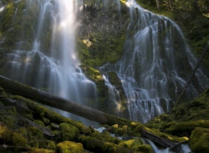
Proxy Falls
5.01.51 mi / 374 ft gainThis is one of the most amazing waterfalls in Oregon. The size is unbelievable – especially when you’re standing right underneath it, which I would recommend anyone to do (just be prepared for a misty shower) The hike is Easy! It’s only about 2 miles round trip. I remember going here when I was ...Read more -
Linn County, Oregon
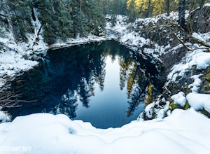
Tamolitch Blue Pool
5.03.56 mi / 253 ft gainThe hike out to Tamolitch Pool, or "Blue Pool," is 2 miles each way and follows the McKenzie River to a lava flow pool. Off Highway 126 14 miles east of McKenzie Bridge, turning into the Trailbridge Campground, drive right 1/3 of a mile to the trailhead. The trail is relatively flat, which gives ...Read more -
Lane County, Oregon
Substitute Point via Foley Ridge Trail
9.75 mi / 1900 ft gainThis is a viewless hike until you reach Substitute Point. You are then rewarded with an amazing view. From the trailhead (#3511) you will travel 4.3 miles on an unmaintained trail into the Three Sisters Wilderness to the junction of Substitute Point. The trail has lots of fallen trees you must c...Read more -
Bend, Oregon
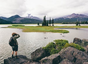
Camp Along the Shore at Sparks Lake
4.5Just a quick 26-mile drive from Bend you'll find Sparks Lake, where shallow water, amazing lakeside camping grounds, and the possibility of catching a glimpse of the Aurora Borealis make for some of the best weekend camping in Oregon.Pay for a site or park along the road before you come to the "C...Read more -
Bend, Oregon
Boat-In Camping at Sparks Lake
5.0Looking for the beauty and serenity of a backcountry campsite, but with the convenience of car camping? These 20+ secluded paddle-in campsites along the shoreline of Sparks Lake are just for you. Park your car, load up your watercraft of choice with all of your camping supplies, and paddle out to...Read more -
Maupin, Oregon
Fly-Fishing the Lower Deschutes River
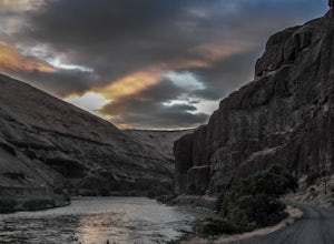
5.0Spending a day on the lower Deschutes is as rewarding as it gets for a fly-fisherman. The canyon is incredibly beautiful, and the fish are some of the most colorful and athletic you can catch.The mighty Deschutes River is a stunning, blue-ribbon river where people come to fly-fish from around the...Read more -
Mitchell, Oregon
Walk the Painted Cove Loop Trail
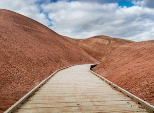
4.00.2 mi / 40 ft gainTo get to the trailhead, use the US highway 26 which is the only way you can go to the Painted Hills Unit. Make a turn when arriving at Burnt Ranch Rd junction. Drive up and follow the sign around 6 miles. The trail junction is where you passed the Carroll Rim Trail and Painted Hill Overlook. Tur...Read more -
Foster, Oregon
Iron Mountain
4.71.79 mi / 610 ft gainGetting There There are a couple of different routes to the summit of Iron Mountain. This adventure article focuses on the shorter but more strenuous hike to the summit of Iron Mountain. To get there, drive to the upper trailhead (Trail # 3389) via Highway 20. Take Forest Service Road (FSR) 035 ...Read more -
Mitchell, Oregon
Photograph the Painted Hills
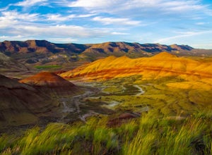
4.5The Painted HIlls is the most dramatic of the three units that make up John Day Fossil Beds National Monument. Any trip to Eastern Oregon via Rt 26 requires a stop at the Painted HIlls to take in the unique landscape.John Day Fossil Beds are fee-free and as you enter you will see an area with bat...Read more -
Marion County, Oregon
Gold Butte Fire Lookout
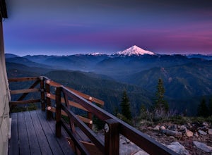
4.32.44 mi / 741 ft gainGold Butte Fire Lookout is a real gem in the Willamette National Forest. At 4618 feet elevation, the nearby Cascade Mountain views are nothing short of spectacular! At the summit, sits a L-4 Ground Structure Type Fire Lookout that was built in1934 to be used as a Fire Lookout. Additionally, durin...Read more -
Clackamas County, Oregon
Camp at Timothy Lake
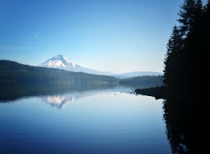
4.5Timothy Lake is one very large, man-made lake in the heart of Mt. Hood National Forest, and can be considered one of the best summer camping spots in the area. With more than ten campgrounds to choose from, this area can accommodate almost every type of camping possible - everything from cabin re...Read more -
Detroit, Oregon
Battle Ax Mountain
5.05.09 mi / 1594 ft gainWith no officially marked trailhead, this hike begins slightly west of Elk Lake in Marion County. Take Highway 22 to Detroit, OR. East of the bridge over Breitenbush River, turn onto (FR) Forest Road 46, with signs pointing to Breitenbush River. After 4.5 miles turn left at a sign for Elk Lake, a...Read more -
Maupin, Oregon
White River Falls
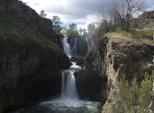
4.40.78 mi / 177 ft gainWhite River Falls is perfect for those looking for an easy hike with great rewards. From the parking lot, it is a brisk walk to a view point, where you can immediately take in the gorgeous falls! To get down to the bottom of the falls, turn left and begin walking down the trail. You will cross a...Read more -
Maupin, Oregon
Explore White River Falls State Park
White River Falls is located 35 miles south of The Dalles and 4.5 miles east of Tygh Valley. With only a short walk from the parking area to the viewing area and trails leading down to the water.White River Falls, which is the furthest upstream, drops about 75 feet with multiple channels, and at ...Read more

