Cottage Grove, Oregon
Looking for the best photography in Cottage Grove? We've got you covered with the top trails, trips, hiking, backpacking, camping and more around Cottage Grove. The detailed guides, photos, and reviews are all submitted by the Outbound community.
Top Photography Spots in and near Cottage Grove
-
Dorena, Oregon
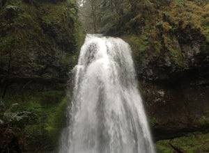
Hike to Spirit, Moon, and Pinard Falls
4.22.8 mi / 630 ft gainSpirit Falls is the first stop on this adventure. From the parking pull-out walk a short distance of 0.4 miles to the 40 foot fan falls. Don't let the small size deter you, this is a pretty little falls, with a lovely stroll through an old growth forest and beautiful little trilliums. There is a ...Read more -
Douglas County, Oregon
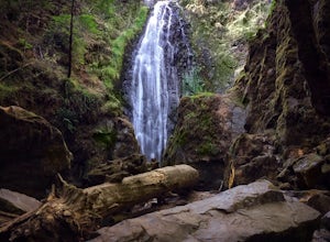
Hike to Susan Creek Falls
4.01.9 mi / 434 ft gainThis hike starts at the main parking lot about a mile away from the falls. The falls are accessed via a very easy, well graded trail developed and maintained by the Oregon BLM.The hike through the forest and pine trees make it for a fantastic and fairy tale-like hike. When you arrive at Susan Cre...Read more -
Blachly, Oregon
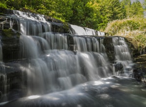
Triangle Lake Rock Slides and Lake Creek Falls
4.7Stay cool on a hot summer day with a natural rock water slide, multiple swimming hole areas, and multiple waterfalls. This is perfect for relaxing in the sun! The sign for the parking area is upstream of the falls. There is a store across from the lake if you need any last minute food and drinks...Read more -
Monroe, Oregon
Alsea Falls and Green Peak Falls
4.32.4 mi / 269 ft gainThis is a great and easy day hike that features two waterfalls - Alsea Falls and Green Peak Falls - amid beautiful Oregon Coast Range scenery. This hike is perfect for a family trip as the trail is dog-friendly, the Alsea River serves as a swimming hole on hot days, and there is a picnic area jus...Read more -
Mapleton, Oregon
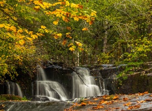
Hike to Sweet Creek Waterfall
4.82.2 mi / 100 ft gainMake sure you add this hidden gem to your waterfall chasing plans on your road trip to Oregon. This underrated Oregon waterfall is the perfect hike for the entire family. The trail offers four different falls from 10-30 feet high. The trail slowly climbs 2.2 miles through a beautiful thick forest...Read more -
Corvallis, Oregon
Explore the Finley Wildlife Refuge
4.3Starting at the visitor center, the trail begins west heading into the forest where you’ll only gain around a couple hundred feet of elevation. While you are hiking on this trail you are surrounded by conifer trees, little open areas of sitting water, and look outs that are hidden within the trai...Read more -
Lane County, Oregon
Salt Creek Falls
4.50.65 mi / 141 ft gainLocated off of the 58 Freeway, Salt Creek Falls is the second tallest waterfall in Oregon. The powerful cascade pours into a scenic canyon below, with beautiful surrounding views. You can drive almost right up to the falls, which is either great or anti-climactic, depending on your outlook. Turn...Read more -
Cascade Summit, Oregon
Diamond Creek Falls
5.02.92 mi / 443 ft gainThe beginning of this trail starts at the parking lot of Salt Creek Falls, right off of the 58 freeway. During the winter months, there's a gate blocking the road to the parking lot. You can park at the gate and it's a 0.6 mile walk to the beginning of the Salt Creek Falls trailhead. If you haven...Read more -
Clearwater, Oregon
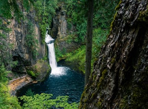
Toketee Falls
4.60.79 mi / 98 ft gainToketee Falls is one of the most famous waterfalls in all of Oregon, renowned for the graceful columnar basalt formation framing the two-stepped falls. The North Umpqua River has carved a sinuous gorge out of the lava flow, resulting in a waterfall of 113 feet in height - a 28 foot upper tier whi...Read more -
Coos Bay, Oregon
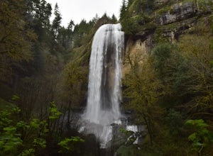
Hike through Golden and Silver Falls State Natural Area
4.53 mi / 570 ft gainGetting here was half the adventure. Google led us in quite the wrong way. Whatever you do, approach this park from Allegany, outside of Coos Bay. From Allegany there are signs to the park. The road is about 9 miles from here. Drive until the road dead ends with cement blocks. Here you will have ...Read more -
Douglas County, Oregon
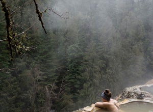
Umpqua Hot Springs
3.70.52 mi / 108 ft gainWhen you arrive at the hot springs you'll see a bathroom and large dumpster in a small gravel parking lot. From the parking lot you'll see a bridge which leads to the trail up to the springs. Its a 0.25 mile walk up to seven different pools, sitting 150ft. above the North Umpqua River. All the ho...Read more -
Lebanon, Oregon
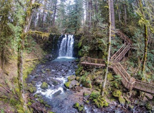
Hike McDowell Creek County Park
4.9GPS coordinates Lat: 44.46389 Long: -122.68278Exit off I-5 in Albany onto Highway 20 and proceed for approximately 20 miles to McDowell Creek Road and turn left, follow McDowell Creek Road - watching for signs for the park - for about 6 ½ miles, to the first of three parking areas within the park...Read more

