Beavercreek, Oregon
Top Spots in and near Beavercreek
-
Washougal, Washington
Cape Horn Trail
4.36.76 mi / 1795 ft gainThe Cape Horn Trail is great for those who are short on time, but still want to get outside for something close by with great views. Located just 35 min east of Portland, the Cape Horn Trail offers a few different possibilities for you to hike. The whole loop (lower section is closed from Feb 1s...Read more -
Portland, Oregon
A Quick Escape to Sauvie Island
3.5During those summer days when you’re desperately seeking some sand between your toes, open space to soak up the sun, and nature to play around in…Sauvie Island is calling your name. Located just 10 miles outside of downtown Portland, Sauvie Island offers a convenient rural escape that’s just begg...Read more -
Corbett, Oregon
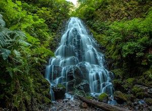
Fairy Falls
4.82.02 mi / 1293 ft gainFairy Falls sits in the heart of the Columbia River Gorge, not much more than a mile from the Wahkeena Trailhead. The parking lot is right off the Old Columbia River Highway and will be packed with cars in the summer. Head up the trail towards Wahkeena Falls, which is not far up the hill. This f...Read more -
Corbett, Oregon
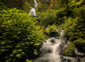
Wahkeena Falls
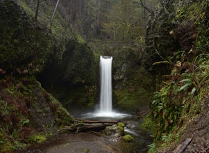
4.00.48 mi / 427 ft gainThis Waterfall is located along the Colombia River Gorge and is surrounded by many other, much more trafficked waterfalls so it gets a lot fewer visitors. This is a beautiful spot to relax at, take photos, and get away from some of the crowds. The bottom of the falls end right at the parking lot ...Read more -
Cascade Locks, Oregon
Multnomah-Wahkeena Loop
4.35.11 mi / 2162 ft gainThe Multnomah-Wahkeena loop is a classic hike in the Columbia Gorge. Few hikes take you by as many waterfalls, and the tree cover makes it a great hike in the rain. Starting at the Multnomah Falls Parking Area, head to the main viewing area of Multnomah Falls. If you get there early in the morn...Read more -
Cascade Locks, Oregon
Larch Mountain's Summit
4.013.28 mi / 4629 ft gainDone as a loop or one way shuttle (in summer/fall), the full Larch Mountain experience starts at the large (but still always full) Multnomah Falls parking lot. There you'll have the chance to grab a final snack, use the restroom, and fill water bottles before joining all the "tourist" hikers on t...Read more -
Cascade Locks, Oregon
Wiesendanger Falls
3.02 mi / 1591 ft gainYou can get on the trail in about 45 minutes from Portland and 35 minutes from Hood River via I-84. Once you get out of your car in the Multnomah Falls parking lot, head over to the historic Multnomah Falls Lodge. This is a neat place to check out after your hike. Then, follow the crowds to the ...Read more -
Multnomah County, Oregon
Multnomah Falls
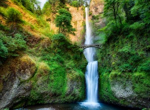
4.22.61 mi / 1214 ft gainMultnomah Falls is worth a quick stop anytime you're visiting the Columbia River Gorge National Scenic Area in Oregon. This waterfall is the tallest in Oregon at 620 feet and the third largest in the Pacific Northwest behind Bridal Veil Falls (1,289 feet) and Green Lake Falls (979 feet) and has a...Read more -
Vancouver, Washington
Kayak Vancouver Lake
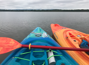
This is a lovely shallow lake for kayaking with spectacular views of Mt Hood and Mt St. Helens on clear days. It’s an ideal spot for beginners to learn water sports including, kayaking, canoeing, paddle boarding and swimming. There is a beach and park available for those afternoon picnics and nap...Read more -
Silverton, Oregon
Camp in Silver Falls State Park
4.68.7 mi / 1300 ft gainIf you're thinking of hiking the Trail of Ten Falls Loop and staying overnight, there are 42 tent campsites (available from April – Oct) as well as 14 rustic cabins. With multiple beds, heat, electricity, a covered porch, and a small fridge, they provide the perfect respite after a long day of ex...Read more -
Drake Crossing, Oregon
Trail of Ten Falls Loop
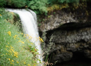
4.77.16 mi / 1178 ft gainThe unique feature of South Falls, Lower South Falls, and Middle North Falls are the paths that pass behind the falls providing an amazing visual and auditory experience; however, be sure to have a good bag for your equipment to avoid water damage and a decent jacket (preferably water-resistant)....Read more -
Rhododendron, Oregon
Frustration Falls
3.08.26 mi / 1854 ft gainThe hike and possible rappel to Frustration Falls begins at the Salmon River trailhead right outside of Welches, Oregon. From the trailhead you follow the trail for about 4 miles at which point you reach Canyon View (Shown in pictures 5-6 above). From the main trail this is the only view of Frust...Read more -
Clackamas County, Oregon
Salmon River Trail
4.54.4 mi / 50 ft gainLargely Flat Trail4.4 Miles roundtripOld Growth ForestRiver Scouting Opportunities There are seven trailheads all off to the right of E. Salmon River Road. All are easily accessible under normal conditions. The hike meanders alongside the river, providing ample opportunities to scout the river's...Read more -
Clackamas County, Oregon
Bagby Hot Springs
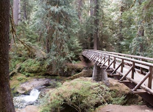
4.32.91 mi / 397 ft gainBagby Hot Springs is actually a set of amazing bathhouses nestled in the forest outside of Estacada. They are one of Oregon’s most poplar hot springs, and for good reason. The hike into the hot springs is easy and quite scenic. You’ll cross a bridge over Nohorn Creek and follow the Hot Springs Fo...Read more -
Silverton, Oregon
South Silver Falls
5.02.14 mi / 361 ft gainSouth Silver Falls is a loop trail that takes you by a river located near Silverton, Oregon.Read more -
Corbett, Oregon
Triple Falls
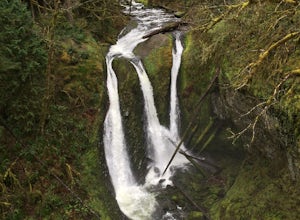
4.53.4 mi / 1168 ft gainAccess to Triple Falls is currently closed. Learn more on the Forest Service Site. This hike, starting at the Oneonta Trailhead is a 3.2 mile roundtrip. You will gain approximately 600 feet in elevation as the trail often switches from moderate flat easy hiking to more difficult elevation gain a...Read more

