Beavercreek, Oregon
Top Spots in and near Beavercreek
-
Camas, Washington
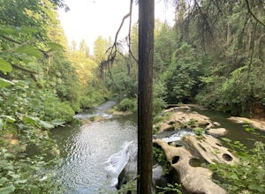
Explore Camas Pothole Falls
4.00.5 mi / 0 ft gainThis is on the Round Lake Loop trail and there’s a free parking area. It’s a relatively in and out hike that is family friendly but does have some downhill scrambles. Be careful when jumping as there has been fatalities in the past but as long as you’re practicing safe swimming you’ll be okay.Read more -
Corbett, Oregon
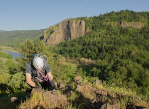
Climb Rooster Rock
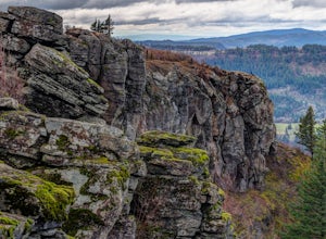
5.0Head to Rooster Rock State Park off exit 25 on I-84 E in the Columbia River Gorge. Park at the west end of the park.There are multiple paths at the west end of the park heading south to I-84. If you go too far west, you will hit water. Pick one of these paths which lead to the edge of the freeway...Read more -
Camas, Washington
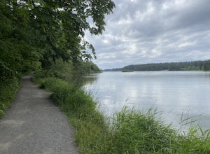
Hike Lacamas Heritage Trail
5.03.5 mi / 139 ft gainUsed often for cross country practice, the Lacamas Heritage Trail is a popular gem in Camas, Washington for all citizens. It is family and dog friendly and comes with endless scenic views of the beautiful Lacamas Lake. Parking is free and there are bathrooms at the entrance.Read more -
Camas, Washington
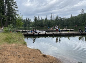
Kayak Lacamas Lake
5.0Lacamas Lake is popular for all types of water activities with easy access because of it’s dock and free public parking. This area is family and dog friendly and has picnic tables for a place to sit down and have a nice lunch after swimming. Rope swings can be found along the beach if you’re the ...Read more -
Corbett, Oregon
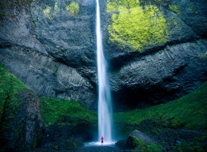
Latourell Falls Loop
4.72.02 mi / 820 ft gainLatourell Falls is a beautiful and unique waterfall in the Columbia River Gorge in Oregon. This amazing waterfall is just a few hundred yards from the road and parking lot. Once you park, there is a viewpoint for the falls that is straight ahead. The view from there isn't that great compared to ...Read more -
Portland, Oregon
Hiking the Ridge Trail in Forest Park
4.22.75 miThis is a great option for a quick hike when you don't have time to get out of the city but need to satisfy your craving to get outside and escape the noise of bustling Portland. Follow Firelane 7 from the Springville Trailhead up towards Leif Erickson Drive and the Ridge Trail. There are signs a...Read more -
Portland, Oregon
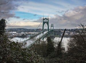
Photograph the St. John's Bridge
4.5To begin, park on North Pittsburg Ave and walk down to the river. Then, turn left and walk down the short less than a quarter mile until you see a spot where the beach is bigger than in other areas. This is an extremely good place to take photographs of the bridge, especially at night. Feel free ...Read more -
Portland, Oregon
Explore Cathedral Park
4.5Located right underneath the St Johns Bridge, Cathedral Park is hard to miss. It was given its name due to the Gothic looking arches that sit above the park.This is one of my personal favorite places to photograph especially if you enjoy photographing bridges. This park can be crowded or have eve...Read more -
Scotts Mills, Oregon
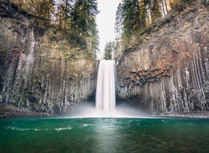
Abiqua Falls
4.90.69 mi / 115 ft gainThis trail is unmarked and a little rough and rugged. The land is privately owned by Mount Angel Abbey, but they don't appear to have problems with courteous hikers. Walking out of the parking area back up the road in the direction you came from, you’ll pass one dirt trail right at the ending of ...Read more -
Corbett, Oregon
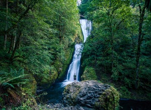
Bridal Veil Falls
4.10.54 mi / 144 ft gainThe trailhead for this short hike is right off of the Columbia River Highway just west of Multnomah Falls. You can't miss the parking lot for it; there is a sign for Bridal Veil and the parking lot is visible from the road. The hike is only 0.6 miles and has hardly any elevation gain (70 feet). ...Read more -
Estacada, Oregon
Raft the Wild and Scenic Clackamas River
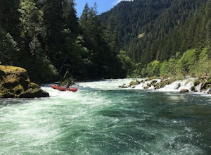
5.0The Wild and Scenic Clackamas River above the North Fork Reservoir is a great destination for paddlers and only about an hour drive from downtown Portland. This popular 13.5 mile section of river lies within the Mt. Hood National Forest and offers continuous class II-III boating with a little cla...Read more -
Scotts Mills, Oregon
Upper Butte Creek Falls
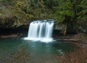
4.00.73 mi / 308 ft gainFrom Scott Mills Follow Crooked Finger RD NE for 13.3 Miles to the Upper Butte Creek Trailhead. The last 2-3 miles or so is gravel road with some potholes but most cars shouldn't have a problem. The path down to the falls starts near the bathrooms. A short .3 mile walk on a few switchbacks and...Read more -
Bridal Veil, Oregon
Angel's Rest
4.34.45 mi / 1568 ft gainThe Columbia River Gorge is absolutely full of incredible hikes - that said, this is one of the best and requires less time and energy than some of the others. Starting at a paved parking lot right off the Historic Columbia River Gorge Highway (note: it's a very popular trail so arrive early or ...Read more -
Bridal Veil, Oregon
Devil's Rest-Wahkeena Falls Loop
4.09.82 mi / 2779 ft gainThis loop takes advantage of the western Columbia River Gorge's vast network of trails - hidden behind the roadside waterfalls - to allow you to visit several popular attractions without fighting traffic along the historic highway. All told, the loop hits 3 named waterfalls (Coopey Falls, Fairy F...Read more -
Clackamas County, Oregon
Tumala (Squaw) Mountain
4.74.51 mi / 1099 ft gainOn a clear day, this short, secluded hike offers breath-taking views of Mt. St. Helens, Mt. Rainier, Mt. Adams, Mt. Hood, and Mt. Jefferson, as well as of downtown Portland, Coast Range, and the Roaring River Wilderness. Begin the hike from the Twin Springs Trailhead and immediately take your fi...Read more -
Corbett, Oregon
Hike to Upper Bridal Veil Falls
5.00.5 miAt the parking lot for Angel's Rest, turn left uphill on to Palmer Mill Road. Drive for about a mile, and park right past a tributary stream/small waterfall (pictured above) on your left that flows through a small pipe under the road. You will see a small space to park on the right. Park here and...Read more

