Huntsville, Ohio
Looking for the best running in Huntsville? We've got you covered with the top trails, trips, hiking, backpacking, camping and more around Huntsville. The detailed guides, photos, and reviews are all submitted by the Outbound community.
Top Running Spots in and near Huntsville
-
Springfield, Ohio
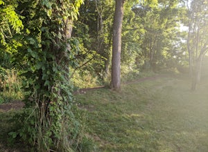
Hike the Stone's Throw Trail
4.00.8 miThis 0.4 trail is tiny but mighty! It is hidden up the hill from the CJ Brown Reservoir Visitor Center, and leads down a small wooded path to a less accessed part of the lake. This is a common spot for birdwatching, and a favorite place for Springfield's elusive Great Blue Herons. Follow the p...Read more -
Springfield, Ohio
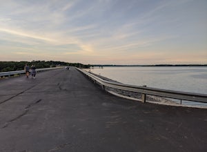
Stroll along the Dam at the CJ Brown Reservoir
3.01.2 miThis walk is safe, open, flat and perfect for getting some exercise with a view! The dam is 1.2 miles round trip, and open for a variety of activities - walking, jogging, biking, skateboarding, and rollerblading! At the far end of the dam is a long set of stairs leading to the lower parking lot...Read more -
Springfield, Ohio
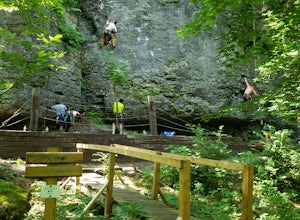
Climb at Mad River Gorge
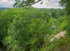
1 miJust a short hike down from the parking lot lies a half mile of cliffside full of climbing opportunities! Plenty of variety for different skill levels, although someone in your group will need to lead climb to set up the route first. There are hooks already in place on each route, and you are not...Read more -
Springfield, Ohio
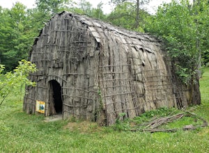
Explore the History of George Rogers Clark Park
5.0The George Rogers Clark Park has over 6 miles of nature hiking trails as well as a fishing pond. There are large A-frames at several points in the park to set up for the afternoon and grill some hotdogs, and plenty of field space to lay out some blankets and break out the picnic basket. The bigge...Read more -
Plain City, Ohio
Conquer the Glacier Ridge Challenge Course
0.25 miThis quarter mile course is perfect for those looking for athletic competition, fun challenges, or ninja training. It is located adjacent to the parking lots in the main area of Glacier Ridge Metro Park, so there will always be plenty of parking for your group. There are water fountains at the be...Read more -
Plain City, Ohio
Run the Ironweed Trail in Glacier Ridge Metro Park
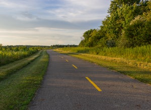
4.02.8 miFrom the main entrance on the north side of the park, the Ironweed Trail connects the northern, more wooded section of the park with the wetlands to the south. This 2.8 mile one-way trail is paved, making cycling, running, and hiking an easy activity. The topography of the park also makes it easy...Read more -
Yellow Springs, Ohio
Glen Helen Nature Preserve Loop
2.77 mi / 367 ft gainGlen Helen is located just next to downtown Yellow Springs, a small but well-known town popular for its eclectic and artistic community. This preserve was set to close permanently in 2020 due to lack of funding, but the former owner Antioch College sold the preserve to the Glen Helen Association ...Read more -
Lewis Center, Ohio
Hike the Overlook-Dripping Rock Loop
5.04.8 mi / 100 ft gainStarting at the nature center near the entrance of the park, the 2.5 mile long Dripping Rock Trail heads off in two directions, to the south and to the west. Either way will take you back to the nature center at the end of the day. Going west takes you past an observation deck and then along a de...Read more -
Vandalia, Ohio
Waterfall Loop at Englewood MetroPark
5.02.25 miThis adventure begins at a parking lot within the Englewood East MetroPark, right at the trailhead for the white trail. Begin the hike into the woods, following the well-marked path through points 1 and 2. Continue straight on the white path until you hit point 7, where you will switch over to th...Read more -
Cedarville, Ohio
Hike the Gorge Trail at Indian Mounds
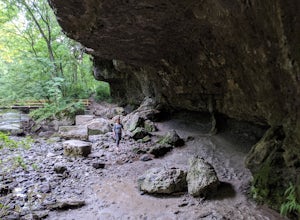
5.0Cedarville, Ohio is known for its expansive farmland, but in the Indian Mounds Park you'll find several unique features, such as the cavern located on the Gorge Trail! This cave is formed out of the side of a cliff and is perfect for easy exploration and climbing. When the water is low enough yo...Read more -
Galloway, Ohio
Hike the Darby Creek Greenway
9.6 mi / 50 ft gainStarting your hike from the Cedar Ridge Picnic Area, head north along the Darby Creek Greenway, a well-maintained gravel path that is a multi-use trail alongside cyclists and trail runners. The trail switches between a number of different settings during the 4.7 mile one-way trek, including fores...Read more

