Granville, Ohio
Top Spots in and near Granville
-
Rockbridge, Ohio
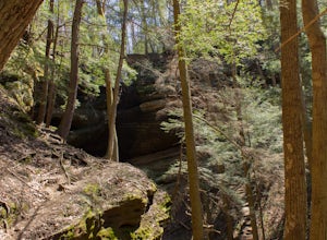
Hike the Cantwell Cliffs Loop
5.01 mi / 100 ft gainCantwell Cliffs is one of the more northern units of the overall Hocking Hills State Park Region. Located off of OH SR 374, a short 0.1 spur trail takes you from the parking lot to the rim of the gorge and the area's namesake cliffs. From there, you have two choices: Turn left and descend through...Read more -
Galloway, Ohio
Hike the Darby Creek Greenway
9.6 mi / 50 ft gainStarting your hike from the Cedar Ridge Picnic Area, head north along the Darby Creek Greenway, a well-maintained gravel path that is a multi-use trail alongside cyclists and trail runners. The trail switches between a number of different settings during the 4.7 mile one-way trek, including fores...Read more -
Perrysville, Ohio
Hike the Pleasant Hill Lyons Falls Loop
5.02.75 miTo get to this trail you can go to the Dam that is a part of Pleasant Hill Lake and there is a parking area across the street. After you start walking you reach signs that will ask where you want to go, either to the covered bridge or to the Lyons Falls.By going towards the covered bridge first y...Read more -
West Jefferson, Ohio
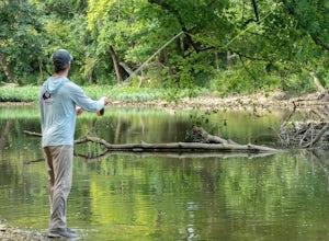
Fly Fish Big Darby Creek at Prairie Oaks Metro Park
The Big Darby Creek is just one of four National Scenic Rivers in Ohio. Exploring and fly fishing for smallmouth bass, rock bass, or panfish is just one way for you to experience the river near the Prairie Oaks Metro Park. Located within a thirty-minute drive from downtown Columbus, the Prairie O...Read more -
West Jefferson, Ohio
Hike the Darby Creek Trail
4.02.6 mi / 30 ft gainParking at the Whispering Oaks Picnic Area on the west side of the park, start on the Darby Greenway Trail and follow it north across the river until you reach the beginning of the Lake View Trail. This 0.9 mile trail takes you along the largest of the Darby Bend Lakes, and even takes you past a ...Read more -
Perrysville, Ohio
Photograph Clear Fork Gorge
The hardest part of this adventure is finding parking, especially on a late October afternoon. There's two different observation decks to take photos of the gorge from, and both have excellent views of the overall gorge. Having grown up just up the road from Mohican State Park, "The Gorge" has al...Read more -
Laurelville, Ohio
Explore the Rock House
5.00.5 mi / 150 ft gainFrom the Rock House parking lot, follow the trail for 0.1 mile down the hill until you come to a fork in the trail, at which point follow the yellow marked Lower Rim Trail that continues downhill through a set of carved sandstone steps and then turns to parallel the cliffs. From there, it's less ...Read more -
Perrysville, Ohio
Photograph Mt. Jeez
3.0While it might not seem like much, Mt. Jeez stands 1,310' feet above sea level, making it one of the higher "peaks" in Ohio. Because of that, it's one of the few spots in the Buckeye State that allow for grand, sweeping vistas with a 270 degree view for a few miles in most directions. Originally ...Read more -
Rockbridge, Ohio
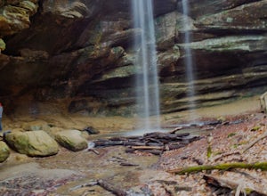
Hike the Gorge at Conkle's Hollow
4.63 mi / 200 ft gainStarting from the parking lot, cross the small foot bridge before coming to where the trail splits. You will have 3 options (straight, left or right). My personal opinion on route will be described below.Take the paved path that explores the valley floor first. It is an easy 1/2 mile out and b...Read more -
Rockbridge, Ohio
Conkle's Hollow Gorge Trail
1.17 mi / 243 ft gainConkle's Hollow Gorge Trail is an out-and-back trail that takes you by a waterfall located near Rockbridge, Ohio.Read more -
Logan, Ohio
Upper Falls Hocking Hills State Park
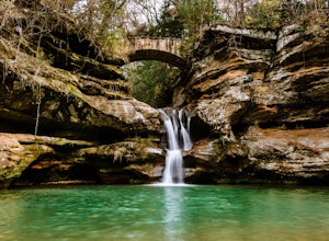
0.13 mi / 10 ft gainThis .13 mile hike crosses a beautiful bridge that's one of the most-photographed features in Hocking Hills. This awesome trail system is perfect for families and people who want to be spontaneous because there are many routes to choose from as you go. The trailThis short hike is close to the pa...Read more -
Logan, Ohio
Lower Falls Loop via Buckeye Trail
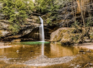
1.22 mi / 171 ft gainThis 1.2-mile trail has minimal elevation gain and leads to Lower Falls. This waterfall flows the most in the spring, especially after a snowy winter, and can dry up around July during dry summers. What's the trail like?The loop has a one-way path, making it easier for people to get in and out. ...Read more -
Logan, Ohio
Old Man's Cave and Ash Cave via Buckeye Trail
9.42 mi / 1060 ft gainOld Man's Cave and Ash Cave via Buckeye Trail is an out-and-back trail that takes to two scenic caves in Hocking Hills State Park located near South Bloomingville, Ohio. This trail is dog friendly on-leash.Read more -
Logan, Ohio
Hike & Camp in Hocking Hills, Ohio
4.93 miIf you find yourself in Ohio, you must stop in Logan and visit the Hocking Hills. This place seems to consistently find itself on lists for the best hiking in the country - and for good reason. The forest and state park is vast, and it includes Old Man's Cave, Ash Cave, Cedar Falls, Rock House, t...Read more -
Logan, Ohio
Hike to Rose Lake
5.03 mi / 150 ft gainStarting at the main parking lot for Old Man's Cave and the Hocking Hills, follow the Gorge Overlook Trail from the Visitor's Center, staying on top of the rim. About 0.1 mile from the Visitor Center, you'll cross over the gorge on a large trussed bridge. Once across, follow the signs that direct...Read more -
Logan, Ohio
Old Man's Cave Loop
4.50.63 mi / 102 ft gainTake the Rim Trail in Hocking Hills State Park, which descends into the deep gorge and takes you alongside a stream as you head towards a number of cascades and interesting rock faces. Rim Trail can be linked to Cedar Falls, as well, or from the Upper Falls you can take Grandma Gatewood Trail fo...Read more

