Spindale, North Carolina
Top Spots in and near Spindale
-
Lake Lure, North Carolina
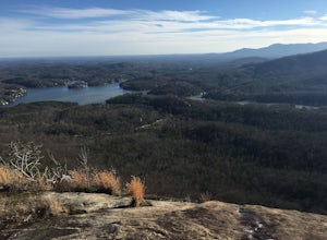
Hike to Party Rock
4.52.4 mi / 1549 ft gainThis hike is a strenuous 2.4 miles that takes about 1.5 hours to complete. The trail is not maintained--it is an old logging road--so there are lots of loose rocks and you frequently have to hop over the washout/creek. However, the difficulty on the way up is extremely rewarding at the top!The tr...Read more -
Lake Lure, North Carolina
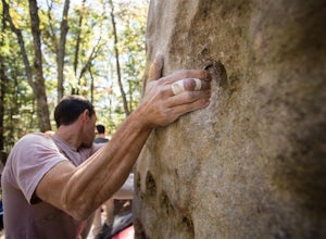
Boulder at Rumbling Bald
4.51.5 miLocated off of Boys Camp Rd. in Lake Lure, North Carolina, Rumbling Bald is a huge boulder yard that has been in use since the 1970's and has begun to flourish. Conveniently at the trail head is a gravel parking lot with three Port A Johns to use. Make sure you get to the parking lot early thou...Read more -
Lake Lure, North Carolina
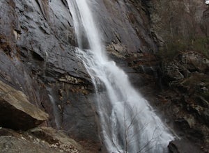
Hike to Hickory Nut Falls
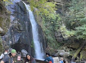
5.02 mi / 200 ft gainThis waterfall is located inside of the Chimney Rock State Park. There is a fee of 15 dollars to go to the State Park but it is very worth it because of the beautiful scenery and beautiful views. The hike to the waterfall is partially uphill on the way. When you get to the waterfall there are a f...Read more -
Lake Lure, North Carolina
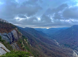
Exclamation Point and Skyline Trail to Hickory Nut Falls
5.02.98 mi / 1204 ft gainExclamation Point and Skyline Trail to Hickory Nut Falls is an out-and-back trail that takes you by a waterfall located near Chimney Rock, North Carolina.Read more -
Lake Lure, North Carolina
Explore Chimney Rock
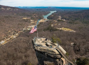
4.00.5 miChimney rock is a beautiful slab of weather granite that is visible from miles around. To get to this hike you'll want to head to Lake Lure in North Carolina, a beautiful lake located in the mountains of western North Carolina. Follow the signs for Chimney Rock and take the switchback road up t...Read more -
Hendersonville, North Carolina
Hike along The World's Edge
0.7 mi / 40 ft gainPark at the end of The World's Edge Road, but be aware that parking is very limited. There is a private residence up to the right so do not block their driveway/gate. Begin your hike by going through the leftmost gate, and continue straight until you reach the first view less than half a mile in....Read more -
Black Mountain, North Carolina
Eagle Rock
0.7 mi / 151 ft gainEagle Rock is located in Chimney Rock State Park and is a hot spot for climbers and hikers! The hike to the overlook at Eagle Rock is 0.4 miles, and it's one of the most bang-for-your-buck trails in the area. We love to picnic out on the rock as it's in the sun most of the day. If you decide to...Read more -
Saluda, North Carolina
Hike Bradley Falls
4.82.3 mi / 312 ft gainThis is a really nice hike along Cove Creek that leads to a beautiful, 100 foot waterfall. While most of the trail is a relaxing stroll, the end of the hike provides a little adventure for those who feel up for it. Starting from the parking lot, follow the main trail into the woods. Early in the ...Read more -
Gaffney, South Carolina
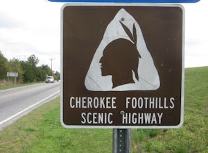
Drive the Cherokee Foothills National Scenic Byway
This 118 mile drive in South Carolina can be driven during different seasons (storms permitting). Along this route, aside from stunning views of the Blue Ridge Mountains, you'll have the opportunity to take in historic locations, towns, and monuments. Make sure to bring your camera! Here is a lin...Read more -
Connelly Springs, North Carolina
Chestnut Knob via River Trail
4.05.9 mi / 1115 ft gainThe journey begins at the Cicero Branch Parking Area along South Mountain Road, following Jacob Fork River Trail. The trail runs along the Fork before ascending Chestnut Knob. After completing the trail, you will find yourself on the highest peak of the South Mountain chain, where there are breat...Read more -
Connelly Springs, North Carolina
High Shoals Waterfall and H.Q. Loop Trail
4.83 mi / 1043 ft gainHigh Shoals Waterfall and H.Q. Loop Trail is a loop trail that takes you by a waterfall located near Connelly Springs, North Carolina.Read more -
Connelly Springs, North Carolina
Sawtooth Campground via Chestnut Knob Trail
5.06.18 mi / 1299 ft gainThis 6.2-mile total trip will take you through the highlights of South Mountains State Park with an overnight stay in one of the drier campsites. OPTIONAL: You can get a warm-up in by starting with a 2.5-mile loop to High Shoal Falls that you can do without packs before picking up with a 3-mile...Read more -
Connelly Springs, North Carolina
High Shoals Falls
4.62.47 mi / 617 ft gainFrom the Jacob Fork parking area in South Mountains State Park, it is a short 1 mile walk over the Jacob River to the High Shoals Waterfall (80'). If you choose to continue past the observation deck, High Shoals Falls Trail (blue circle) climbs up above the waterfall, crossing the river. Keep rig...Read more -
Flat Rock, North Carolina
Watch the Green Race
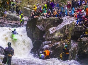
5.01.8 mi / 500 ft gainOn the first Saturday of November the best creek boaters in the world gather at the Green River in North Carolina to see who can storm the Narrows and claim the top title (at least for the next year!). For paddlers, creek boating is a pursuit along tight and narrow steeps that most of us have ne...Read more -
Marion, North Carolina
Drive the Scenic Lake Tahoma
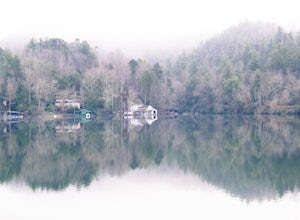
This scenic drive is along NC 80 between a small town called Pleasant Gardens and Micaville. It can also be taken in the opposite direction depending on where you are driving from, but the main attraction is Lake Tahoma. Lake Tahoma is a private lake in the Western North Carolina Mountains, but ...Read more -
Old Fort, North Carolina
Catawba Falls
4.82.19 mi / 394 ft gainPlease note, Catawba Falls is temporarily closed. You can learn more about updates at www.fs.usda.gov. This quick and relatively easy hike is located close to Asheville, NC. If you're looking to have the trail to yourself, it can be a little tough. It's best to get there as early as possible or ...Read more
Top Activities
Camping and Lodging in Spindale
Old Fort, North Carolina
Curtis Creek Campground (Nc)
Overview
Curtis Creek Campground is nestled in the mountains at the base of the Blue Ridge just minutes from the quaint town of Old Fort ...
2708 U.S. 70, North Carolina
Asheville East KOA Holiday
Whether you're looking for a peaceful weekend in the mountains or an extended stay in western North Carolina, this KOA is the perfect cho...
Burnsville, North Carolina
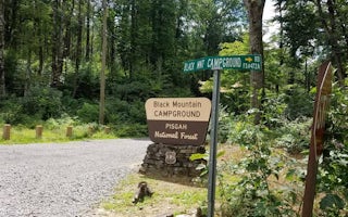
Black Mountain Campground
Overview
Black Mountain Campground sits in the shadow of Mt. Mitchell, the highest peak in the eastern U.S. and borders the South Toe Riv...
Burnsville, North Carolina
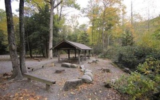
Briar Bottom Group Campground
Overview
Briar Bottom Group Campground is the perfect getaway for visitors to enjoy mountain scenery and easy access to hiking trails. Th...
Burnsville, North Carolina
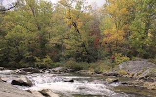
Carolina Hemlocks Rec Area
Overview
Carolina Hemlocks Recreation Area sits in the scenic mountains of Pisgah National Forest. This is a great place for small to med...

Travelers Rest, South Carolina
Travelers Rest / N Greenville KOA Holiday
This is a great place for a weekend getaway or relaxing vacation. Deluxe Cabins come with kitchenettes, full baths, dishes, linens and a ...

