Hayesville, North Carolina
Top Spots in and near Hayesville
-
Benton, Tennessee
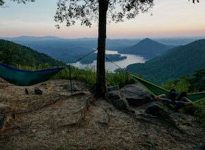
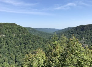
The overlook is easily accessible from a parking circle located off Oswald Road. Follow U.S. Highway from Ocoee, Tennessee for 8 miles then turn left onto Oswald Road. Follow Oswald Road for 2.5 miles until you encounter the overlook on your left. The overlook will be clearly marked with signage....
Read more
-
Walland, Tennessee
The foothills parkway runs parallel to the Great Smoky Mountains. It is 38.6 miles in total with the longest section at 33.0 miles. There are a few different places to get on to the parkway. There is one entrance near Fontana, Walland, Wears Valley, and Cosby. However Cosby is a smaller section a...
Read more
-
Bureau of Indian Affairs Highway 506, North Carolina
5.0
1.21 mi
/ 400 ft gain
Your hike will start at the base of the Blue Ridge Parkway just a few miles from the start in Cherokee. The trail starts right off of the parkway in a very small easy to miss dirt road. There is a small area to park that then you start your hike up the dirt road right after the gate. The hike to ...
Read more
-
Gatlinburg, Tennessee
You will find the trailhead to this gravel path just to the left of the Sugarlands Visitor Center. The easy walk along Fighting Creek is scenic and tends not to be crowded, either.
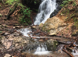
At the end of the hike you will find a beautiful 25-foot waterfall. Please refrain from climbing on or around the f...
Read more
-
-
Lake Toxaway, North Carolina
Trail signs in Panthertown Valley are limited. Be sure to bring a map!
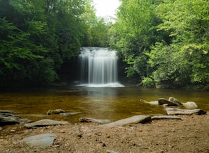
Starting at the Cold Mountain parking lot, hike to Schoolhouse Falls. This is a nice waterfall with a pool at the bottom. In the summer, you are bound to run into other fellow hikers here.
From Schoolhouse Falls, you have the...
Read more
-
Lake Toxaway, North Carolina
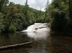
Warden, Jawbone, and Riding Ford Falls are three waterfalls located along the headwaters of the Tuckasegee River in Panthertown Valley. Not far from the Cold Mountain trailhead, these falls are quite popular in the summer. On a weekend, you will often find people playing in the pools below the fa...
Read more
-
Gatlinburg, Tennessee
4.5
13.37 mi
/ 3993 ft gain
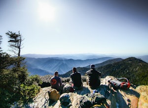
Begin at the Rainbow Falls trail parking lot. This is very popular area especially in the summer. If the parking area at the trail head is full there is additional parking located just past the main lot. From here the Rainbow Falls trail is just under 14 miles to the summit of Mount Leconte. Elev...
Read more
-
35.675929,-83.485764
This 6 mile drive is a great way to spend a scenic day in the Smokies. The road is open to cars only (no trucks or RVs) and runs one-way. There are no visitors centers after you head out, so be sure to bring everything you need along.
The drive begins at the historic Ogle farmstead, which is als...
Read more
-
Tuckasegee, North Carolina
4.3
0.74 mi
/ 167 ft gain
To the north of Panthertown lies a chain of dammed lakes that are some of the most peaceful waters in Western North Carolina. These make up the headwaters of the East Fork of the Tuckasegee River. The gorges that run between the top lakes are wild, scenic, and adventurous to even the most experie...
Read more
-
Sylva, North Carolina
The trail begins paved and quickly climbs up into a heavily forested area. Once at a 1/4 of a mile in, you will come to a nice overlook that will give you your first real good view of the surrounding mountains. The trail then continues on, though now unpaved, with great views off to your left as ...
Read more
-
Sylva, North Carolina
3.7
1.72 mi
/ 430 ft gain
NOTE: The wreckage has now been removed. Please see the press release on NPS.gov for more details.
Ever hiked to an abandoned plane in the middle of the woods? Yeah me neither until I heard of this gem.
This is an AWESOME day hike for anyone looking to get outside for a few hours and see some ...
Read more
-
Maggie Valley, North Carolina
This double waterfall is located a mile and half off of the Blue Ridge Parkway in the Cherokee Indian Reservation. From the parking area, it's a short walk down a well-established trail to the viewing area of the falls.
For an even closer view of the falls, you can follow a roped, steep path dow...
Read more
-
Lake Toxaway, North Carolina
If you want to see a great waterfall without hiking all day, this is the perfect trail for you.
Getting there - The trailhead is about 2 miles from the intersection of Cold Mountain and Panther Ridge Road (exact coordinates: 35.1594, -82.9801). There is a small grassy pull out where you can park...
Read more
-
Gatlinburg, Tennessee
5.0
1.83 mi
/ 585 ft gain
This is an intermediate hike along Trillium Gap Trail. There are four stream crossings on your way to the falls as you hike through an idyll, often wildflower-sprinkled landscape. Late spring is best for catching blooms. Once at the waterfall, you can walk behind the cascade of water.
This is a ...
Read more
-
Gatlinburg, Tennessee
4.0
4.54 mi
/ 879 ft gain
Twin Creeks Trail is an out-and-back trail that takes you by a river located near Gatlinburg, Tennessee.
Read more

