Barnardsville, North Carolina
Looking for the best hiking in Barnardsville? We've got you covered with the top trails, trips, hiking, backpacking, camping and more around Barnardsville. The detailed guides, photos, and reviews are all submitted by the Outbound community.
Top Hiking Spots in and near Barnardsville
-
Black Mountain, North Carolina
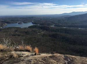
Eagle Rock
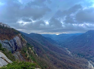
0.7 mi / 151 ft gainEagle Rock is located in Chimney Rock State Park and is a hot spot for climbers and hikers! The hike to the overlook at Eagle Rock is 0.4 miles, and it's one of the most bang-for-your-buck trails in the area. We love to picnic out on the rock as it's in the sun most of the day. If you decide to...Read more -
Asheville, North Carolina
Explore Lake Powhatan
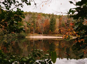
Lake Powhatan is located just minutes away from Asheville, NC and offers a number of fun activities for you, your friends, and your family. In the warm summer months, the Lake is a popular spot for swimming. The small stretch of beach along the lake is a nice place to lay out and soak in the sun....Read more -
Lake Lure, North Carolina
Boulder at Rumbling Bald
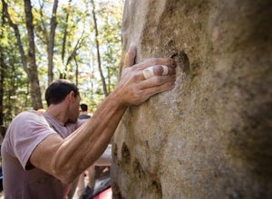
4.51.5 miLocated off of Boys Camp Rd. in Lake Lure, North Carolina, Rumbling Bald is a huge boulder yard that has been in use since the 1970's and has begun to flourish. Conveniently at the trail head is a gravel parking lot with three Port A Johns to use. Make sure you get to the parking lot early thou...Read more -
Lake Lure, North Carolina
Hike to Hickory Nut Falls
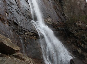
5.02 mi / 200 ft gainThis waterfall is located inside of the Chimney Rock State Park. There is a fee of 15 dollars to go to the State Park but it is very worth it because of the beautiful scenery and beautiful views. The hike to the waterfall is partially uphill on the way. When you get to the waterfall there are a f...Read more -
Lake Lure, North Carolina
Explore Chimney Rock
4.00.5 miChimney rock is a beautiful slab of weather granite that is visible from miles around. To get to this hike you'll want to head to Lake Lure in North Carolina, a beautiful lake located in the mountains of western North Carolina. Follow the signs for Chimney Rock and take the switchback road up t...Read more -
Lake Lure, North Carolina
Exclamation Point and Skyline Trail to Hickory Nut Falls
5.02.98 mi / 1204 ft gainExclamation Point and Skyline Trail to Hickory Nut Falls is an out-and-back trail that takes you by a waterfall located near Chimney Rock, North Carolina.Read more -
Lake Lure, North Carolina
Hike to Party Rock
4.52.4 mi / 1549 ft gainThis hike is a strenuous 2.4 miles that takes about 1.5 hours to complete. The trail is not maintained--it is an old logging road--so there are lots of loose rocks and you frequently have to hop over the washout/creek. However, the difficulty on the way up is extremely rewarding at the top!The tr...Read more -
138 Silver Mine Road, North Carolina
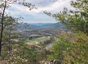
Hike the Lovers Leap Loop Trail
5.01.8 mi / 472 ft gainLovers Leap Loop trail is a 1.8 mile loop in Hot Springs, NC. The address of the trailhead is 138 Silver Mine Rd, Hot Springs, NC 28743. Once you arrive at the parking lot, you will see a trail leading up into the mountain with a post next to it. This is where you want to begin. It is part of the...Read more -
Green Mountain, North Carolina
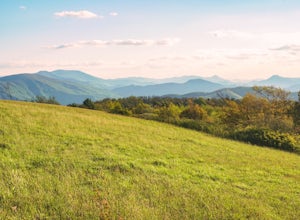
Hike to Beauty Spot Gap
5.02.13 mi / 1277 ft gainBeauty Spot Gap is located on the Appalachian Trail on the border of North Carolina and Tennessee. The bald offers a panoramic view of Cherokee National Forest and the city of Erwin. This is a popular destination for hikers of the AT to set up camp and watch the sunset. From the Tennessee side, t...Read more -
Green Mountain, North Carolina
Appalachian Trail: Indian Grave Gap to Chestoa
4.08.05 mi / 1165 ft gainAppalachian Trail: Indian Grave Gap to Chestoa is a point-to-point trail that takes you by a river located near Unicoi, Tennessee.Read more -
Marshall, Tennessee
Appalachian Trail: Jones Meadow to Jerry Cabin Shelter
7.58 mi / 909 ft gainAppalachian Trail: Jones Meadow to Jerry Cabin Shelter is an out-and-back trail that provides a good opportunity to view wildlife located near Greeneville, Tennessee.Read more -
Unicoi, Tennessee
Appalachian Trail: Beauty Spot to Unaka Mountain
5.06.35 mi / 1654 ft gainAppalachian Trail: Beauty Spot to Unaka Mountain is an out-and-back trail that provides a good opportunity to view wildlife located near Green Mountain, North Carolina.Read more -
Erwin, Tennessee
Martin's Creek Falls
3.02.06 mi / 522 ft gainMartin's Creek Falls is an out-and-back trail that takes you by a waterfall located near Erwin, Tennessee.Read more -
Hendersonville, North Carolina
Hike along The World's Edge
0.7 mi / 40 ft gainPark at the end of The World's Edge Road, but be aware that parking is very limited. There is a private residence up to the right so do not block their driveway/gate. Begin your hike by going through the leftmost gate, and continue straight until you reach the first view less than half a mile in....Read more -
Unicoi, Tennessee
Camp at Unaka Mountain Overlook
4.00.1 miUnaka Mountain Overlook is one of the highest locations in the Cherokee National Forest. Easily accessibly by vehicle, the overlook towers over the surrounding mountains, including Beauty Spot Gap, and is an ideal spot to camp overnight. Take Rock Creek Road until you meet the border of North Car...Read more -
Greeneville, Tennessee
Hike to Margarette Falls
5.02.7 mi / 715 ft gainTo reach the trail head, take exit number 39 to Erwin/Jonesborough and turn onto State Route 81/107 west and stay on this for 6.5 miles. Then you will turn left to stay on Route 107 and continue on for 16 more miles. Then you will take a left on Route 351 and drive 4.5 miles. Then you will take a...Read more

