Barnardsville, North Carolina
Looking for the best hiking in Barnardsville? We've got you covered with the top trails, trips, hiking, backpacking, camping and more around Barnardsville. The detailed guides, photos, and reviews are all submitted by the Outbound community.
Top Hiking Spots in and near Barnardsville
-
Morganton, North Carolina
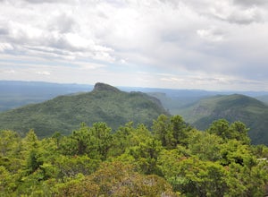
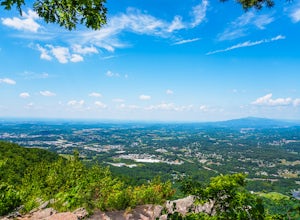
Hike to Hawksbill Mountain
5.02.1 mi / 660 ft gainStarting at the Hawksbill Mountain Trailhead, which is clearly marked start hiking up! The trail starts out with some easy uphill switchbacks and leads you to the first lookout point. Enjoy sometime at the lookout point, but you'll want to keep going for a more incredible view. Keep hiking uphill...Read more -
Saluda, North Carolina
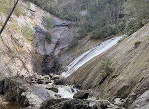
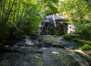
Hike Bradley Falls
4.82.3 mi / 312 ft gainThis is a really nice hike along Cove Creek that leads to a beautiful, 100 foot waterfall. While most of the trail is a relaxing stroll, the end of the hike provides a little adventure for those who feel up for it. Starting from the parking lot, follow the main trail into the woods. Early in the ...Read more -
Johnson City, Tennessee
Lone Oak to Tip Top Trail
3.25 mi / 1253 ft gainLone Oak to Tip Top Trail is an out-and-back trail where you may see beautiful wildflowers located near Johnson City, Tennessee.Read more -
Canton, North Carolina
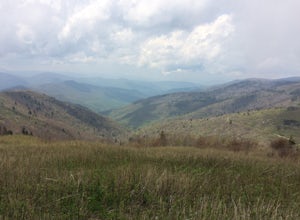
Shining Rock via Shining Creek Trail
4.38.69 mi / 2569 ft gainThere are several ways to access the Shining Rock Wilderness Area, but go for the main trail head off of Hwy 276. The trail is split by the Pigeon River, providing a seemingly infinite combinations of trails and routes, keeping in mind that this area intersects often with the well known Art Lobe ...Read more -
Canton, North Carolina
Hike Big East Fork Shining Rock Loop
4.014 miWe began this trip by camping overnight in Graveyard Fields. Those camp sites are .5 miles from the car, so we kept our food there over night. Bear activity has increased, so it's strongly advised to bring a bear canister and be wise about food storage. We woke up early the next morning made bre...Read more -
Johnson City, Tennessee
Sunset Point
5.00.65 mi / 223 ft gainSunset Point is an overlook located in Buffalo Mountain State Park. The trail is a short hike up along the White Rock loop trail then a short walk off the trail to get to the overlook. There is a clearing with a few benches that has wide open views to the west. The short hike up to the point shou...Read more -
Johnson City, Tennessee
White Rock Loop
5.04.94 mi / 1457 ft gainWhite Rock Loop is a loop trail where you may see beautiful wildflowers located near Johnson City, Tennessee.Read more -
Johnson City, Tennessee
Fork Knob, White Rock and The Noggin Loop
5.03.12 mi / 1220 ft gainThe Fork Knob and White Rock Loop in Johnson City, Tennessee, is a moderately challenging hiking trail that spans approximately 3.12 miles. The trail is marked by a variety of natural features, including a prominent rock formation known as White Rock, which offers panoramic views of the surroundi...Read more -
Johnson City, Tennessee
Hike to Tip Top on Buffalo Mountain
4.05.4 mi / 1388 ft gainTip Top rests on one of the highest points of Buffalo Mountain. The overlook features tree coverage perfect for hammocking and benches while providing views of Downtown Johnson City as well as the other side of the mountain range. The hike from the trailhead to Tip Top is moderately steep. The tr...Read more -
Johnson City, Tennessee
White Rock Overlook
5.02.85 mi / 876 ft gainThe White Rock trailhead is less than a 10 minute drive from downtown Johnson City. When pulling up Highbridge Road, take a left at the fork. You will shortly encounter a vehicle gate where you will park to the side of the road (do not block the yellow vehicle gate). You have the option to walk ...Read more -
Collettsville, North Carolina
South Harper Creek Falls
5.03.46 mi / 564 ft gainSouth Harper Creek Falls is an out-and-back trail that takes you by a waterfall located near Collettsville, North Carolina.Read more -
Appalachian Trail, Tennessee
Jones Falls via Appalachian Trail
5.010.65 mi / 2484 ft gainStarting at the Appalachian Trail (AT) trailhead at US 19E, follow the AT north for 3.1 miles until you reach the intersection of the trail with Buck Mountain Rd. This section of the AT has an elevation gain of almost 1000 ft, and large sections of trail with significant meadows offering magnific...Read more -
Brevard, North Carolina
Art Loeb Trail
4.830.07 mi / 7467 ft gainStart at The Davidson River Campground just outside of Brevard, NC (276 Pisgah Ranger District). Have a shuttle car or a friend waiting at the Daniel Boone Boy Scout camp for the finish line. Hop on the 30.1 mile long Art Loeb Trail at the trailhead in the Davidson River Campground. Pull into th...Read more -
Brevard, North Carolina
Camp at Davidson River Campground in the Pisgah National Forest
4.5Pisgah National Forest, in my opinion, is one of the best national forests in the United States. Being just a short drive from Great Smokey Mountain National Park it has all the feel of being in the smokies with more to explore. Pisgah has anything you could want to see or do from tens of water...Read more -
Pisgah Forest, North Carolina
Drive the Forest Heritage National Scenic Byway
5.076 mi / 1000 ft gainYou can drive this highway getting different views during the different seasons. Along the drive, have your camera ready for beautiful vistas, Looking Glass Falls, and many adventures along the highway. The views are especially beautiful in the autumn with the leaves changing colors. This route d...Read more -
Brevard, North Carolina
Moore Cove Falls
4.31.28 mi / 223 ft gainThe hike relatively quick and has minimal elevation gain, making it a great hike for the family or a quick stop off if you're planning to do another hike in the same day. This part of the Pisgah National Forest is filled with scenic hikes. Once you've parked your car, cross over the stream via a...Read more

