Barnardsville, North Carolina
Looking for the best hiking in Barnardsville? We've got you covered with the top trails, trips, hiking, backpacking, camping and more around Barnardsville. The detailed guides, photos, and reviews are all submitted by the Outbound community.
Top Hiking Spots in and near Barnardsville
-
Cleveland, South Carolina
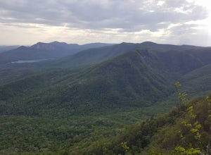
Caesars Head Overlook
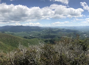
5.00.27 mi / 144 ft gainThe Drive: Head North on SC Highway 11 "Cherokee Foothills Scenic Highway" towards Table Rock State Park. Follow SC 11 past Table Rock approximately 8 miles where it will merge with SC 8 at Pumpkin Town. Follow SC 8 for another 3-4 miles until you see the intersection for SC Highway 276 on the le...Read more -
Blowing Rock, North Carolina
Boone Fork Trail
4.05.06 mi / 1030 ft gainBoone Fork Trail is a loop trail that takes you by a waterfall located near Boone, North Carolina.Read more -
Cosby, Tennessee
Maddron Bald - Albright Grove Loop
6.72 mi / 1500 ft gainHidden in the eastern reaches of Great Smoky Mountains National Park, the Cosby region receives a fraction of the visitation of Gatlinburg or Cherokee. This section of the park preserves some of the best deciduous old-growth forest in the eastern United States. Individual tulip trees and eastern ...Read more -
Cleveland, South Carolina
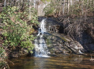
Wildcat Wayside Nature Trail
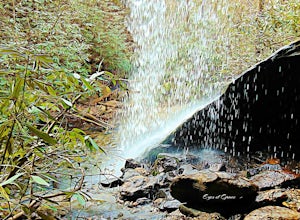
3.01.03 mi / 266 ft gainWildcat Wayside Nature Trail is a loop trail that takes you by a waterfall located near Cleveland, South Carolina.Read more -
Bureau of Indian Affairs Highway 506, North Carolina
Barrett Knob Fire Tower
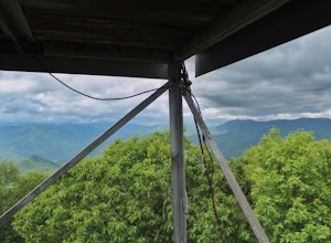
5.01.21 mi / 400 ft gainYour hike will start at the base of the Blue Ridge Parkway just a few miles from the start in Cherokee. The trail starts right off of the parkway in a very small easy to miss dirt road. There is a small area to park that then you start your hike up the dirt road right after the gate. The hike to ...Read more -
150 Asbury Drive, South Carolina
Hike the Asbury Trail to Moonshine Falls
5.5 mi / 800 ft gainThe trail to the Matthews Creek cable bridge crossing is easy. The cable crossing is fine - fun for some and a do-able challenge for others. After the creek, to get to Moonshine Falls, turn RIGHT at the post which indicates a trail both left and right. This is the Naturaland Trail in Caesars Hea...Read more -
Sylva, North Carolina
Pinnacle in Pinnacle Park
5.05.98 mi / 2142 ft gainHeading out from the parking area, head north on this challenging hike. For the majority of the hike, you'll have a pretty steady uphill charge. There are some flat parts between climbs, so be sure to catch your breath and get some water in during these times. Once you reach the fork, where you'...Read more -
Tuckasegee, North Carolina
Paradise Falls
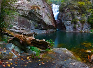
4.30.74 mi / 167 ft gainTo the north of Panthertown lies a chain of dammed lakes that are some of the most peaceful waters in Western North Carolina. These make up the headwaters of the East Fork of the Tuckasegee River. The gorges that run between the top lakes are wild, scenic, and adventurous to even the most experie...Read more -
Bluff City, Tennessee
Spelunk Worley's Cave
5.03.5 mi / 100 ft gainWorley’s Cave, also known as Morrill Cave, lies just outside of Boone across the Tennessee border. It is the second longest cave in the state of Tennessee at a whopping 4.4 miles in total length. It is a non-lit cavern that’s path is lit only by those who venture in its depths (i.e. headlamps, la...Read more

