Paul Smiths, New York
Looking for the best hiking in Paul Smiths? We've got you covered with the top trails, trips, hiking, backpacking, camping and more around Paul Smiths. The detailed guides, photos, and reviews are all submitted by the Outbound community.
Top Hiking Spots in and near Paul Smiths
-
Lake Placid, New York
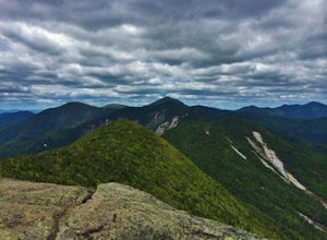
Great Range Traverse
20.15 mi / 6680 ft gainThe Summits: Mt. Marcy, Mt. Haystack, Little Haystack, Basin, Saddleback, Gothics, Armstrong, Upper Wolf Jaw, Lower Wolf Jaw, Hedgehog and Roostercomb. Total distance is around 25 Miles and an elevation change of over 17,600 feet (gain and loss). You will need to carry enough water for the day as...Read more -
Lake Placid, New York
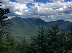
Hike to Street and Nye Mountains
4.08.4 mi / 2500 ft gainStreet Mountain is number 31 at 4,166’ and Nye Mountain is number 45 at 3,895’ on the list of 46ers. The trails to both peaks are not maintained making these “trailless peaks”, but there is a pretty defined herd path and cairns, making it fairly easy to follow.Parking is at the Adirondack High P...Read more -
Lake Placid, New York
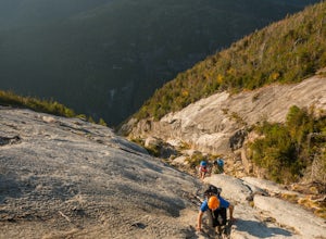
Hike Mt. Colden via the Trap Dike
4.014.5 mi / 2700 ft gainIn the summer, consider this hike for sunset, because what better way to hike one of the most beautiful trails in the Adirondack Mountains than by summiting at sunset and hiking back to your car under the stars? If you've rock climbed before or are simply comfortable with heights and high exposur...Read more -
Lake Placid, New York
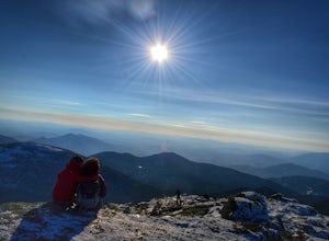
Hike Mount Marcy
4.713.94 mi / 3383 ft gainThe hike does offer several different terrains and an elevation gain of 3170 feet, which can make you feel like it's going to be a long day. There are four routes for summiting Mount Marcy. This is the most popular route and leaves from the Adirondack Loj. Once you hit the trail, you will head up...Read more -
Lake Placid, New York
Hike to Avalanche Pass
5.010.4 miStarting at the end of Adirondack Loj Road in the far right parking lot you will locate the trail register. After signing in you will follow the Van Hovenberg trail. At 1.0 mile you will reach a junction and turn left continuing an additional 1.3 miles to Marcy Dam. From here there are views o...Read more -
North Elba, New York
Hike Cascade & Porter Mountains
4.74.8 mi / 1900 ft gainCascade 4,098ft and Porter 4,084ft are two easy peaks which are usually hiked together. The trail starts on Rt 73 and you starts climbing up slowly but not challenging at all. Is 2.4 mIles to summit of cascade, the last 0.2 miles is a open rock scrambling but I'm the winter when the weather is b...Read more -
Keene Valley, New York
Climb Haystack, Basin & Saddleback
18 miThis hike starts in the Garden Parking Lot in Keene Valley, NY. The Garden parking lot (operated by the town of Keene) costs $7 per day from late April through the end of October (2014 rate). An attendant is on duty 1 p.m.-7 p.m. Fridays and 7 a.m.-7 p.m. Saturdays, Sundays, and holidays. Town e...Read more -
Keene Valley, New York
Hike Rooster Comb Mountain
5.2 mi / 1795 ft gainTake in two unique views of the Adirondacks on one hike. Rooster Comb offers a great 5.2 mile round trip hike that gives you some unique vantage points. Starting from the parking lot you cross over a nice wooden bridge to the trail registry. Remember to sign in. Next you'll come up on a pond in w...Read more -
Keene Valley, New York
Hike to Gothics Mountain, Pyramid Peak, and Sawteeth Mountain via Beaver Meadow Falls
4.014.3 mi / 4900 ft gainGothics Mountain is number 10 in height on the 46ers list, standing at 4,736 feet. Pyramid Peak stands at 4,550 feet, but because of it's location and closeness to Gothics, it is not considered one of the 46ers. Sawteeth is number 35 in height on the 46ers list, standing at 4,100 feet.This is a 1...Read more -
Keene Valley, New York
Hike to Mount Colvin and Blake Peak
4.014.6 mi / 4000 ft gainMount Colvin and Blake Peak are located along the Colvin Range in the High Peaks Wilderness. Mount Colvin is number 39 on the 46er list, at 4,057 feet. Blake Peak is is number 43 on the list, at 3,960 feet, although new surveying methods discovered this summit just short of 4,000 feet, tradition ...Read more -
Keene Valley, New York
Hike Indian Head and Fish Hawk Cliffs
4.310.4 mi / 2000 ft gainAt 10.4 mile long, this lengthy, but easy loop takes you to two ADK lower peaks. The views from Indian Head and Fish Hawk Cliffs will blow your mind away. I love stopping here every time I make my way to ADK. The colors are absolutely gorgeous in the fall. From the parking lot, take the lake road...Read more -
Keene Valley, New York
Hike to Noonmark Mountain
5.04.6 mi / 2300 ft gainThis trail actually begins off an easement of private roads at the Ausable Club. From the main road, you will see the Register and signage showing 2.1 miles to Noonmark. Continue on a gravel road until an arrow directs you to take a right into the woods. Follow the Stimson Trail to the summit. Th...Read more -
Newcomb, New York
Hike Goodnow Mountain
5.03.9 mi / 1089 ft gainThe trailhead is located on NY 28N and is marked by a white trailhead sign that you can't miss from the road. The highly used trail starts out fairly level, then at 0.5 miles begins to ascend steeply in some spots the rest of the way to the summit. The hike is 1.95 miles from the parking area to ...Read more -
Long Lake, New York
Hike to Owls Head Mountain Fire Tower in Sargent Ponds Wild Forest
5.06.2 mi / 1500 ft gainOwls Head Mountain is an Adirondack Fire Tower Mountain with an elevation of 2,812 feet. It is located in Long Lake in the Sargent Ponds Wild Forest and is a 6.2 mile out and back round trip hike. The trail head is located on Endion Ln, 2 miles north of the hamlet of Long Lake heading towards Tup...Read more -
Keene Valley, New York
Backpack the Dix Range
4.517 miDay 1The trail begins about a mile past the intersection of Rt. 73 and Rt. 9 just east of a bridge over the North Fork Boquet River. Note: this trail is unmarked, so be sure to have an accurate map of the area. I recommend going to The Mountaineer store in Keene Valley and asking one of the cler...Read more -
Long Lake, New York
Buttermilk Falls
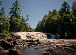
0.17 mi / 36 ft gainButtermilk Falls is an out-and-back trail that takes you by a waterfall located near Long Lake, New York.Read more

