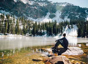
Rio Arriba County, New Mexico
Looking for the best hiking in Rio Arriba County? We've got you covered with the top trails, trips, hiking, backpacking, camping and more around Rio Arriba County. The detailed guides, photos, and reviews are all submitted by the Outbound community.
Top Hiking Spots in and near Rio Arriba County
-
Abiquiu, New Mexico
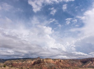
Hike to Chimney Rock at Ghost Ranch
4.53 mi / 600 ft gainStart your adventure by checking in at the Ghost Ranch Visitor Center, then find the trailhead just behind the building. You'll quickly drop down through an arroyo and then walk through a gate. The trail begins to climb briefly then flattens out with beautiful views across to Pedernal and the Pie...Read more -
Jemez Springs, New Mexico
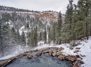
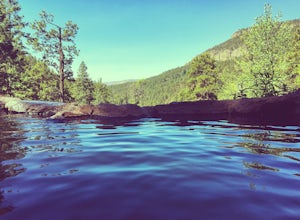
San Antonio Hot Springs
4.61.46 mi / 312 ft gainThese hot springs are a short hike from the parking area along the top of Forest Service Road 376. I've added additional details below in the event that the road is closed due to seasonality or you prefer to stretch your legs for a significantly longer, yet scenic hike. The GPX track is displayin...Read more -
Rio Arriba County, New Mexico
Backpack the Vacas Trail Loop
4.015 mi / 1000 ft gainYou start at the hiking at base of the the San Pedro Wilderness at the San Gregorio Lake Trailhead! This particular hike is called the Vacas Trail loop.For directions: Take US 550 to Cuba (north west of Albuquerque), turn east on NM 126 and go for about 9 miles. Just past the community of Deer La...Read more -
Jemez Springs, New Mexico
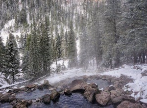
San Antonio Hot Springs via Thompson Ridge Route
5.02.66 mi / 469 ft gainAlthough you can reach these hot springs via the main trail in the winter, the Thompson Ridge route is a shorter option that comes in from above the springs rather than below. If you go in winter, you'll need winter route finding skills for the trail (there's no signage at any point) and an all w...Read more -
Jemez Springs, New Mexico
Dip into Spence Hot Springs
4.01.2 mi / 193 ft gainExit Interstate 550 and head North on Highway 4 heading towards Jemez Springs. The Spence Hot Springs Parking Lot and Trailhead is about 25 miles North off Highway 4. The trail starts on a decline into the canyon for about 800 feet before you cross the bridge over the scenic river. Continue follo...Read more -
Jemez Springs, New Mexico
Climb Las Conchas
5.05 mi75 minutes north of Albuquerque, Las Conchas is a trailhead that sits right off the highway with two accessible, although small, parking lots. Right out of the gate the wide and well worn trail drops down to follow the river north through a wide mountain valley lined with large stands of trees, ...Read more -
La Senda de Medio Trailhead, New Mexico
Hike La Senda de Medio Trail
5 miIf you find yourself in Taos for the weekend, the La Senda del Medio trail is a perfect hike to add to your adventure. About 20 minutes south of town and located in Rio Grande del Norte National Monument, this trail follows the Rio Grande for 2.5 miles and connects 5 different campgrounds. The tr...Read more -
Los Alamos, New Mexico
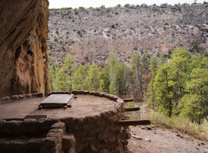
Hike to Alcove House
4.62.2 mi / 140 ft gainStart your hike from the Visitor's Center and head out on the Main Loop Trail to begin. You can hike the loop in either direction, either first crossing the river across from the Visitor's Center or heading out from directly behind the Center. If you start from across the river, you'll begin with...Read more -
Los Alamos, New Mexico
Hike the Main Loop Trail at Bandelier National Monument
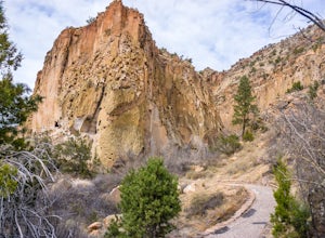
5.01.2 mi / 150 ft gainBandelier National Monument encompasses over 33,000 acres of public land, including Frijoles Canyon, the home of the Ancestral Puebloans that once lived in the area. The park has miles of trails to explore the rugged countryside, but the main attractions are the cliff dwellings you'll find on the...Read more -
El Prado, New Mexico
Hike the Rio Grande Gorge Bridge Trail
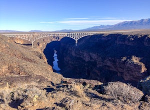
6 miDrive 12 miles west of Taos, New Mexico on US Hwy 64, and you'll drive directly onto the Rio Grande Gorge Bridge that spans 1,280 feet. There's a rest area to the west of the bridge with a parking lot, sitting area, and if you're lucky like we were, a converted sky blue bus selling homemade desse...Read more -
5 Reyna Road, New Mexico
Relax in Black Rock Hot Springs
0.3 mi / 68 ft gainAt the last switchback on Country Road B-007, is where the trailhead is located. if you've gone to the lowest point possible within the canyon, right next to the river, you have gone too far and need to turn around to the last switchback. it is an easy .3 Mile trail with a 68 foot elevation drop/...Read more -
El Prado, New Mexico
Manby Hot Springs
2.31.5 mi / 300 ft gainNOTE: The Hot Springs are on private property and are no longer accessible to the public. The Basics: Hot springs abound in the Taos area. From the all-inclusive (and expensive) Ojo Caliente Mineral Springs Resort to free, primitive hot springs like this one or neighboring Black Rock Hot Spr...Read more -
Jemez Springs, New Mexico
Hike at Kasha-Katuwe Tent Rocks National Monument
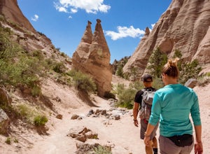
4.93 miHiking at Tent Rocks is a must-do for anyone in the northern New Mexico area. It's an accessible trail that gives you incredible rewards with little effort. The cone-shaped "tent rocks" are the result of erosion following a volcanic explosion 6-7 million years ago, making for some incredible and ...Read more -
Chamisal, New Mexico
Hike to the Trampas Lakes in Carson National Forest
4.911 mi / 2400 ft gainThis hike is worth its weight in gold. By far one of the most beautiful places in all of New Mexico. Located in the Carson National Forest, the options for camping are limitless. Did I mention this is ranked one of New Mexico's best hikes yet it rarely gets done. The potential for solitude is ver...Read more

