Jefferson, New Jersey
Looking for the best photography in Jefferson? We've got you covered with the top trails, trips, hiking, backpacking, camping and more around Jefferson. The detailed guides, photos, and reviews are all submitted by the Outbound community.
Top Photography Spots in and near Jefferson
-
Stockton, New Jersey
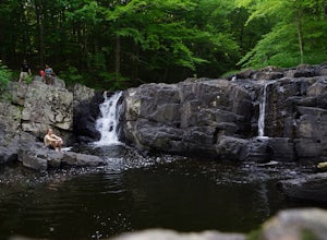
Hike to the Hidden Lockatong Waterfall
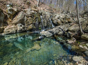
3.72 miIf you're on Kingwood Stockton Road, there will be a dirt road with a Lockatong Nature Preserve sign before it (going north on Kingwood Stockton Road, the sign will be on your left. If you're driving south, the sign will be on your right). Just drive all the way until the end of the dirt road and...Read more -
Beacon, New York
Explore Long Dock and Dennings Point Parks
4.0Long Dock and Dennings Point are two of the most popular parks in Beacon, that just so happen to be connected by a train track turned trail. Plenty of parking is available at Long Dock, and its a perfect spot to picnic, launch your kayak into the Hudson, or cast your line hoping to reel in the bi...Read more -
Beacon, New York
Mt. Beacon Fire Tower
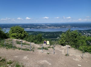
4.83.83 mi / 1332 ft gainMount Beacon is a very popular trail along the Hudson River, and for good reason. It offers a good workout, fantastic views for both sunrise and sunset (and of course the time in between), a recently rebuilt fire tower, and all with incredibly easy access right on the edge of a lively town. The ...Read more -
Beacon, New York
Malouf's Mountain Camp on Mt. Beacon
7.02 mi / 2087 ft gainStarting in the quaint town of Beacon there are a couple of options for hikes of varying difficulty. From the station the walk is about 1.5 miles to the trail heads, alternatively if you choose to stay the night at Malouf's Mountain Sunset Campground you can arrange for the host to meet you, take...Read more -
Beacon, New York
Hike the Scofield Ridge Loop
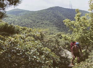
7.5 mi / 1850 ft gainThere are some great view points along this route. Start from the Mount Beacon Park trailhead parking area. This leads to the Casino Trail (red markers). The trail climbs steeply to some old ruins of a casino. Most of what remains is only the brick structure housing the mechanics for a trolle...Read more -
Frenchtown, New Jersey
Hike to the Devil's Tea Table
3.00.5 mi / 20 ft gainApart from the rock, there's more trail to follow for a stunning overview and a great spot to hang out and relax. The view is a must-see, it is so much better in person. The hike is not challenging at all, it is basically a straight trail. Climbing some medium sized rocks might be required, but i...Read more -
Princeton, New Jersey
Visit the Princeton Battlefield Park Suspension Bridge
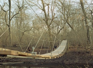
4.80.5 miTo find this bridge, you essentially park at the Princeton Battlefield Park and walk all the way down towards the woods (you'll pass an old house if you're going the right way). When you enter the woods there will be a tight trail but it will quickly open up. When it does, you want to take a left...Read more -
Cold Spring, New York
Hike the Perkins/Fahnestock/Charcoal Burners Trail Loop
7.5 mi / 800 ft gainThis is one of my favorite hikes in the Clarence Fahnestock State Park. A real mixed bag but mostly very enjoyable. The trail starts at the Charcoal Burners Trailhead Route 301. There is only road side parking on a soft shoulder, both sides of the road. After a short walk into the forest, you re...Read more -
Beacon, New York
Hike Fishkill Ridge
Fishkill Ridge is a strenuous but rewarding hike, and one of the less known areas in the Hudson Valley. The parking area is at the very end of Sunnyside Road in Beacon, along with the information board at the trailhead. The red trail leaves the lot and will take you up to the first peak on the ri...Read more -
Stockton, New Jersey
Explore Kugler Woods Waterfall
4.00.5 miDrive 5.2 miles north on Route 29 from the center of Stockton, NJ and you will come across a very small parking lot on the left side of the road. If you park your car there, walk back south on Route 29 about 50 feet, and cross over to the woods-side of the road. There you will find the trailhea...Read more -
Tinicum Township, Pennsylvania
Hike the High Rocks State Park Loop
4.61.5 miHigh Rocks State Park, a section of Ralph Stover State Park, offers visitors some of the best views in Eastern Pennsylvania. Across from the parking lot on Tory Road, you will find the main trailhead. This will lead you to several different trail options, all varying in length, and all bringing y...Read more -
Hopewell Junction, New York
Beaver Pond via Appalachian Trail
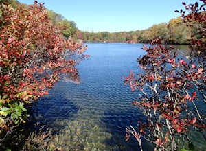
5.03 mi / 400 ft gainBeaver Pond is a small body of water created by a dam that was constructed during the days of iron ore mining in the area. The pond is crystal clear and has a wonderful tree line right on the water. The best time to visit here is early morning in the fall. With the leaves changing color they m...Read more -
Lambertville, New Jersey
Hike the Goat Hill Overlook
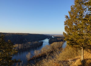
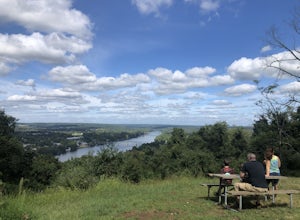
1 miHike a short and easy path up a hill to the Goat Hill Overlook where you'll have a wonderful view of the Delaware River and New Hope, PA. Put 'Goat Hill Overlook' into your maps and you will be led right to the trailhead where you can easily park in the gravel parking lot or on the side of the pa...Read more -
Lambertville, New Jersey
Mountain Bike Dry Run Creek Trail
1 miThis short trail runs alongside a small creek, and is a perfect spot for mountain biking and running. There is a small parking lot right at the trailhead, making this spot very convenient to access. It is not a very challenging ride, although there are a few ruts that can be messy if it has recen...Read more -
Hopewell Township, New Jersey
Hike the Baldpate Mountain Loop
5.01.25 miThe parking lot on Pleasant Valley Road provides access to the trailhead for this 1.25 mile loop hike.Starting at the trailhead, take the Ridge Trail (white) going West. The ridge trail is wide and flat, and branches off to many other smaller trails throughout the preserve.After about 0.25 miles...Read more

