Cedar Grove, New Jersey
Top Spots in and near Cedar Grove
-
Cornwall, New York
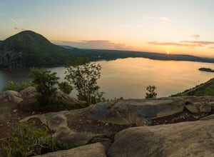
Hike the North Point Loop
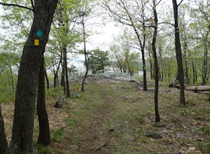
6.5 mi / 1400 ft gainThere is three different trailheads to access the North Point Loop. I chose the trailhead that would give me the longest hike. That would be the Butter Hill parking area on Route 9W north. From the parking lot, start on the connector trail designated with white markers. Follow this for about ...Read more -
Princeton, New Jersey
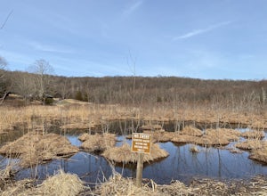
Mountain Lakes Nature Preserve Loop
4.52.3 mi / 157 ft gainAn 8-mile network of maintained trails traversing this Preserve, Mountain Lakes North, John Witherspoon Woods,parts of Tusculum (private) and Community Park North makes a variety of loop hikes possible. Pathways include a boardwalk (over wetlands) and paved bicycle roads. Click here for a trail...Read more -
Cold Spring, New York
Photograph Indian Brook Falls
2.8This is about as short a walk and as little effort as you can put in for a beautiful waterfall. You can barely call it a hike, but I'll list it as such since you do walk through the woods for 5 minutes. The trail is extremely well built, and is pretty easily accessible through the winter.The trai...Read more -
Lehman township, Pennsylvania
Hike to Hornbeck's Creek Waterfall
4.31.2 miGPS Coordinates: 41.187148,-74.885454Driving Directions: From 209, enter into the Delaware Water Gap and in between the 10 and 11 mile markers you will see a sign for Hornbecks Creek with a gravel road adjacent to it. Follow the road back until you reach the parking lot and the trail will be to t...Read more -
Dingmans Ferry, Pennsylvania
Canoe and Camp in the Delaware Water Gap
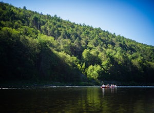
4.7This is one of those easy, simple and truly relaxing adventures you can embark on this summer. Thanks to outfitters such as Kittatinny Canoes you'll have everything ready for you when you arrive, minus of course your camping gear. They will pick you up at the destination of your choice along the ...Read more -
Cornwall-on-Hudson, New York
Hike the Stillman - Bluebird Loop
5.4 mi / 1200 ft gainThis loop hike starts at the northern trailhead of the park where the Stillman Trail begins. The parking area has enough space for only 6 or 7 cars. Start off on a wide maintained carriage road. After about a half mile, the Stillman Trail (yellow markers) breaks of to the left. However, stay ...Read more -
Cold Spring, New York
Kayak the Hudson River in Cold Spring
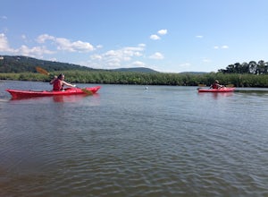
North of New York City by 90 minutes lies the town of Cold Spring in the Hudson Valley. Cold Spring has a hometown quality with a Main Street, a firehouse, and art galleries of local artists. Despite its proximity to NYC, locals maintain a slower pace and enjoy many outdoor activities. Just a sho...Read more -
Hopewell, New Jersey
Hike through the Sourland Mountain Preserve
5.02.91 miThe Sourland Mountain Preserve stretches from Hunterdon County all the way into Somerset County. The trails referenced here are on the southwest side of the preserve in Hunterdon County. They are accessible from an on site parking lot at 233 Rileyville Road in Ringoes NJ.There are several trails ...Read more -
Cold Spring, New York
Mt. Taurus (Bull Hill)
4.53.52 mi / 1375 ft gainMt. Taurus (or Bull Hill) is a short, family and dog friendly, hike just outside the town of Cold Spring, easily accessible by car or taking the train into town. It snakes along the edge of an old quarry that is just now being retaken by nature and provides lookouts towards the Hudson, other near...Read more -
Cold Spring, New York
Hike the Cornish/Brook/Notch/Washburn/Undercliff Loop
8 mi / 1500 ft gainThis loop is a great option to avoid crowds on the west side of the Washburn trail. Start at the same trailhead for the Washburn Trail. The Cornish Trail is on the left and there is an obvious sign at the trail split a few feet from the parking area. The Cornish Trail is an old road from about...Read more -
Cold Spring, New York
Hike the Washburn/Nelsonville/Undercliff Loop
7.2 mi / 2000 ft gainThis is a difficult loop hike that has several different starting points. I chose to start at the Washburn Trail Head, which is the lowest starting point you can select. Nearly on the Hudson River, the trail ascends immediately along a well maintained road designated by white disc markers. Aft...Read more -
Dingmans Ferry, Pennsylvania
Hike to Indian Ladder Falls Along Hornbecks Creek
3.52 mi / 400 ft gainFor some time, the trail was eroded above the first falls on Hornbecks Creek, not allowing hikers to access the creek's upper falls if they were coming upstream from Route 209. I am writing this in June 2017 and that is no longer the case! You can hike from Rt. 209 all the way up the creek to Eme...Read more -
Cold Spring, New York
Sugarloaf Mountain and Breakneck Ridge Loop
4.74.33 mi / 1562 ft gainThe Breakneck Ridge to Sugar Loaf Loop gives rise to various bypasses that offer hikers moderate to advanced terrain and multiple rock scrambles. The loop entails a total elevation gain of 1,670 feet and a total distance of 5.5 miles. The start of the trail begins at the (white blazes) at the no...Read more -
Cold Spring, New York
Breakneck Ridge Loop
5.05.91 mi / 1526 ft gainThis short but steep loop hike in Hudson Highlands State Park offers multiple panoramic views of the Hudson River along the way. Please note that only experienced hikers should attempt this route – although the hike seems short, the elevation gain and steep rocky scrambles offer serious technical...Read more -
Pound Ridge, New York
Leatherman's Loop
1.25 mi / 1183 ft gainThis loop trail is moderately rated and reaches a total elevation gain of approximately 1,183 feet. It’s located in the Ward Pound Ridge Reservation, which spans roughly 4,315 acres. It is Westchester County’s largest park and includes roughly 35 plus miles of hiking trails to explore. The Ward...Read more -
Princeton, New Jersey
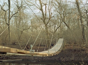
Visit the Princeton Battlefield Park Suspension Bridge
4.80.5 miTo find this bridge, you essentially park at the Princeton Battlefield Park and walk all the way down towards the woods (you'll pass an old house if you're going the right way). When you enter the woods there will be a tight trail but it will quickly open up. When it does, you want to take a left...Read more

