Stewartstown, New Hampshire
Looking for the best photography in Stewartstown? We've got you covered with the top trails, trips, hiking, backpacking, camping and more around Stewartstown. The detailed guides, photos, and reviews are all submitted by the Outbound community.
Top Photography Spots in and near Stewartstown
-
Colebrook, New Hampshire
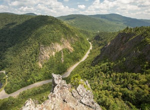
Hike to the Top of Table Rock
4.31.52 mi / 715 ft gainThough the trail may seem a bit daunting at first (especially for beginners), this out-and-back hike isn't all that difficult. At the trailhead (located almost directly behind the sign "Entering Dixville Notch State Park"), you'll begin by walking through some densely wooded forest. The trail is ...Read more -
Coaticook, Québec
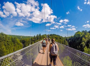
Hike the Parc de la Gorge de Coaticook Yellow Trail
5.02.18 mi / 164 ft gainHiking trails at Parc de la Gorge de Coaticook are spread into 3 sectors to reveal the park’s attractions.For a day trip I will suggest doing the yellow trail, which is the one we did. It will bring you directly into the heart of the Gorge. It is quite a short hike, 1h30-2h00 and you'll get the c...Read more -
Coaticook, Quebec
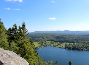
Mount Pinacle
1.5 miWe came from Parc de la Gorge on Ch de Baldwin-Barnston road, which leads you to the Parc Harold F Baldwin area. Turn left onto Ch May and park your car in the parking area that is next to a small shop/cafe. There are signs at this point. Walk up the hill a bit until you reach the blue Mt. Pinac...Read more -
Pittsburg, New Hampshire
Hike to Fourth Connecticut Lake
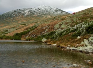
2 mi / 350 ft gainThe Fourth Connecticut Lake is a northern glacial tarn, just 2.5 acres in surface area. The mighty Connecticut River is just a small babbling brook as it leaves Fourth Connecticut Lake. It's only about 200 yards from the Canadian border. The 78-acre area is a nature sanctuary preserved by The Nat...Read more -
Bald Mountain Road, Maine
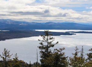
Hike Bald Mountain in Rangeley
2.3 mi / 931 ft gainThe trail itself has a gradual incline over the course of the 1.15 miles to get to the top. There are a few steeper sections near the top, but completely manageable even for a beginner. There is another trailhead off of route 4, which would lead to a longer hike, around 4 miles. When coming from ...Read more -
Maine 26, Maine
Hike Eyebrow Trail to Old Speck Mountain Loop
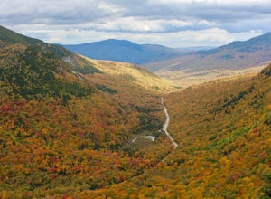
7.8 mi / 3000 ft gainThe first time I attempted this trail was in mid April, and the slush and mud I encountered was absolutely unbelievable. Snowshoes were useless. Crampons were useless. Boots alone meant dirty, wet, muddy feet. So, I had to bail. But I came back in October and I’m so glad I did because the views o...Read more -
Jefferson, New Hampshire
Summit Mount Waumbek via the Starr King Trail
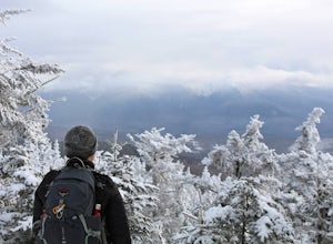
5.07.2 mi / 1500 ft gainThe hike starts out at the Starr King trailhead because you will summit Starr King Mountain (3,907 ft - so close to being a 4000 footer!) before moving on to Waumbek. The 2.6 miles that it takes to get to the first summit are gradual and forgiving. The majority of the total elevation is completed...Read more -
Newry, Maine
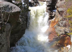
Photograph Screw Auger Falls
4.00.2 mi / 6 ft gainAfter parking in the allotted parking area at screw auger, make your way down to the falls to explore! There are several "smaller waterfalls" that the river flows over before making its way to the 27 foot main attraction. Going in April, the falls were at their most powerful. It made taking pictu...Read more -
Orford, Québec
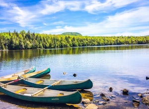
Canoe or Kayak at Lake Stukely
Discover Lake Stukely beach, a magnificent supervised beach with clear water and equipped with a playground for children. Guaranteed pleasure for the whole family! On-site services: Snack bar, convenience store, boutique, boat rental, toilets). On site, you can rent canoe, kayak, pedalo, SUP padd...Read more -
Jefferson, New Hampshire
Hiking at Pondicherry Wildlife Refuge
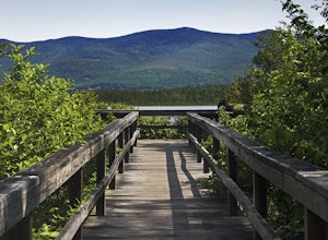
4.5As hiking in the White Mountain area goes, this is a pretty easy one. This is a family friendly hike along a rail trail and well maintained forest trails. The main attraction here isn't the difficultly. The main attraction here is the spectacular views and the abundant wildlife.This trail begi...Read more -
Randolph, New Hampshire
Summit Mount Jefferson, Mount Clay, and Mount Washington
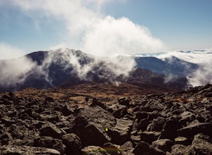
4.010.5 mi / 4455 ft gainHike with at least one other and take two cars. First drop one car at the Cog Railway parking lot (Base Station Rd, Bretton Woods, NH). Jump into the second car and drive about 15 minutes to the Caps Ridge Trailhead on Jefferson Notch Road ( N 44° 18' 15"W 71° 21' 42" )The Caps Ridge Trail will l...Read more -
Randolph, New Hampshire
Hike Mount Jefferson
5 mi / 2700 ft gainMount Jefferson stands at 5712 feet, the third tallest mountain of the Presidential's in the White Mountain National Forest. The trail head begins at the Caps Ridge Trail on Jefferson Notch Rd. While 2.5 miles sounds easy, this hike is not for the once in while day hiker. Challenging rock scrambl...Read more

