Nevada
Looking for the best photography in Nevada? We've got you covered with the top trails, trips, hiking, backpacking, camping and more around Nevada. The detailed guides, photos, and reviews are all submitted by the Outbound community.
Top Photography Spots in and near Nevada
-
Boulder City, Nevada
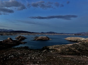
Hike the Sunset View Trail
4.00.1 mi / 0 ft gainThe trail is .1 miles, and is perfect for all skill levels and for families who want to see some of the scenery in Lake Mead National Recreation Area. The trail is accessible year round and allows dogs.Read more -
Empire, Nevada
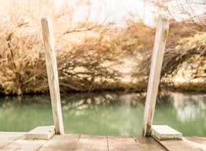
Soak in The Frog Pond Warm Spring
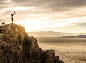
The Frog Pond on the east side of the Black Rock Desert playa just off of County Road 49 aka Jungo Road about 15 miles from Gerlach, is a more-warm-than-hot-spring with temperatures roughly in the high 90s. The trees and plants that overhang the spring create a unique microclimate that serves as ...Read more -
Fallon, Nevada
Hike Grimes Point Archaeological Site
5.01 mi / 400 ft gainFrom Fallon, Nevada on US-Hwy 50, head east for 7 miles until you see the sign for Grimes Point on your left. The area offers mutiple miles of hiking and biking trials to small peaks overlooking the Fallon area. The main focus of the area is the historical interpretive 1/4 long petroglyphs trail....Read more -
Baker, Nevada
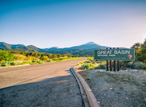
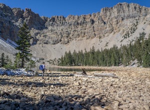
Camp at Upper Lehman Creek Campground, Great Basin NP
Great Basin National Park is located just a few miles east of the Nevada/Utah border in White Pine County. This beautiful park lies approximately 4.5 hours northeast of Las Vegas, NV and about 4 hours southwest of Salt Lake City, UT near the small town of Baker, NV. The Upper Lehman Campground is...Read more -
Glenbrook, Nevada
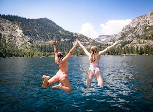
Explore Emerald Bay by Boat from Zephyr Cove
Zephyr Cove on the eastern shore of Lake Tahoe is a fantastic starting point for a host of water sports and activities including a boat ride across Lake Tahoe to explore Emerald Bay. To get to Zephyr Cove take Highway 50 north for 7 miles out of South Lake Tahoe and turn left into the Zephyr Cove...Read more -
Glenbrook, Nevada
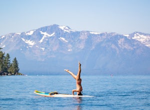
Stand Up Paddle Board Zephyr Cove
Zephyr Cove on the eastern shore of Lake Tahoe is a fantastic starting point for a host of water sports and activities and given the protected nature of the cove, a great place to do stand up paddle board. Depending on the time of year and the water level on the northern end of the beach there ar...Read more -
Nelson, Nevada
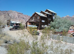
Explore Nelson Ghost Town
Driving from Henderson, NV, you can take the scenic HWY 165 to the Ghost Town of Nelson. Stop and check out the trading post to learn more about what you're visiting. There are lots of old buildings (some open to the public), old cars, buses, and ruins of an old mine.Read more -
Las Vegas, Nevada
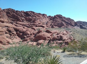
Drive the Red Rock Canyon Scenic Loop
4.512 miBegin your drive from the visitor center. Drive along the scenic highway and stop at one of the multiple parking areas to get out of the car, stretch your legs, and hike some the trails starting from the parking area. There is a variety of easy to moderate difficulty trails stemming from the park...Read more -
Humboldt County, Nevada
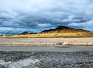
Hike Black Rock Point
1.5 mi / 500 ft gainOverlooking the Applegate & Overland Emigrant Trail Split, Black Rock Point is a large, dark rocky outcropping from which the Black Rock Desert derives its name. The views are perhaps the best in the entire Black Rock Desert - High Rock Canyon Emigrant Trails National Conservation Area. The h...Read more -
Mount Charleston, Nevada
Trail Canyon in the Mt. Charleston Wilderness
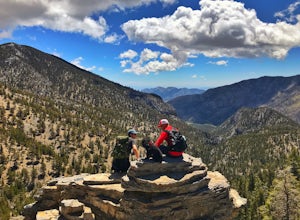
3.82 mi / 1588 ft gainTHE TRAIL The Trail Canyon Trail is a 3.8 mile out-and-back moderately trafficked route located in the Mt. Charleston Wilderness located approximately 45 minutes northeast of Las Vegas, NV. This difficult trail offers access to Mt. Charleston Peak, the western side of the Mummy Mountain Trail,...Read more -
Fallon, Nevada
Catch a Sunset at the Stillwater National Wildlife Refuge
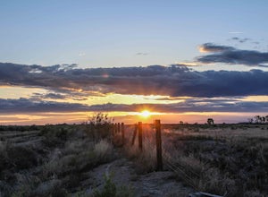
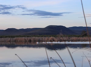
1 mi / 0 ft gainFrom Fallon, Nevada on US-Hwy 50, head east for 5 miles to NV-116. Turn Left onto NV-116 and take this road for 12 miles until you reach the Stillwater Wildlife Refuge. From the intersection of Stillwater Rd and Hunter Rd, you can head North on Hunter Rd, which leads to hiking trails or you can c...Read more -
Fallon, Nevada
Catch a Sunset At Sand Mountain
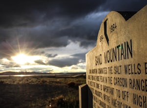
1 mi / 600 ft gainThe Sand Dunes are located along "The Loneliest Road in America" US-Hwy 50, 85 miles east of Reno, Nevada. The 650 foot high, and almost 5,000 acres of rare dunes are literally in the middle of no where. From Fallon, Nevada on US-Hwy 50, head east for 25 miles until you see the dunes just off the...Read more -
Baker, Nevada
Hike to Baker Peak, Great Basin National Park
15 mi / 4000 ft gainClustered in arguably Nevada's highest mountain group, Baker Peak is the state 4th highest peak, right behind the neighboring Jeff Davis and Wheeler Peaks. Because Baker is slightly overshadowed by its neighbors, it sees very little traffic. Baker Peak is rugged, wild, and requires a long approac...Read more -
Carson City, Nevada
Kings Canyon Falls
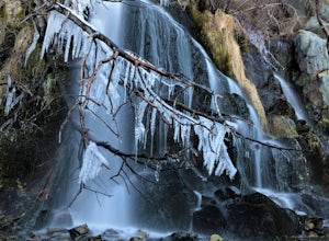
4.00.63 mi / 233 ft gain...Living in California, I know all about waterfalls! For me personally though, no matter the shape or size of the waterfall, it has my interest. Now when it comes to Nevada, I honestly can't think of too many waterfalls off the top of my head, but when you're passing through a town that you're u...Read more -
Fallon, Nevada
Visit the Stillwater National Wildlife Refuge
From Fallon, Nevada on US-Hwy 50, head east for 5 miles to NV-116. Turn Left onto NV-116 and take this road for 12 miles until you reach the Stillwater Wildlife Refuge. From the intersection of Stillwater Rd and Hunter Rd, you can head North on Hunter Rd, which leads to hiking trails or you can c...Read more -
Boulder City, Nevada
PWC Beach in Lake Mead National Recreation Area
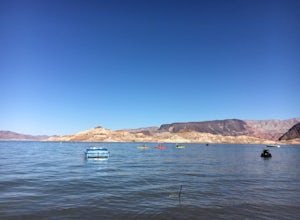
4.3This man-made lake on the Colorado River is underrated in my opinion. It has everything an outdoor enthusiast could want from scuba diving, hiking, horseback riding, all kinds of water sports, and plenty of camping options. This beach is near Boulder City. Use the Boulder City Entrance, g...Read more

