Montana
Discover Montana adventures like skiing, hiking, backpacking, and more. Find unique places to stay across the state, and local adventure tours in iconic destinations like Yellowstone National Park.
Top Spots in and near Montana
-
Seeley Lake, Montana
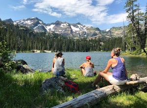
Hike to Crescent Lake
9 mi / 1500 ft gainAn hour drive north of the town of Seeley Lake Montana is the Glacier Lake Trailhead and the starting point for your hike. Glacier Lake Trailhead is a popular trailhead, and the parking lot can fill up quickly on hot summer weekends since it provides access to trails which lead to three different...Read more -
McAllister, Montana
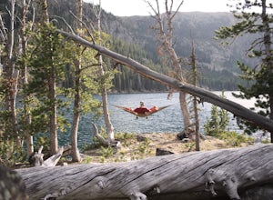
Camp at South Meadow Creek Lake
4.0To access the lake, take South Meadow Creek Road that exits US 287 at McAllister, MT. This dirt road will head west into the Tobacco Roots before turning into FS Road 1221 approximately 3 miles before the lake. If you are in a vehicle not equipped for off-roading, park your vehicle where FS Road ...Read more -
West Glacier, Montana
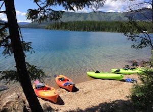
Kayak Lake McDonald
5.0Rent kayaks at the shore of Lake McDonald and take them out for the day. Make sure to start early to get a full day in and leave yourself enough time to stop for lunch. There are multiple places to pull off and bring your kayaks onto the shore and do some small hikes. The views are spectacular fr...Read more -
Flathead National Forest, Montana
Hike Montana's Swan Crest Trail
47 miGetting There: Coming from Seeley Lake, take the road towards Bigfork. Continue until you get to mile marker 27 and turn right into the Morrell/Clearwater turn off. Stay on the road most traveled until you dead end at the trail head roughly 7 miles up the road. Park here. The Trail: The trail ...Read more -
Wise River, Montana
Hike to Lower and Upper Seymour Lakes
5.012 miThere are so many wilderness areas to choose from in Montana, it can be quite overwhelming. But try this on for size: the Pintlers are essentially Glacier National Park, without the people. Not only does it traverse the CDT, but chances are you won't see a lot of people, if any, on your adventure...Read more -
Mc Leod, Montana
Hike to the Natural Bridge Falls
5.02 mi / 300 ft gainAlthough this recreation area is at minimum 30 minutes out from any town, the road leading to the location is amazing and allows for some sweet views. Once you arrive, there will be a relatively small, paved place to park as well as bathrooms. Right behind the bathroom is the start to the trail.T...Read more -
West Glacier, Montana
Bowman Lake to Quartz Lake Loop
5.013.3 mi / 2618 ft gainThe trail to Quartz lake begins on southend of the Bowman Lake beach. I recommend going in a clockwise direction and getting the steep bit out of the way, but the ~13 mile loop can be done either way. Follow the Bowman Lake shore on the West Lakes Trail for about half a mile and then you will fi...Read more -
Roscoe, Montana
Backpack Granite Peak
5.014 miThere are a few ways to approach Granite Peak. The most popular route is the Mystic Lake trail in West Rosebud. It lies primarily on opinion as to which route is the best, easiest, or most scenic. I chose to start at the Phantom Creek trailhead in the East Rosebud Valley. You will follow this tra...Read more -
Browning, Montana
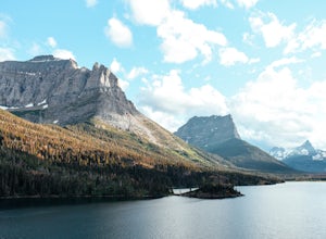
Hike to Sun Point
5.01.6 mi / 250 ft gainWith panoramic views of St. Mary Lake and it’s surrounding peaks, Sun Point is the perfect spot to chill/relax in Glacier National Park. It can be reached via the Sun Point Nature Trail or the Sun Point picnic area.To reach Sun Point via the nature trail, start at Sunrift Gorge parking area. Cl...Read more -
East Glacier Park, Montana
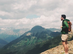
Dawson Pass
5.012.01 mi / 2450 ft gainThis is a somewhat strenuous but extremely rewarding hike in Glacier National Park. It is much less crowded than the more popular Logan Pass and High Line trails, and in my opinion, more rewarding. Dawson Pass is on the Continental Divide at an elevation of 7,598 feet. It sits between Mt. Helen ...Read more -
Glacier County, Montana
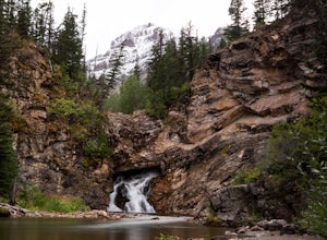
Running Eagle Falls
5.00.68 mi / 33 ft gainRunning Eagle Falls is located just 1.1 miles west from the Two Medicine entrance in Glacier National Park. The trailhead parking lot is just off the main road going to the lake– it is essentially impossible to miss. It mimics parking spots on the side of a city street. This hike is handicap ac...Read more -
Browning, Montana
Ptarmigan Tunnel
5.010.68 mi / 2713 ft gainThis amazing 11 mile hike with 2,300 feet of vertial gain begins behind the Swiftcurrent Motor Inn cabins. If you start early enough you can park by the trailhead, but if you get a little later start you may need to park in the main lot of the Motor Inn. As you begin your hike, you will pass the...Read more -
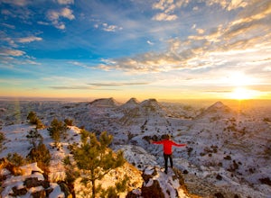
Terry Badlands, Montana
Exploring Terry Badlands
5.0Terry, Montana is a quaint little Southeastern Montana town of about 600 with great food and friendly people. Just 20 minutes down the road you'll find yourself on top of a bluff in the "Terry Badlands" with endless views in every direction. To get there leave Terry heading north on Highway 253 ...Read more -
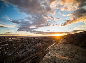
Billings, Montana
Explore The Rimrocks
5.0The Rimrocks (also known as the "Rims") are geological rimrock sandstone formations that outcrop in Billings, Montana. Eighty million years ago the Billings metro area was the shore of the Western Interior Seaway, a sea that went from the present-day Gulf of Mexico to the Arctic North. Sediment a...Read more -
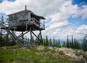
Libby, Montana
Hike to Kenelty Mountain Lookout
10.1 mi / 3502 ft gainStarting from Kalispell, take Hwy 2 west towards Libby. Follow the highway for 62.5 miles until mile marker 57 and turn right in 0.3 miles on to a cut across road for 0.3 miles. Take a left on to Road 763 and follow this road for 3.4 miles and take a right on to an unnamed road for 1.8 miles and ...Read more -
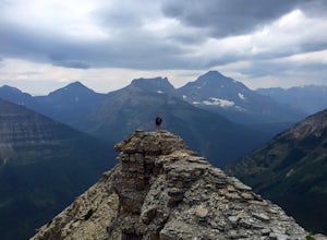
Glacier County, Montana
Pitamakan Pass
15.36 mi / 3064 ft gainThis gripping, 16 mile round trail reveals adventure at every turn. Nestled behind Pray Lake in Glacier National Park, the Pitamakan Pass hike will begin at the North Shore Trailhead. To access this trailhead, a fifteen dollar fee may be payed to cross Pray Lake by boat. If your pocket book is ru...Read more

