Montana
Discover Montana adventures like skiing, hiking, backpacking, and more. Find unique places to stay across the state, and local adventure tours in iconic destinations like Yellowstone National Park.
Top Spots in and near Montana
-
West Glacier, Montana
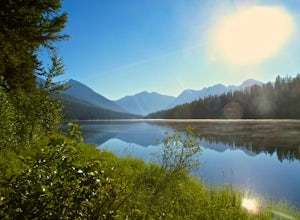
Backpack to Logging Lake
8.8 miBackcountry camping is the best plan if you’d like to visit Logging Lake, and the primitive campsites lay at the end of a four and a half mile hike through some of the most unspoiled sections of the park. The trail follows logging creek most of the way to the lake traversing through a variety of ...Read more -
Park County, Montana
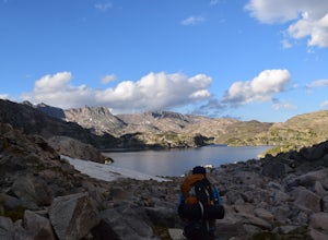
Backpack the Aero Lakes to Granite Peak
26 mi / 6200 ft gainGranite Peak is considered one of the most difficult state high-points, for its remoteness and its climbing challenge. Unfortunately, the access to this route is very remote. Fortunately, this route to the summer is the easiest way up in terms of the technical climbing challenge. This route, k...Read more -
Browning, Montana
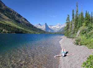
Backpack to the Foot of Glenns Lake
20.6 mi / 950 ft gainStarting from the Chief Mountain Parking Area, take the trail to the left of the bathrooms at the end of the parking lot (left of the bathrooms if you are facing the bathrooms and the main road is to your right). You will quickly hike to a wooden kiosk. Read this kiosk for any pertinent informati...Read more -
Bigfork, Montana
Summit Swan Peak
18.49 mi / 6180 ft gainThis hike is about an hour drive south from Kalispell. Follow MT-83 S for about 47 mi. towards and past Swan Lake. Take a left on NF-554 and follow the road for 1.6 mi. and take a right on Squeezer Creek Rd. and follow the road for 4 mi. to a gated road and park near the gate. Follow the gated ro...Read more -
Glacier County, Montana
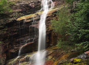
Ptarmigan Falls
5.05.11 mi / 768 ft gain...The hike to Ptarmigan Falls begins next to the cabins near the Swiftcurrent Motor Inn. There’s enough parking for about 10-16 vehicles in the lot next to the trailhead. This is a heavily trafficked area, so extra parking is available in front of the Swiftcurrent Motor Inn. This is where I park...Read more -
Great Falls, Montana
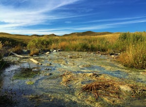
Hike Sulphur Springs Trail
3.32 mi / 278 ft gainYou can find the Sulphur Springs trailhead near the Morony Dam and Reservoir. There's a graveled parking lot, an outhouse and an informative story board to quell your curiosity. For your convenience, I'll give you a Reader's Digest version of the history of this specific area. As we all know, Lew...Read more -
Condon, Montana
Climb Holland Peak
11 mi / 5200 ft gainAbout 2 mi. south of Condon, MT, take Rumble Creek Road east to Cooney Lookout and park at the trailhead at 4550 ft. Follow the trail for about 1 mi. and after about 100 yards after the third bridge, look for a well worn trail heading up the hill side. Take this steep, hard-packed trail and follo...Read more -
Lolo, Montana
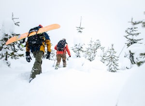
Backcountry Snowshoe and Snowboard near Lolo Pass
1.03 mi / 1250 ft gainFor this trip, you want to head towards Lolo Pass, which is the landmark of the Idaho/Montana border on Highway 12. This highway's two main towns that it begins and ends at are Lolo, Montana and Lewiston, Idaho. If you are on the Montana side, Crooked Fork Road is just a mere 100 yards from the L...Read more -
Kalispell, Montana
Summit Lake Mountain and Nasukoin Mountain
5.012 mi / 3500 ft gainTo reach the trailhead, travel west on US Hwy 93 for 17.9 mi. and then turn right onto Olney Crossover Rd. This road will continue for 8.8 mi. and then keep left onto NF-115 for 9.7 mi. and the destination will be on the right hand side. There is a parking area where the trailhead begins. From th...Read more -
Flathead County, Montana
Snowshoe the North Fork Area of the Flathead River
1.5 mi / 0 ft gainStarting in Columbia Falls, MT, which is 17 miles from Kalispell, MT, locate North Fork Road off of Railroad Street. Follow North Fork Road about 17 miles. While along the Flathead River, there are many Forest Service roads that are accessible to snowshoe along. There are roads that lead to the F...Read more -
Augusta, Montana
Hike Crown Mountain, Augusta
8 mi / 4200 ft gainLocated an hour and forty minutes east of Great Falls Montana, Crown Mountain is a fun day hike, and you'll see few if any other people. The nearest town is Augusta and a great place to stop for a burger and beer at Buckhorn Bar afterward. From Augusta, head West on Benchmark Road for 20 miles. ...Read more -
Deer Lodge, Montana
Summit Mount Powell
11.6 mi / 4730 ft gainFrom Interstate 90, exit at Racetrack #195. Continue west for one mile and turn north at a T intersection. Follow the road for about 0.75 mi. to Quinlan Rd. and continue west with a dogleg south for 3.5 mi. Take a sharp right to the north east to a Y and take the left fork. After about 0.07 mi., ...Read more -
Glacier County, Montana
Photograph Wild Goose Island
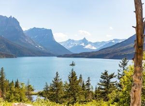
5.0Wild Goose Island in Glacier National Park is one of the most iconic photography locations in the park. As a subject it differs wildly from time of year and time of day; a gorgeous 14' tall element surrounded by a vast alpine lake in the heart of a glaciated valley set against glacier-carved peak...Read more -
West Yellowstone, Montana
Fly Fish the Madison River (Hebgen Lake to Earthquake Lake)
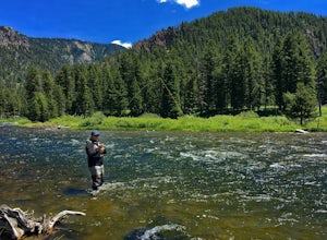
The Madison River runs for 183 miles through Wyoming and Montana; however, this section of the Madison is between Hebgen Lake and Earthquake Lake. You get there by driving along Hebgen Lake Road to the Campfire Lodge Resort. Turn into here and head down the dirt road to your right (Ghost Village ...Read more -
Flathead County, Montana
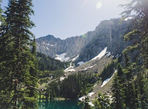
Backpack to Link Lake
1.3 mi / 600 ft gainTo reach the trailhead, travel west on US Hwy 93 for 17.9 mi. and then turn right onto Olney Crossover Rd. This road will continue for 8.8 mi. and then keep left onto NF-115 for 9.7 mi. and the destination will be on the right hand side. There is a parking area where the trailhead begins. From th...Read more -
Browning, Montana
Summit Reynolds Mountain via the North Face Ascent Route
7.9 mi / 2500 ft gainMt. Reynolds is a premier peak in Glacier National Park (GNP). The views from the beginning to the summit are incredible all the way around. Reynolds offers those who are starting to climb an introductory climb with little technicality and a reward that is well earned at the top. GNP requires an ...Read more

