West Glacier, Montana
Looking for the best hiking in West Glacier? We've got you covered with the top trails, trips, hiking, backpacking, camping and more around West Glacier. The detailed guides, photos, and reviews are all submitted by the Outbound community.
Top Hiking Spots in and near West Glacier
-
Columbia Falls, Montana
Hike to Apgar Lookout
4.57 mi / 1850 ft gainPrecursor: I completed this hike in November, hence the snow in the photos. Due to a lack of tree coverage, this hike is best suited for a cool summer day, or in the late spring and early autumn. It is doable in the heat of the summer, but be sure to pack plenty of water. This hike begins by tre...Read more -
Flathead County, Montana
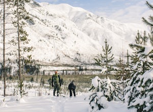
Snowshoe the North Fork Area of the Flathead River
1.5 mi / 0 ft gainStarting in Columbia Falls, MT, which is 17 miles from Kalispell, MT, locate North Fork Road off of Railroad Street. Follow North Fork Road about 17 miles. While along the Flathead River, there are many Forest Service roads that are accessible to snowshoe along. There are roads that lead to the F...Read more -
West Glacier, Montana
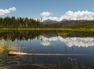
Hike to Howe Lake
4 mi / 240 ft gainThe hike begins along the Inner North Fork road across from a small parking area. The trail meanders up a slight incline most of the way through areas of a recent fire, as well as some areas with spectacular wildflowers when it gets a bit more lush. Around 1.7 miles in you will go up a relatively...Read more -
West Glacier, Montana
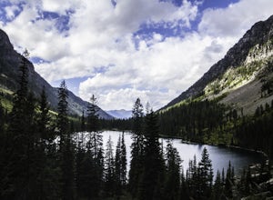
Backpack to Lincoln Lake
16.75 mi / 3747 ft gainIt's a 1600 ft slow increase in elevation. You can walk around the loose rocks going around the lake for an additional 2 miles of hiking. There is a back-country campground at the base of the glacier-fed lake and an amazing waterfall at the opposite end of the of the campground. To camp overnig...Read more -
West Glacier, Montana
Hike to the Mt. Brown Lookout
5.0The trail is accessible (though sometimes covered in snow) year-round because the trailhead lies in the lower elevation area of the park. It begins at the Sperry Trailhead, located directly across the street from the lake McDonald Lodge. Follow the Sperry Trail for 1.6 miles until you reach the M...Read more -
Martin City, Montana
Drive around Hungry Horse Reservoir
About 100 miles of mostly gravel roads (14 miles of pavement) will take you around this beautiful reservoir. With that many miles of road and the shoreline to go with it, it is obvious that there is plenty to see and do in the Hungry Horse area. Check out some of my other adventures for ideas of...Read more -
Flathead County, Montana
Hike Glacier View Mountain
5.04 mi / 2880 ft gainDriving north from Columbia Falls, MT for 20 miles, park after the junction of the Camas Road and the North Fork Road. This parking area is directly after the junction on the east side of the road and the trail begins on the west side of the road.The beginning of the trail is started with many sw...Read more -
Flathead County, Montana
Hike Demer's Ridge
7.47 mi / 3420 ft gainThis trail is a point to point, so two cars are necessary. The ending point is where Camas Rd intersects the North Fork Road at the Blankenship Bridge. The starting point for the hike is at Demer's Pit. Driving 22 miles from Columbia Falls, MT, make your way to the parking spot, Demer's Pit. From...Read more -
West Glacier, Montana
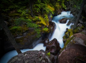
Explore Avalanche Creek
5.00.7 miAvalanche Creek is one of Glacier National Park's easiest features to access and also one of its most unique. The old-growth cedar forest is home to towering trees, moss-covered boulders, and a rushing stream of glacial water. A small loop trail winds through the lower forest and leads to a bri...Read more -
West Glacier, Montana
Trail of the Cedars
5.00.88 mi / 121 ft gainTrail of the Cedars Trail is a loop trail that takes you by a river located near Lake Mc Donald, Montana.Read more -
West Glacier, Montana
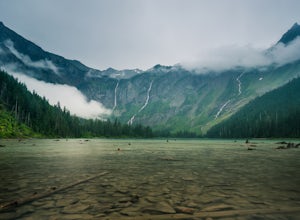
Avalanche Lake via Trail of Cedars
4.95.91 mi / 730 ft gainThis very scenic Glacier National Park hike off of Going-to-the-Sun road is 4.5 miles with a total elevation gain of 730 feet. The hike to Avalanche Lake begins from the Trail of the Cedars trailhead. Be prepared for a lot of incline. Approximately one half mile from the trailhead you’ll reach...Read more -
Flathead County, Montana
Hike to Blaine Mountain
7.3 mi / 2350 ft gainTo reach the trailhead for this hike, it is about an hour's drive from nearby Kalispell. You will drive around Hungry Horse Reservoir on the West Side Road, and turn off onto Doris Creek Road. Be sure NOT to get this mistaken with the nearby Doris Ridge Road. Once turning onto Doris Creek Road, i...Read more -
West Glacier, Montana
Backpack to Logging Lake
8.8 miBackcountry camping is the best plan if you’d like to visit Logging Lake, and the primitive campsites lay at the end of a four and a half mile hike through some of the most unspoiled sections of the park. The trail follows logging creek most of the way to the lake traversing through a variety of ...Read more -
Whitefish, Montana
Hike Whitefish Mountain via the Danny On Trail
5.07.6 mi / 2250 ft gainThe Danny On Trail starts from the base area of Whitefish Mountain Ski Resort and zig zags its way up to the summit. The trailhead is near the Chalet building/Hellroaring Saloon upper parking lot (there's a big sign). The trail passes through Douglas fir, western larch, spruce and fir trees. The ...Read more -
Browning, Montana
Hidden Lake Overlook
5.02.83 miThe trail starts at the Logan Pass Visitor Center, which is right in the middle of Going-To-The-Sun Road. It can be very busy during the middle of the day, but early morning and early evening will have less of a crowd. It's a pretty short hike in a beautiful wide open alpine meadow. We were gree...Read more -
Browning, Montana
Hike Dragon's Tail Ridge
3.53 mi / 1800 ft gainStarting from Logan's Pass, make your way along the boardwalk that leads to the Hidden Lake Overlook. Depending on the previous winter, there may be quite a bit of snow covering large portions of the boardwalk and trail that leads to Dragon's Tail, so it is suggested that you take any necessary p...Read more

