Essex, Montana
Looking for the best photography in Essex? We've got you covered with the top trails, trips, hiking, backpacking, camping and more around Essex. The detailed guides, photos, and reviews are all submitted by the Outbound community.
Top Photography Spots in and near Essex
-
Browning, Montana
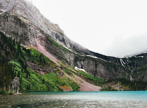
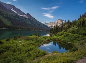
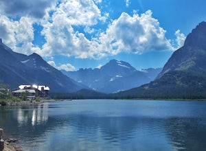
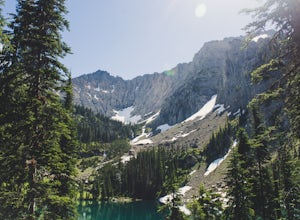
Grinnell Lake
5.07.15 mi / 230 ft gainThe hike to Grinnell Lake begins at the Grinnell Glacier Trailhead, approximately 0.5 miles past Many Glacier Hotel in the Many Glacier area of Glacier National Park. For folks staying in the hotel, there is an optional trailhead just south of the building. There is also is a boat shuttle for tho...Read more -
Browning, Montana
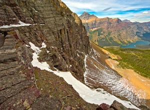
Grinnell Glacier in Glacier NP
5.011.33 mi / 1840 ft gainThe Grinnel Glacier Hike begins at the Grinnell Glacier Trailhead just past the Many Glacier Lodge. A fee of $25 is required to enter Glacier National Park for a seven-day pass. The Many Glacier region is entered from the east side of the park from the Blackfeet Indian Reservation. The Grinnel...Read more -
Browning, Montana
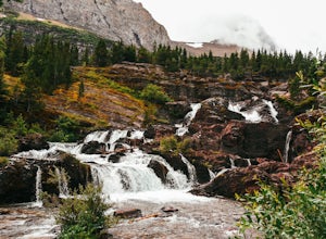
Redrock Falls
4.53.73 mi / 100 ft gainThe hike to Redrock Falls begins at the Swiftcurrent Pass Trailhead in the Many Glacier area of Glacier National Park. The trailhead is located at the western end of the Swiftcurrent Motor Inn parking lot. From the trailhead, head straight toward Swiftcurrent Pass and Redrock Falls. At approxi...Read more -
Browning, Montana
Swiftcurrent Lookout
16.68 mi / 4491 ft gainTake this beautiful hike up Swiftcurrent Mountain to the Fire Lookout (8436 ft). The hike is 7.1 miles one-way from from the Swiftcurrent Inn parking lot trailhead. The elevation gain is 2,307 feet. The First 3 miles or so are a flat hike where you'll pass by several famous lakes and gain only ...Read more -
Browning, Montana
Walk the Swiftcurrent Nature Trail, Glacier National Park
5.02.66 mi / 135 ft gainWalking in either direction, the trail is easy to follow. If you take the loop counter-clockwise, you will reach the Grinnell Glacier parking area in just over a half mile (which is an alternate starting point for this trail). Follow the signs and continue left to rejoin the trail. About a mile l...Read more -
Swiftcurrent, Montana
Glacier's North Circle Route (North East Section)
9.7 miPlanning & Preparations As amazing as this trek is, it's certainly not without its challenges, and the first one you will run into is obtaining a backcountry permit for camping. As it absolutely should, backcountry camping is very regulated. Essentially, you request permits and multiple da...Read more -
Browning, Montana
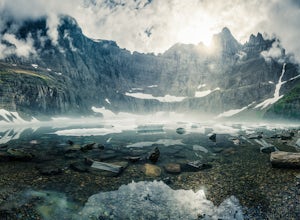
Iceberg Lake
4.99.7 mi / 1200 ft gainThe 9.7-mile out-and-back trail starts in the Many Glacier area of Glacier National Park, near the Swiftcurrent Motor Inn. The trailhead is easy to find at the northwest corner of the Inn area and the trail is well marked the whole way. The trail heads northwest almost the entire time except for ...Read more -
Browning, Montana
Ptarmigan Tunnel
5.010.68 mi / 2713 ft gainThis amazing 11 mile hike with 2,300 feet of vertial gain begins behind the Swiftcurrent Motor Inn cabins. If you start early enough you can park by the trailhead, but if you get a little later start you may need to park in the main lot of the Motor Inn. As you begin your hike, you will pass the...Read more -
Glacier County, Montana
Ptarmigan Falls
5.05.11 mi / 768 ft gain...The hike to Ptarmigan Falls begins next to the cabins near the Swiftcurrent Motor Inn. There’s enough parking for about 10-16 vehicles in the lot next to the trailhead. This is a heavily trafficked area, so extra parking is available in front of the Swiftcurrent Motor Inn. This is where I park...Read more -
Swiftcurrent, Montana
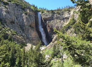
Hike to Apikuni Falls at Glacier National Park
5.01.92 mi / 670 ft gainFrom the parking lot follow the trail to the left to Apikuni Falls. The first 1/4 mile of the trail is an easy stroll through an open field before entering an aspen forest where the trail ascends more than 500 feet in less than 1/2 mile. The falls won't be visible until the final 1/8 mile of the...Read more -
Browning, Montana
Backpack to Poia Lake, Glacier NP
12.8 mi / 1700 ft gainLocated in Many Glacier, the Red Gap Pass trail begins at the Apikuni Falls Trailhead located east of the Many Glacier Lodge (if you're looking to check out the falls before your hike, check out Hike to Apikuni Falls at Glacier National Park). The trail starts at a gradual incline and continue th...Read more -
Flathead County, Montana
Hike Demer's Ridge
7.47 mi / 3420 ft gainThis trail is a point to point, so two cars are necessary. The ending point is where Camas Rd intersects the North Fork Road at the Blankenship Bridge. The starting point for the hike is at Demer's Pit. Driving 22 miles from Columbia Falls, MT, make your way to the parking spot, Demer's Pit. From...Read more -
Bigfork, Montana
Summit Swan Peak
18.49 mi / 6180 ft gainThis hike is about an hour drive south from Kalispell. Follow MT-83 S for about 47 mi. towards and past Swan Lake. Take a left on NF-554 and follow the road for 1.6 mi. and take a right on Squeezer Creek Rd. and follow the road for 4 mi. to a gated road and park near the gate. Follow the gated ro...Read more -
Dayton, Montana
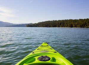
Kayak to Wild Horse Island
5.0There are many boat ramps to access Flathead Lake, but the closest location to Wild Horse Island is Dayton, MT. Dayton offers easy access with only about a 1-hour paddle to the island for the novice kayakers. Unfortunately, the boat ramp in Dayton does not have room for parking, thus it is only a...Read more -
Choteau, Montana
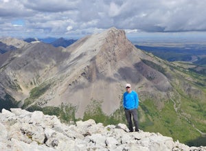
Hike Mount Werner
9.5 mi / 3048 ft gainThe Mount Werner Trail starts at the Blackleaf Canyon Trailhead in the Montana front range of the Rocky Mountains. On a side note, Blackleaf Canyon is also a popular rock climbing area. On the trail, you'll walk along Blackleaf Creek, and Muddy Creek so water will be available during the hike in ...Read more -
West Glacier, Montana
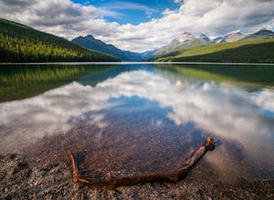
Camp at Bowman Lake
5.026.85 mi / 3005 ft gainBowman lake is the 3rd largest lake in Glacier National Park and one of the most remote areas accessible by car. The drive out on a dirt road is slow and bumpy but the reward is an area without crowds and lots of adventure potential. The first-come-first-served campground offers 48 sites near t...Read more

